Wales, Russians, and Snow, Oh My!
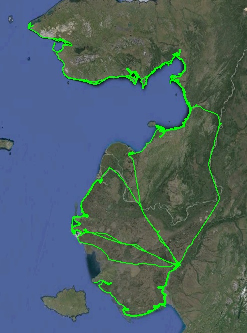
Today we passed through the crux of the project by mapping Wales, thus completing the coastline for the entire northern half of the project.
After spending two and a half days watching the storm through a window, the skies parted briefly yesterday afternoon and I snuck in a few hours of mapping fleshing out the coast from Golovin Bay to Cape Rodney. On either side of it, as as well as a bit in between, ceilings were pretty low with rain, but there was a stretch in sight of Nome that was fine. Though it was only two hours or so, every two hours chips away at the total, and if I could map two hours in every day eventually I would finish…
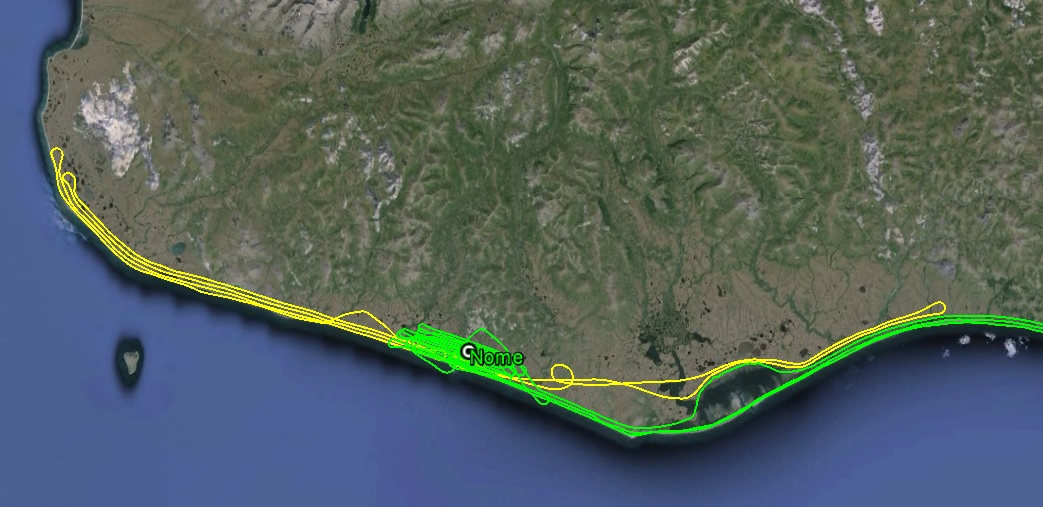
The yellow tracks are from yesterday. Not a lot, but every little bit helps.
The forecast for today was poor, with marginal VFR and IFR predicted towards Wales. Wales was in the same category as Hooper Bay — far from anywhere and a rocky point jutting out into the ocean just begging for bad weather to come and roost there, and notorious for success in doing so. This morning, however, ceilings were in the 3000′ range there and at Teller, so I couldnt resist at least giving it a look. Winds were whipping in the 20-30 mph range everywhere. Wind itself isnt a problem for photogrammetry, but the turbulence it can cause can be a problem for photogrammetrists. I could see that the wind direction in this case would cause me to fly in the lee side of the several mountainous bumps along the coast here, which I was not looking forward to, but I weighed that against waiting here another two weeks for a perfect weather day which might never come, and decided it was worth putting up with.
In the end it wasnt too bad and I made good progress north up the coast. Ceilings were high enough for me to get a full swath width most of the way and Wales seemed to be holding steady, so I passed over Teller and Brevig Mission without mapping them to get to Wales before anything changed. Though not far in distance, it seemed far pschologically, as I was looking forward to the relief that mapping Wales would bring. As I approached from the east, ceilings were high enough for the coast, but not for the mountains that rose sharply from it, which were obscured at their tops. It was definitely a little intimidating flying in carb ice country over a coast lined with rugged rock bluffs that rose into the clouds, but I had good visibility underneath and could see that the flat beach around Wales was in sun in the distance. Soon enough, I was flying over the town, keeping my fingers crossed that the weather would hold, the hardware wouldn’t fail, and that I would never have to come back here.
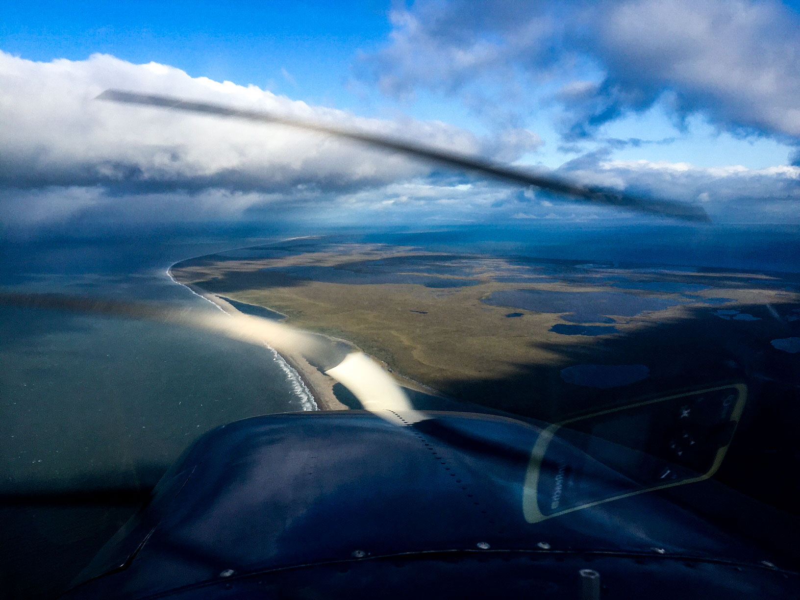
I have to deal with this ALL the time. This is nothing…
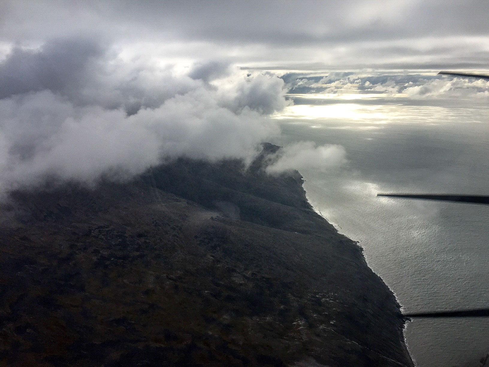
Moments like this make me long for the flatness of Bethel…
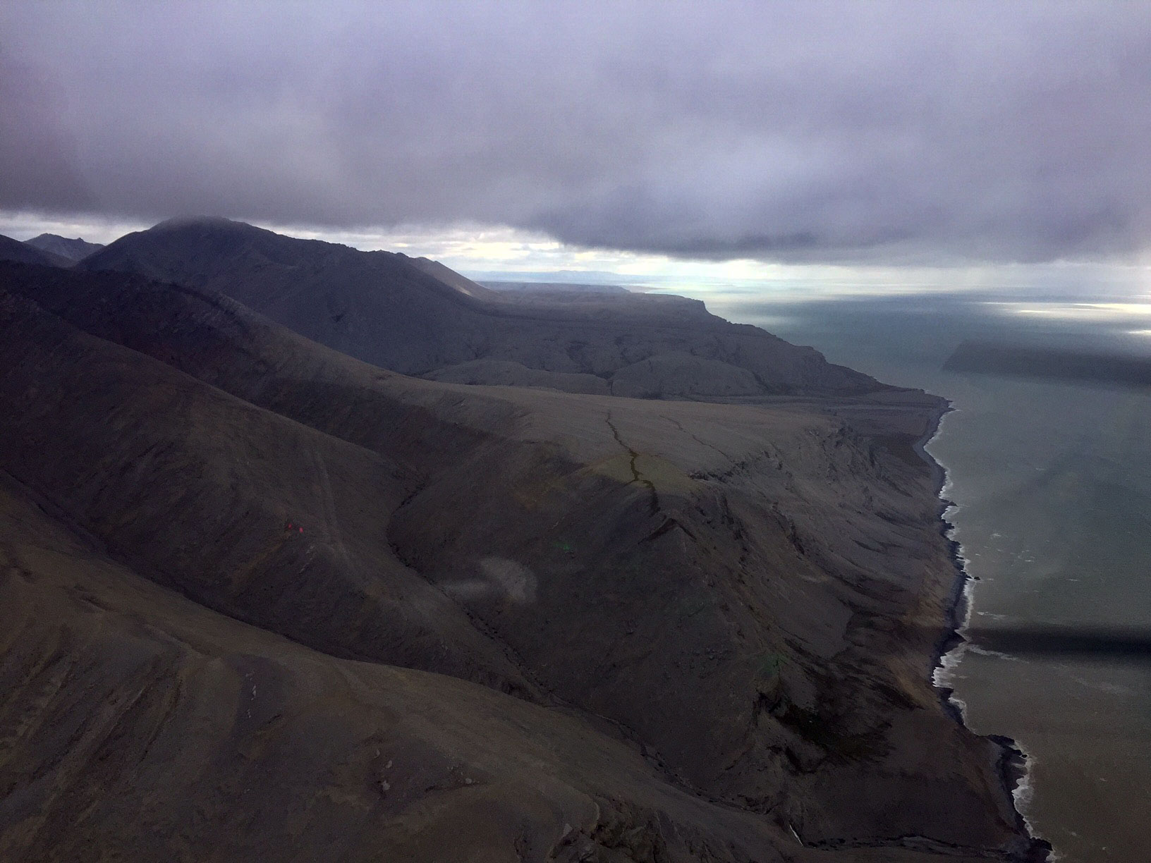
Breaking on through to the other side…
I was there probably an hour or so, and in that time cloud cover changed radically several times. I was never able to get the inland lines up the mountains, but eventually I got the entire peninsula and then some. As it turned out, the ceiling was below my planned height, so I had to fly the entire area by eye at a lower altitude. I’m very glad I had spent a few weeks in Bethel before this, as mapping this area took all of my flying and photogrammetric skills, as well as most of my nerve, getting chased around by clouds, keeping track of where I had and hadnt been, keeping the carburater from freezing, avoiding other traffic, dealing with a 60 mph differential in flight line speed, etc. But with every line I knew I was one step closer to nailing the end of the second end-point of the project and one step closer to getting home.
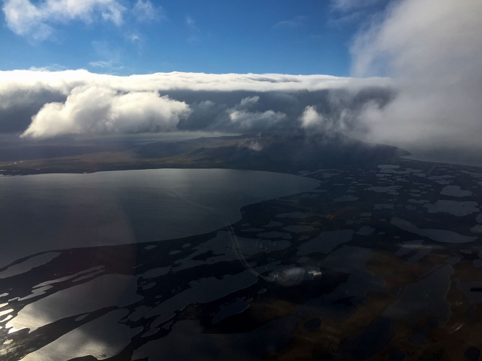
This is looking back on Wales from the Russian side. Note the cloud cover over the mountain.
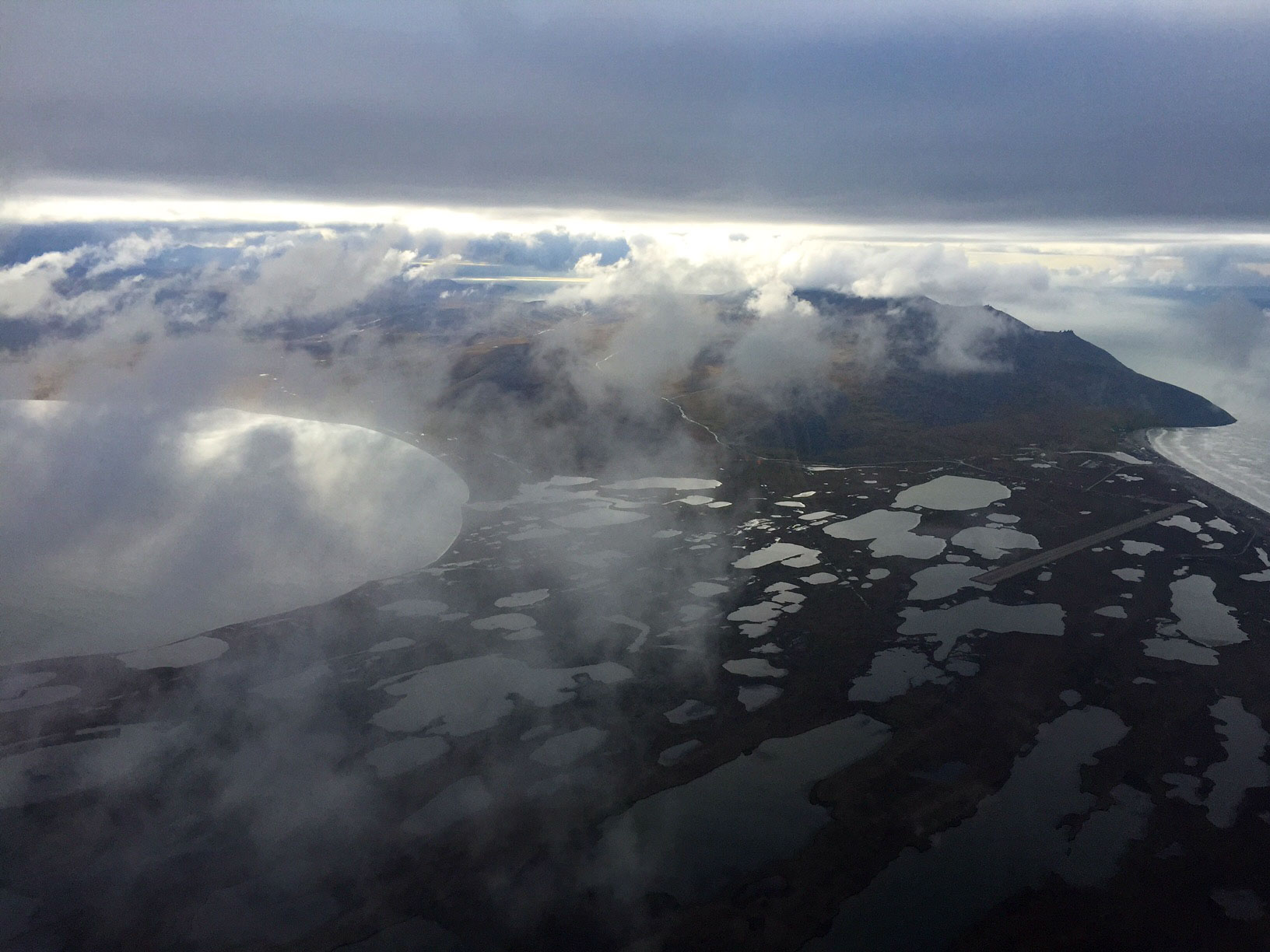
Here about the same view about 10 minutes later. Just Nature’s way of keeping me awake I guess…
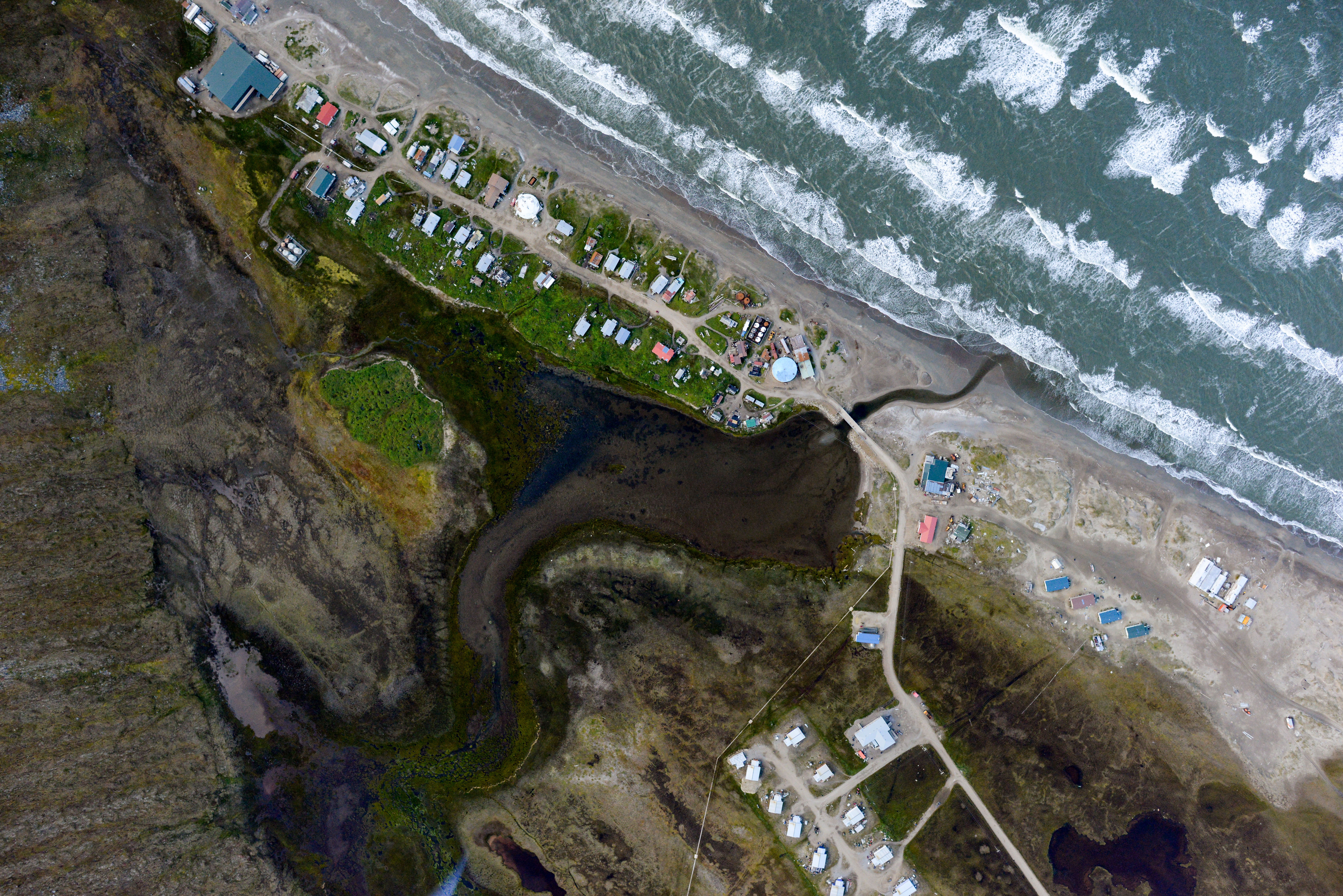
The tiny, precariously perched village of Wales. After a month out here, it was starting to become mythical…
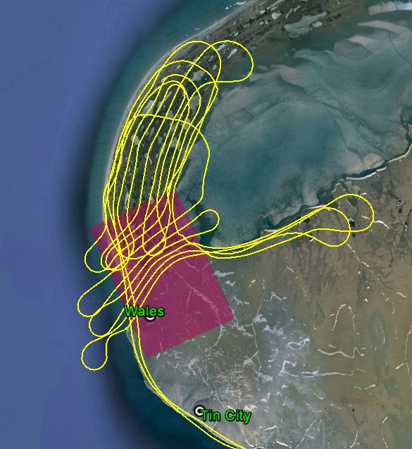
Apparently the mountains behind Wales are the end of the Continental Divide, so I guess this is the photogrammetric equivalent of relieving myself into several different oceans… The purple area is what I had hoped to map, but that’s where the mountains and clouds started and there was just no possibility of that.
As it turns out, Wales is pretty close to Russia. The Diomede Islands are in easy view from there, and a helicopter was shuttling mail, people and gear back and forth while I was out there. Later, as I was pulling into Nome, the radio guy there asked me if I had been out there. Considering the large open water crossing I thought it an odd question, but he then went on to say that they had gotten some blips crossing over from Russia and were trying to rule out lost boneheads from Fairbanks as the cause, though not in so many words. It wasn’t me, really…
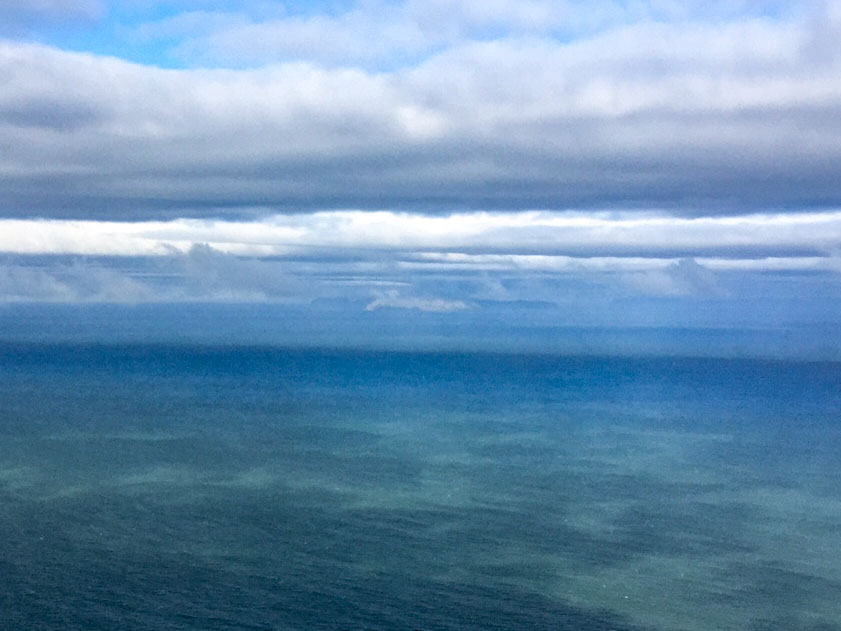
The blurry white streak near the center of the photo is Little Diomede Island. The blurry black streak behind it is Russia.
Another thing it turns out that they have in Wales is snow. Occasionally when the clouds parted I could see that where it was raining on me at low altitudes it was snowing on the peaks. That morning in Nome it was cold and windy, and the weather stations up the coast from there were all reporting in the 30s, so it’s clear that winter is not far away.
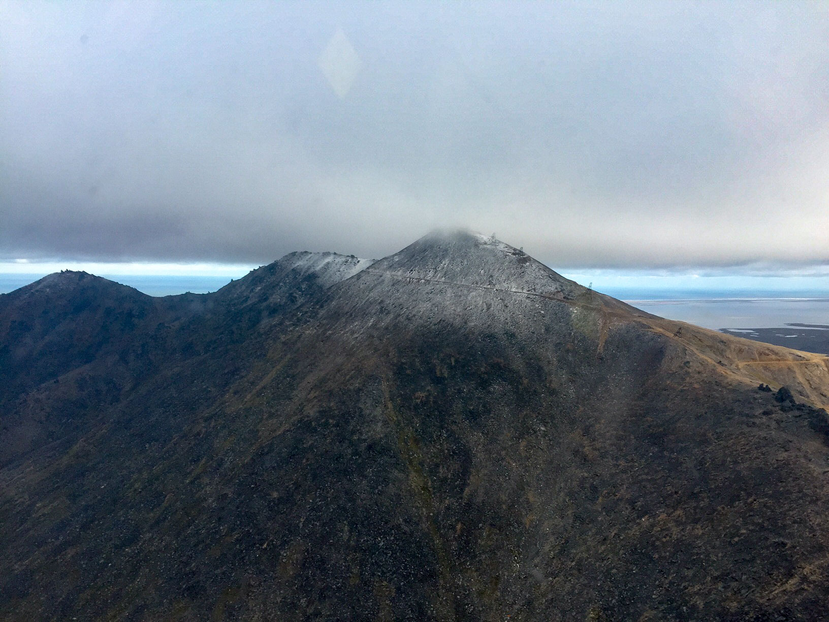
Snow!
On the way back I mapped Teller and Brevig Mission. I began with Teller, but soon had to stop as a dark squall encroached into my area. I had to bust through that one on the way back from Wales and didnt want to deal with it again, so I moved over to Brevig and got a few lines in before it reached there, then landed to wait it out.
Once it passed and I refueled the plane and myself, I finished as much as I could of Brevig. Brevig also lies at the base of a moutain and the ceilings were too low there to get up very high on it. Ceilings in general were gradually dropping, with more and more low hangers that I’d have to roller coaster underneath. I got a few more lines in at Teller, basically with the same story, completing the lower elevations where the infrastructure is, but not being able to get high enough to map the mountains behind. But the people and infrastructure are all low down and the higher stuff accounts for maybe 10% of the total there, so it’s not 100% according to plan, but its close enough for folk music.
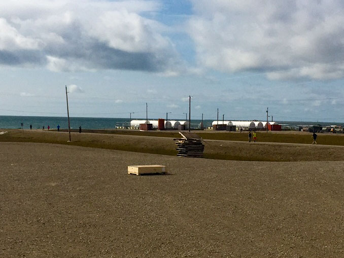
It was apparently gym-class time in Brevig when I was refueling. I was wearing everything I brough with me, these kids are in shorts…
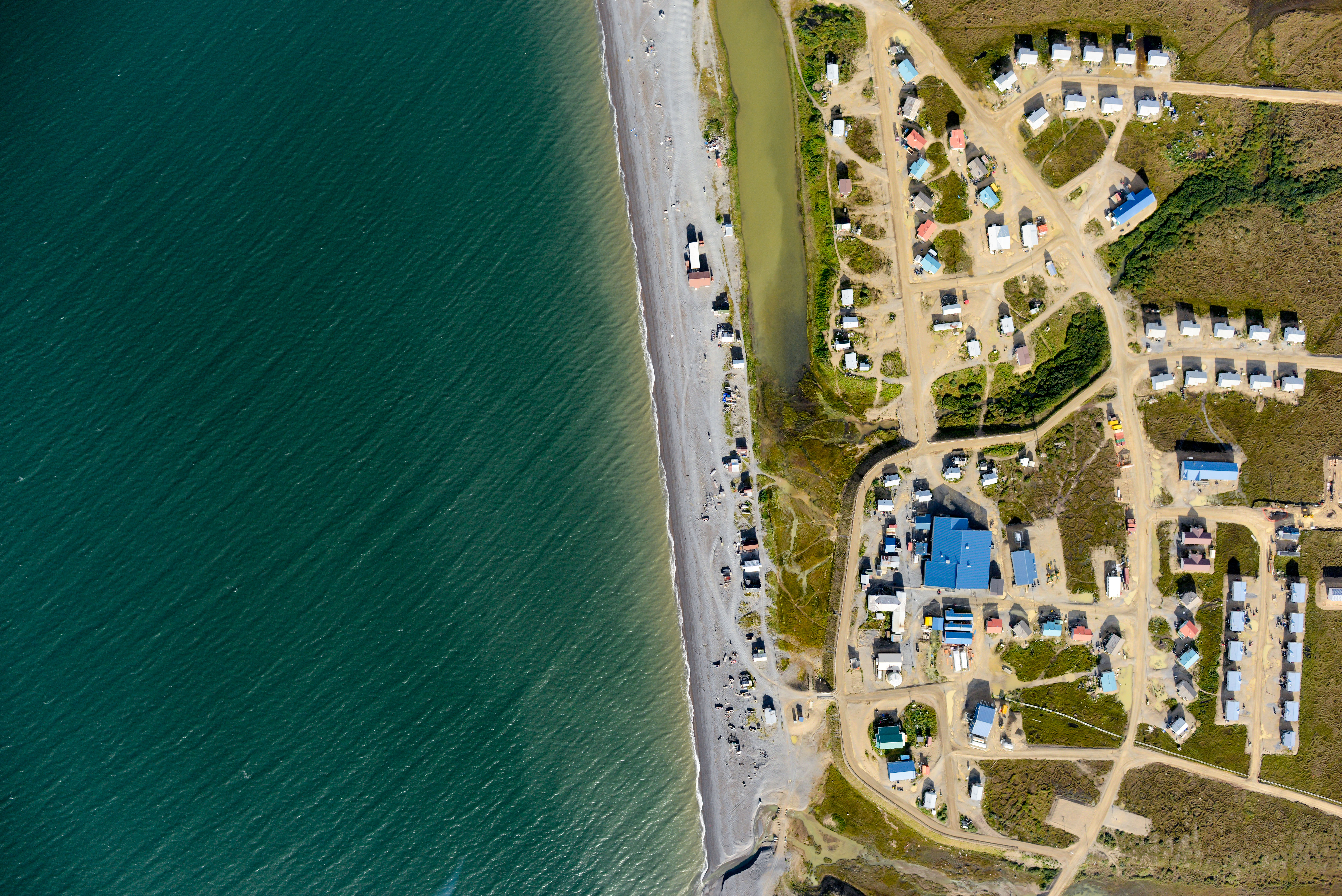
Lot’s of new construction going on in Brevig Mission. Just out of the frame are a bunch of houses being framed, and the Caravan that landed before me dropped off 6 new doors.
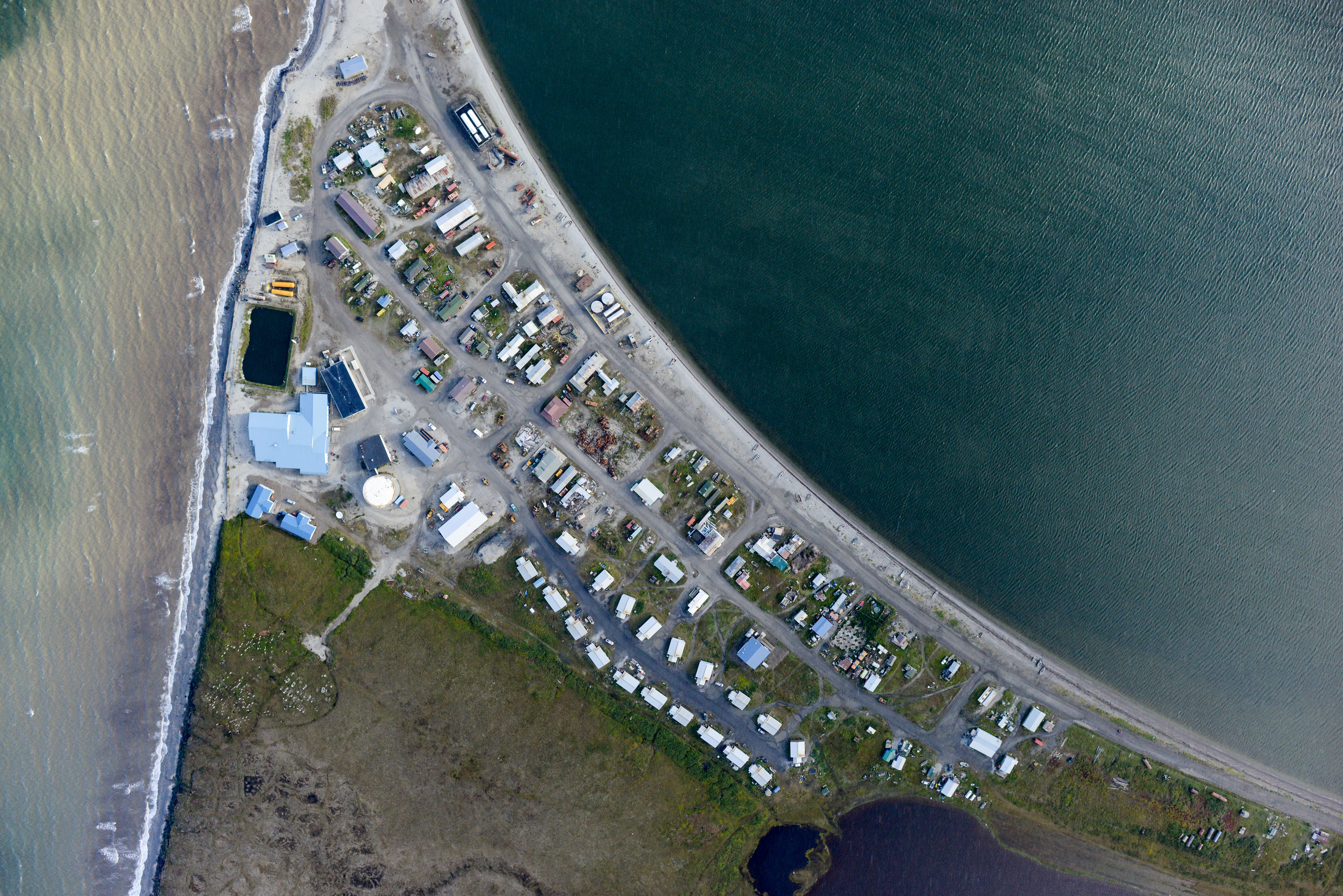
Despite the beautifull hillside right behind them, Tellerians apparently prefer the occasional evacuation to a daily commute to the beach.
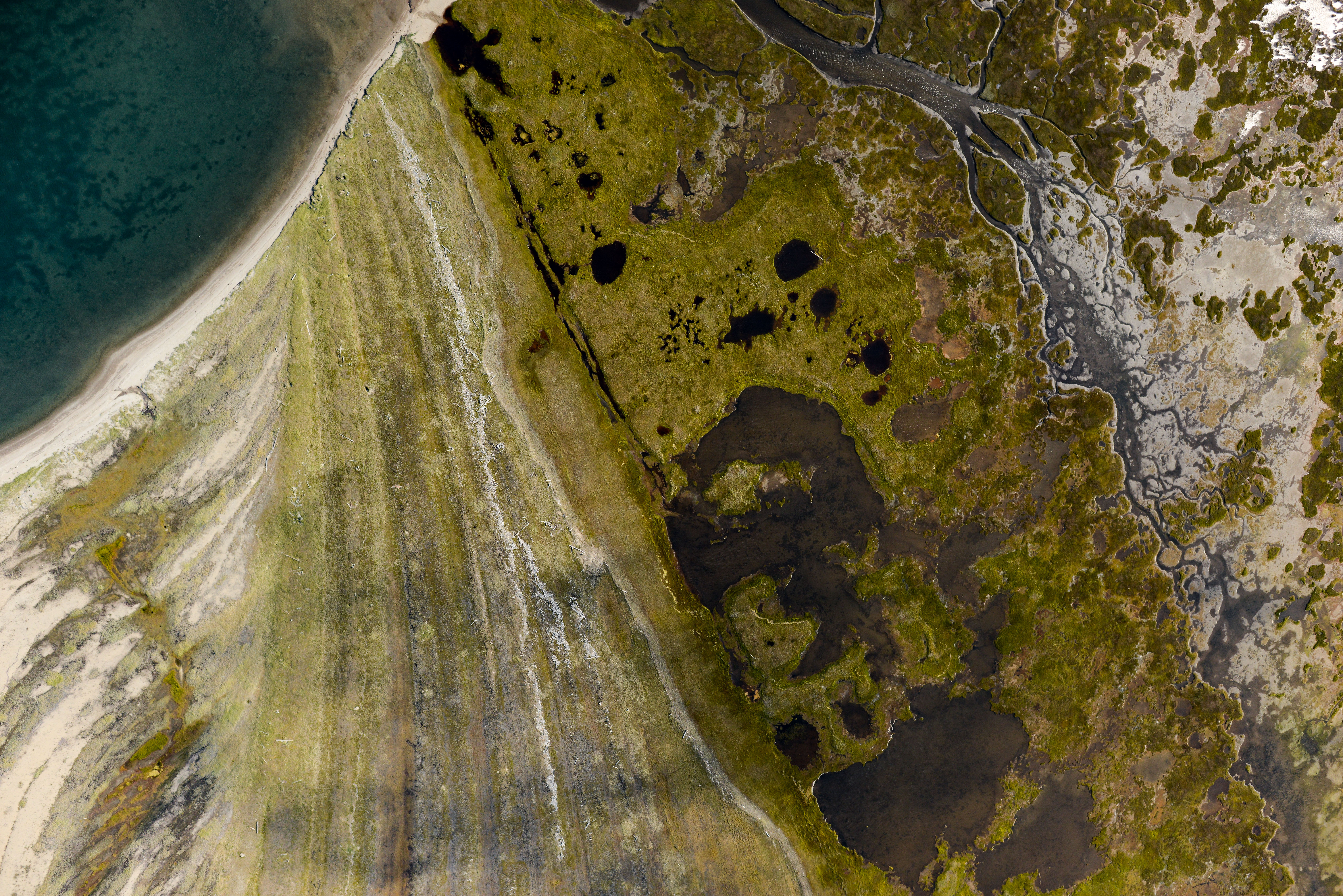
After a fairly routine stretch of beach between Stebbins and Nome, things get pretty interesting again to the north.
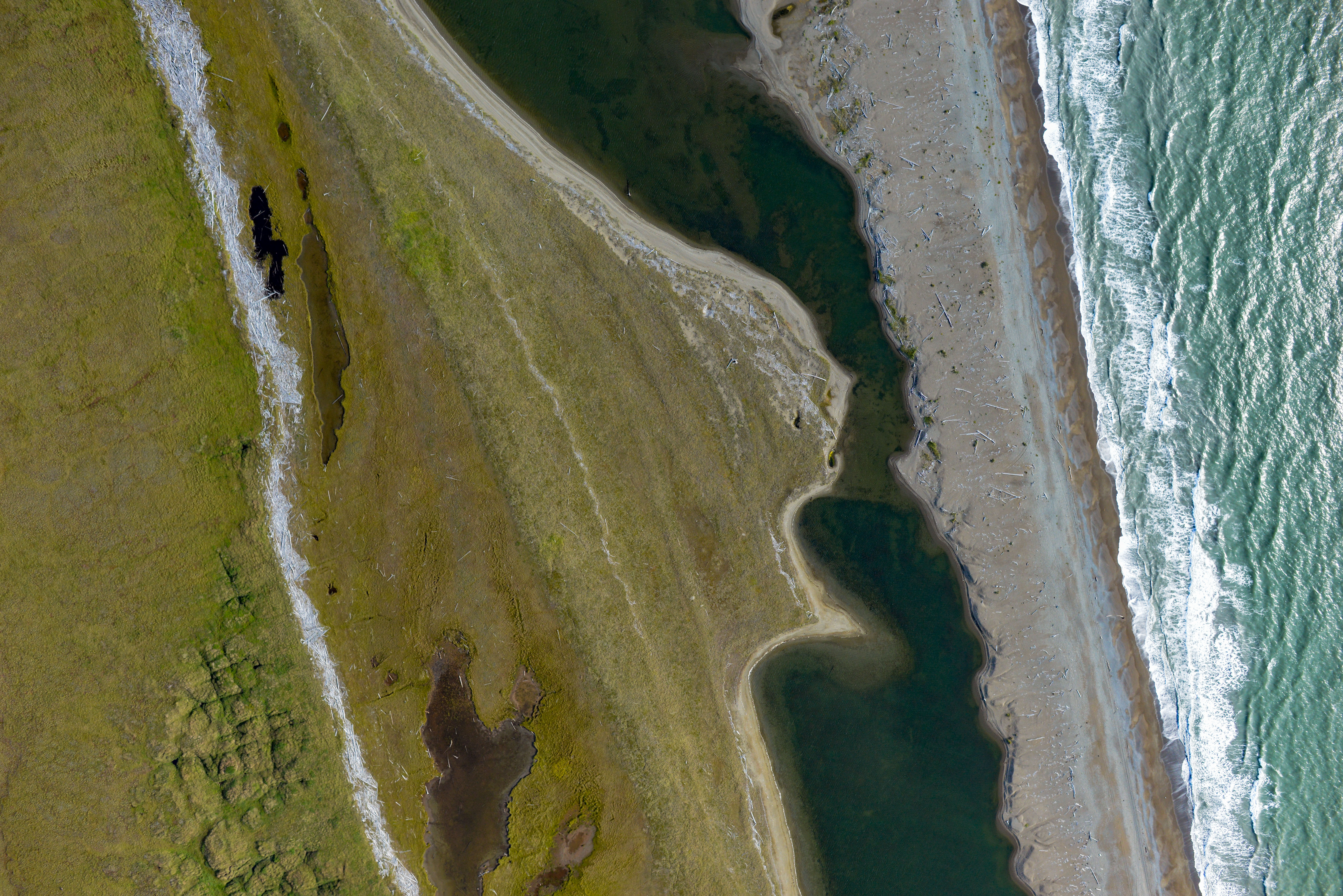
That same 2.5 m driftwood line can be found across the entire coast.
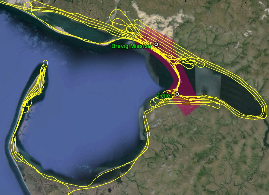
A bit of clean up left to do, but the lion’s share is complete.
It seemed by late afternoon that the storminess had subsided, though the winds were still strong, but now a new layer of clouds was forming. There was enough sun on the ground earlier in the day that I think the ground warmed up and lifted a lot of moisture, but now in the early evening the air was cooling and that moisture was condensing lower and lower. As a scattered layer I got above and mapped the peninsula of Port Clarence. I’m not sure what goes on there, but it has that spooky military feel to it. Maybe it was those guys who tried to bust me for sight seeing in Russia, not sure… In any case, by the time I was done there, the mainland cloud layer was getting pretty solid, so I got underneath and flew the coast back at about 1000′. I had hoped it might disappear or lift by the time I turned the corner, as it would only take another 2 hours or so to do all the cleanup in the area, but it showed no signs of that so I called it a day. After nine hours of clawing my way through the wind and clouds, taking some 10,000 photos, it felt like I had accomplished something. Winds in Nome were over 25 mph, and I was so tickled to land at under 30 mph that I was tempted to do some touch and gos, but other traffic and an empty stomach persuaded me not to. In any case, it was a nice end to a very successful day.
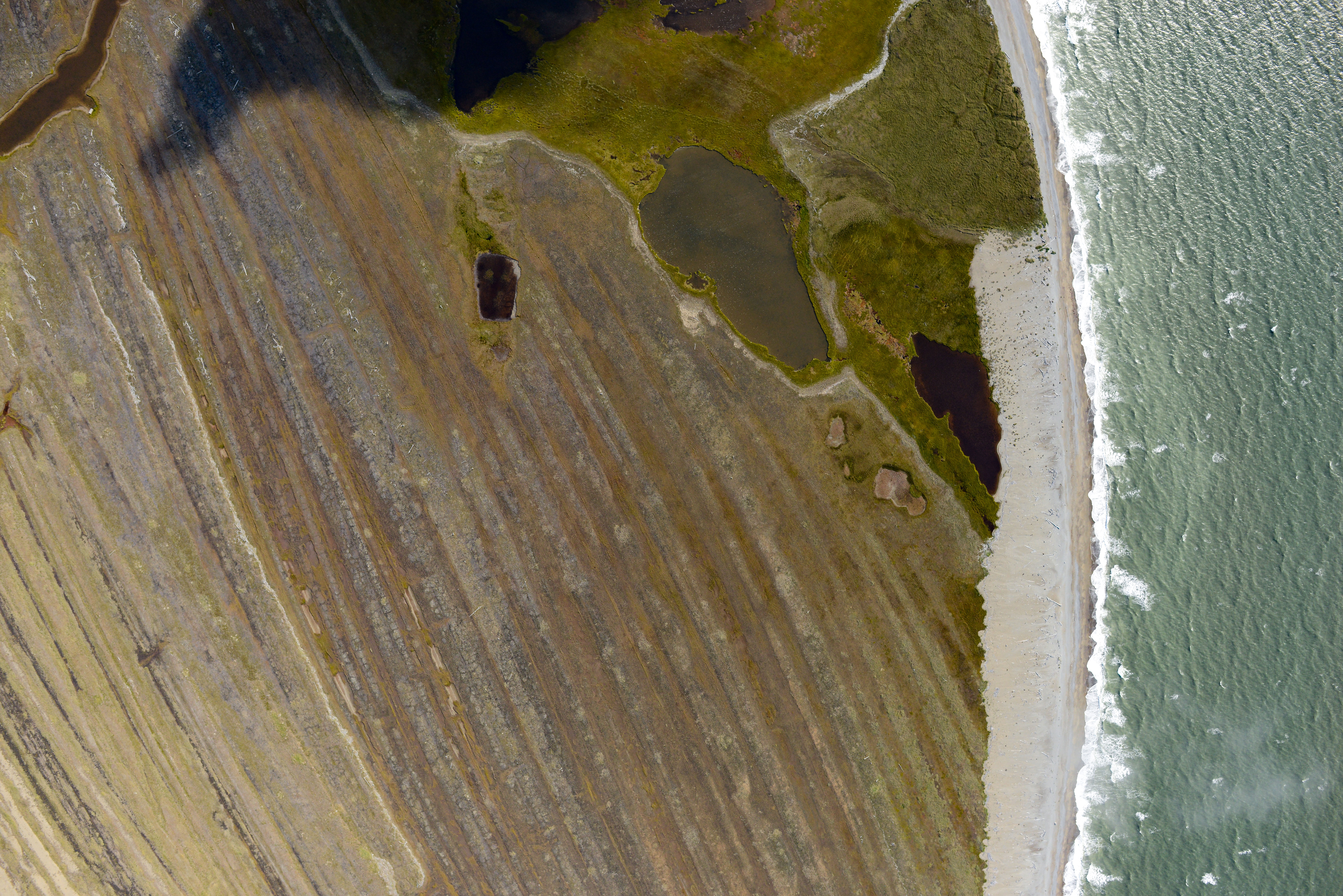
If these were rocks, geologists would call this an uncomformity.
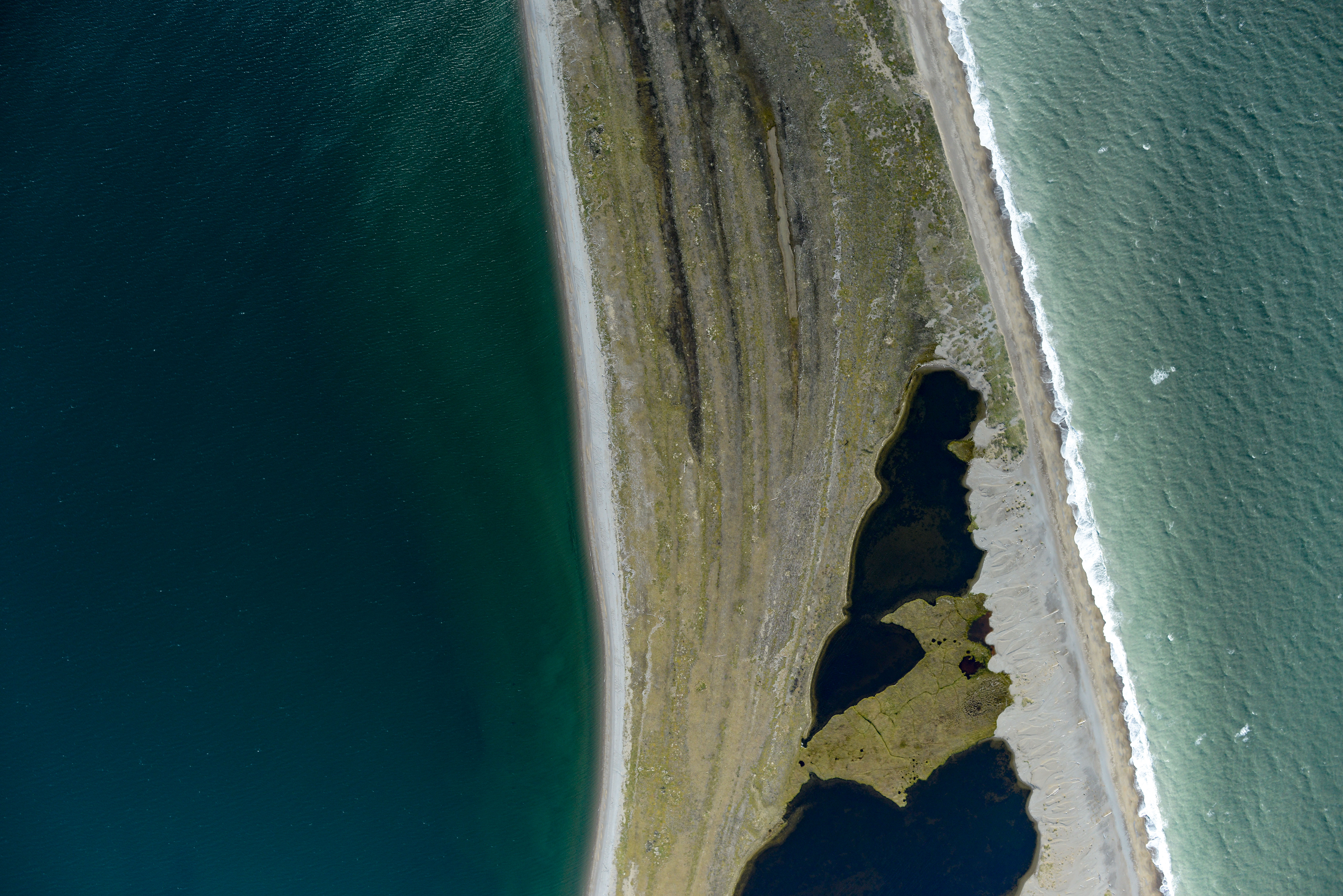
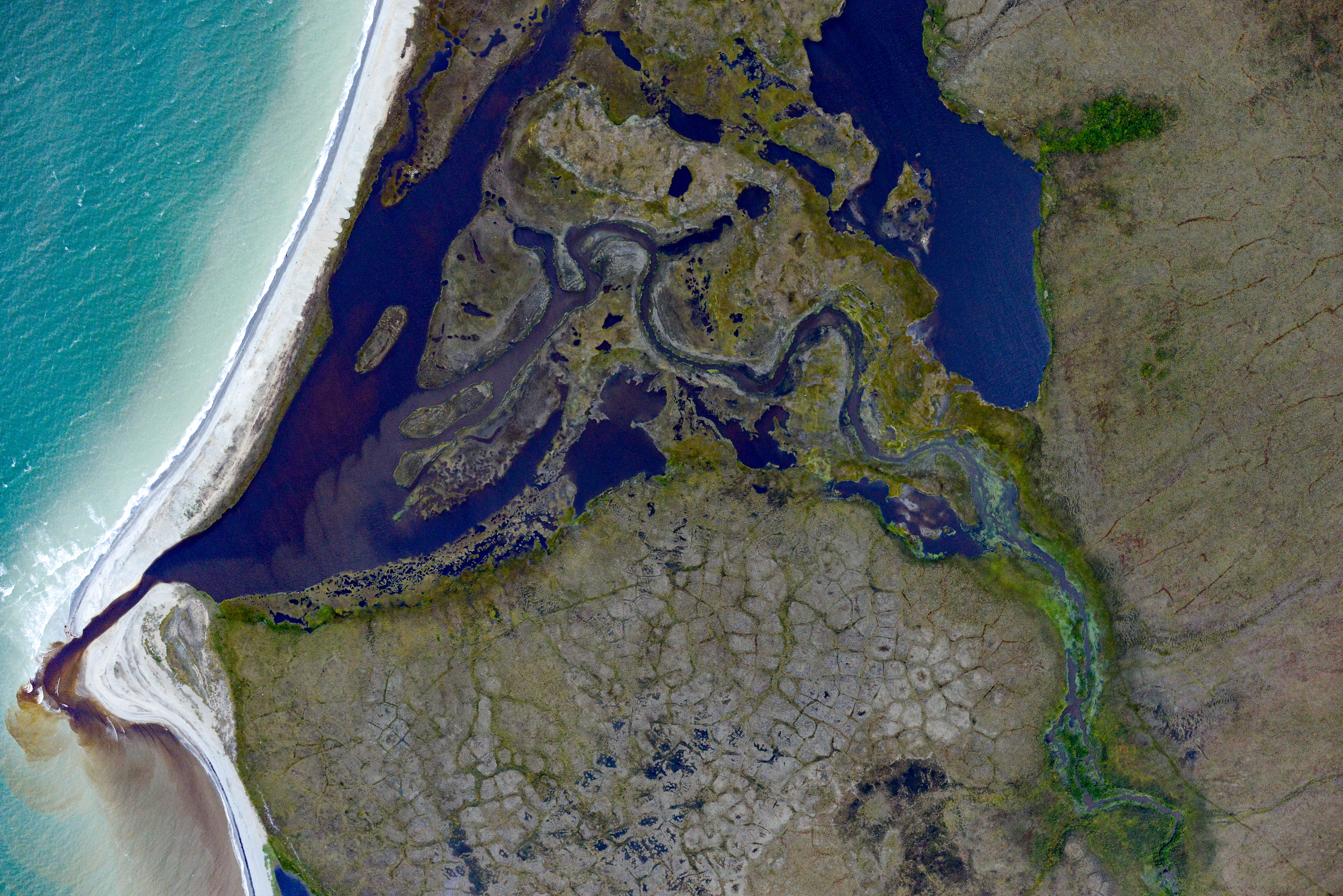
It’s clear all over out here, that the coast has been reworked several times.
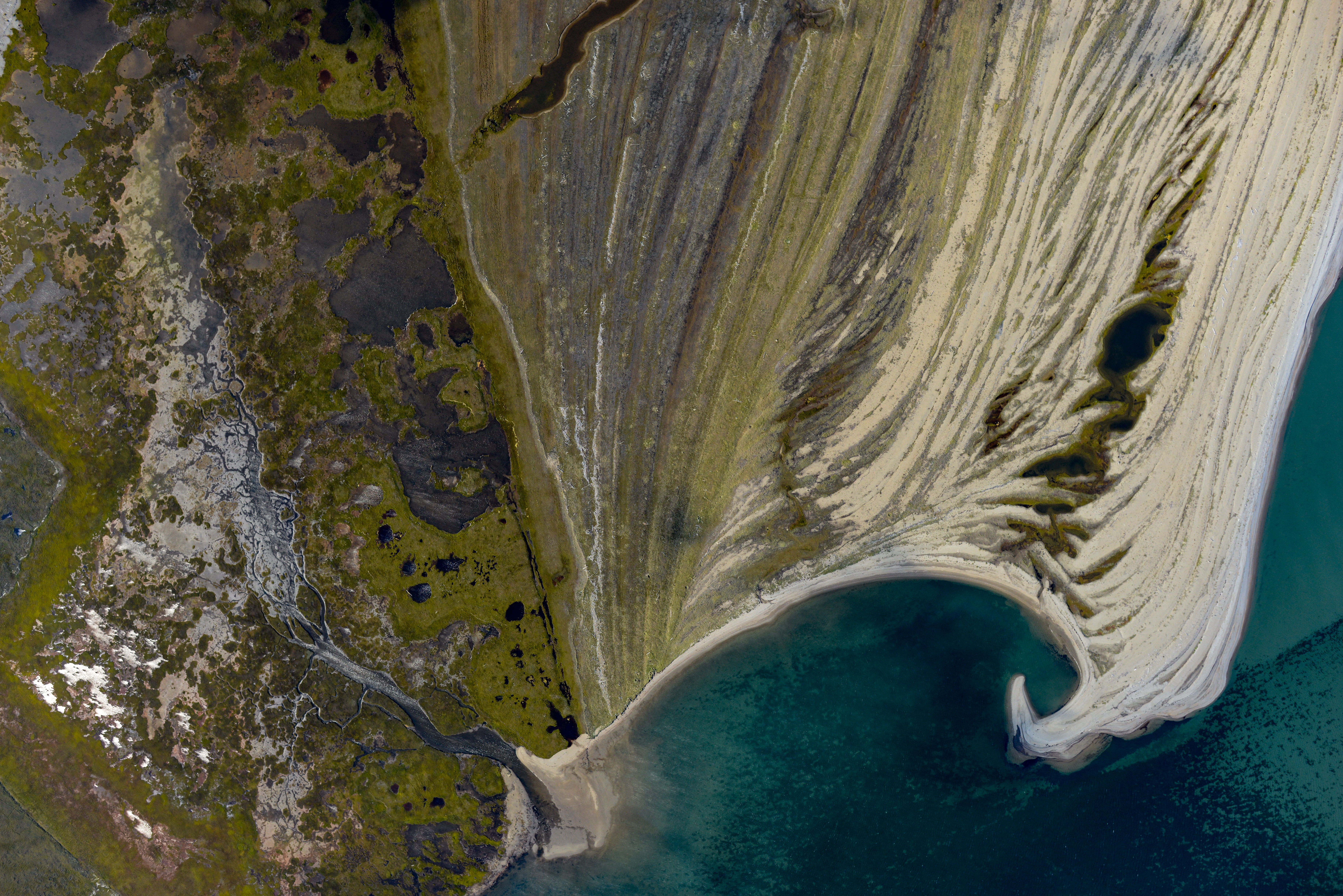
There’s just no predicting morphology like this.
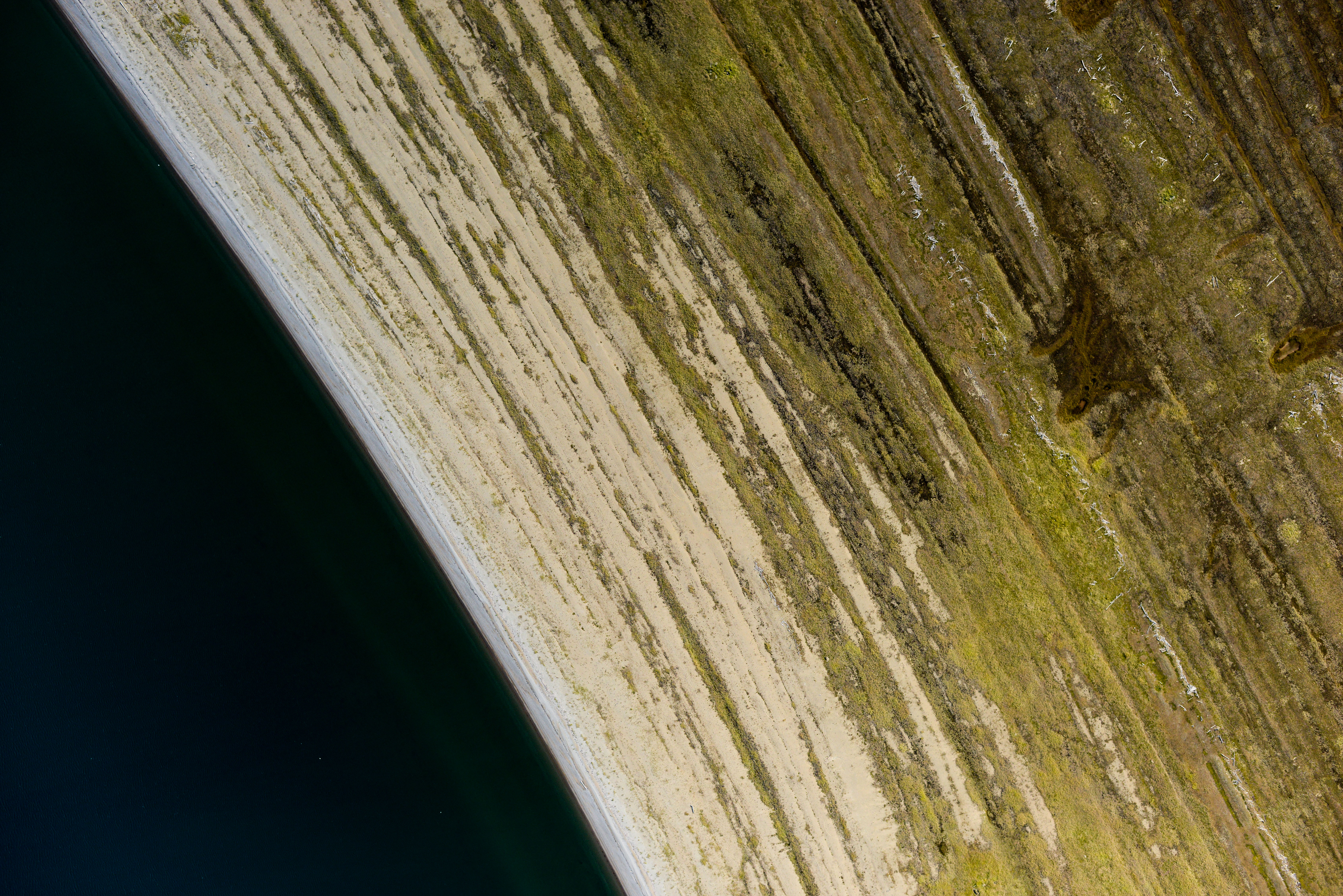
One of the things that’s so remarkable about nature is the relationship between form and scale. This could easily be confused for a piece of wood a few inches across.

All kinds of things going on here.
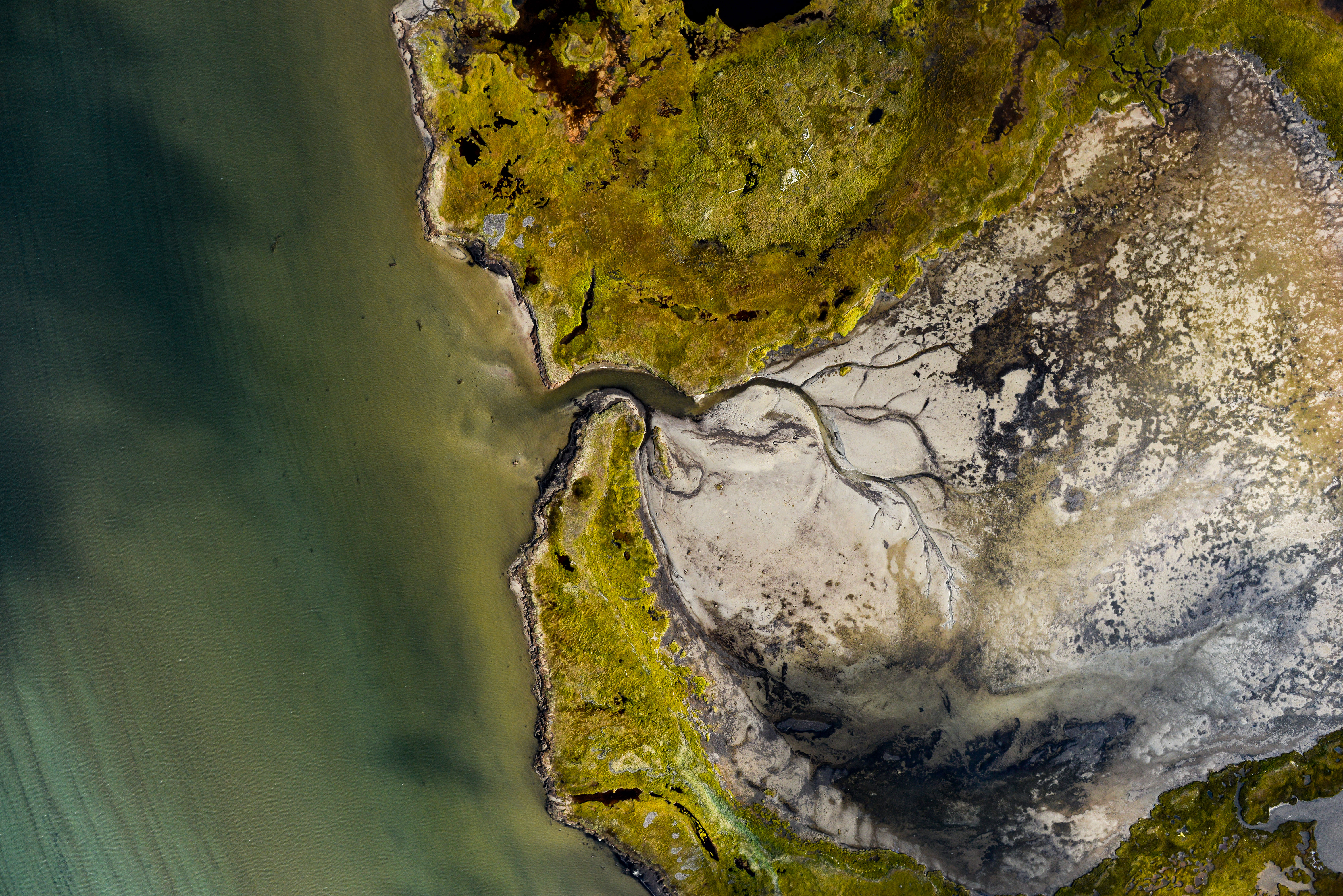
This used to be a lake.
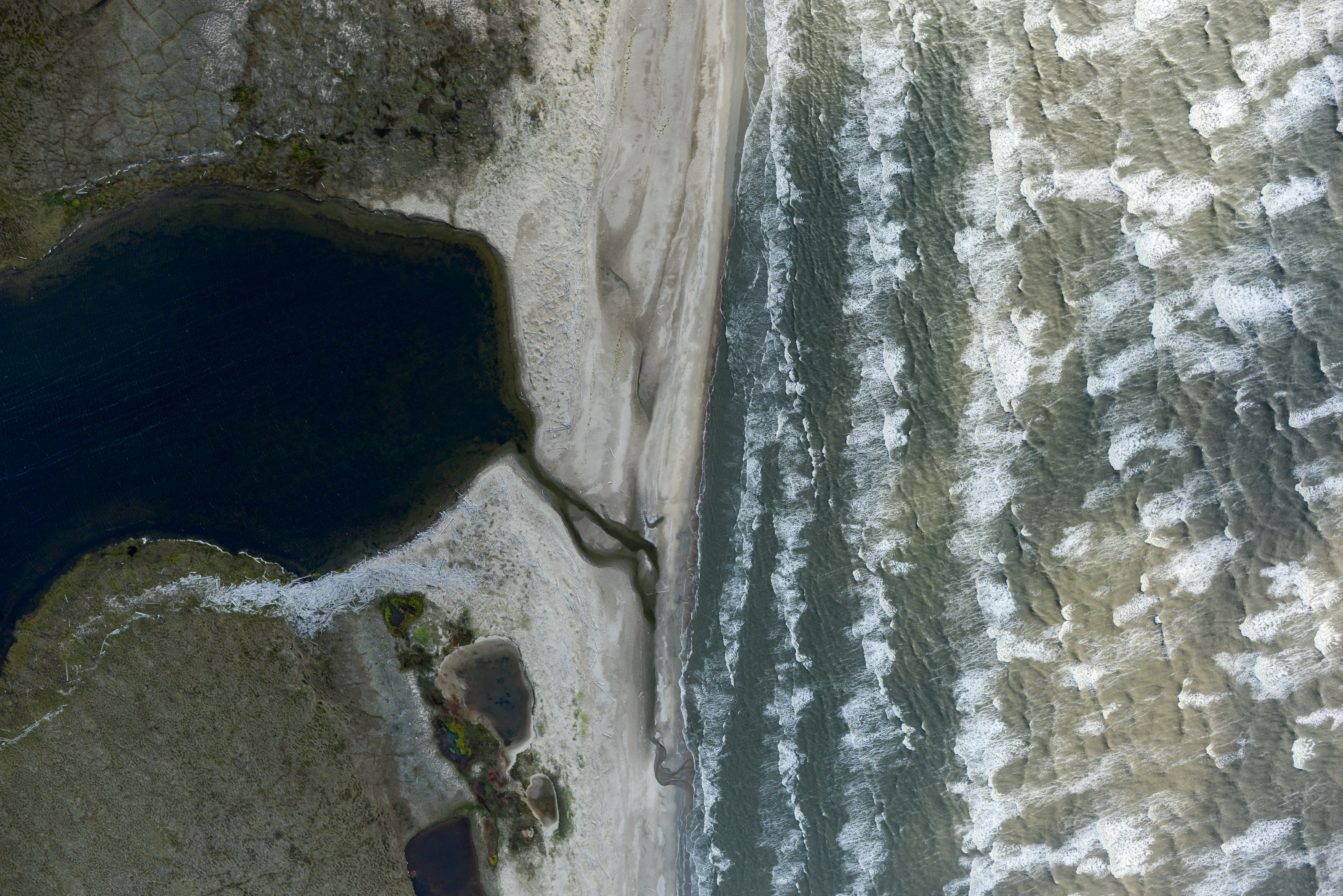 My first thought when I saw this was that the lake was tasting the ocean.
At this point, I feel safe in saying that we’re in danger of actually completing the project this year. That may seem an odd thing to say, but even in the proposal stage I said the chances of starting and completing the project in the month of August were pretty slim, and all involved thought similarly. I dont know how many local pilots I talked with that just smirked or shook their head when I told them my goals, but it was certainly a lot. But now with both endpoints completed — Wales and Bethel — and most of the area and villages in between, it’s really a matter of 4-5 good days of weather in the next two weeks and, knock on aluminum, the plane to stay functional and we could get 90% or more completion. There is certainly some cleanup to do along the entire route, some of which I’m aware of and some of which wont shake out until I process all the data, and given the timing that will have to get pushed off until next year. But again, that’s part of the plan. Of the 32 villages I need to map, I’ve now completed 25 (albeit a couple got shortchanged a bit in area), and the 7 that remain fall into two clusters that can be done in a day each. In terms of coastlines, the Yukon River delta is a two day project, the lower dash is 1-2 days, and the Toksook Bay – Nelson Island area is another 2 days. When I divide the remaining time, according to plan, by the overall time, according to plan, I get about 33%. Or in other words, we’re now about 2/3 done with total area. Practically speaking, because I’ve done so much of the area at lower altitudes than planned, I’ve flown more than the plan already. Plus a lot of the area remaining is inland, so in terms of coastal mapping by eyeballing the map its probably 80% or more acquired now, and the villages are also about 80% complete. So in any case, we’ve got the project on the run and it now seems there’s a reasonable chance of reaching our goals for this year.

