
DOT, DOT, DOT
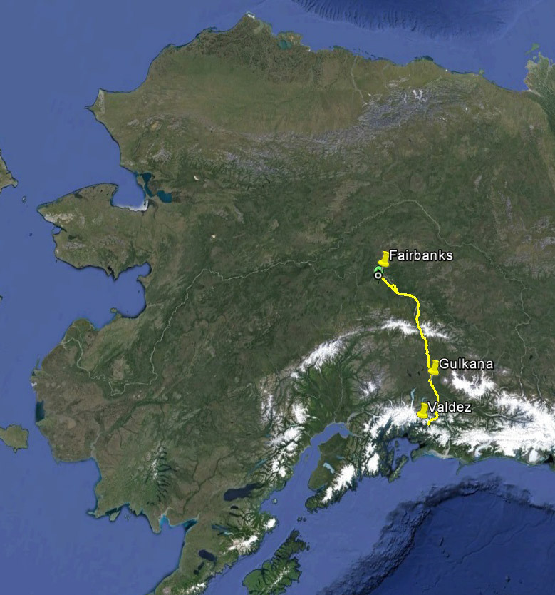
From Fairbanks to Valdez, this week Fairbanks Fodar has mapped a lot of pavement.
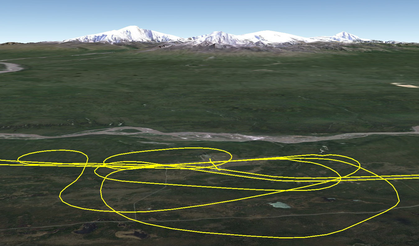
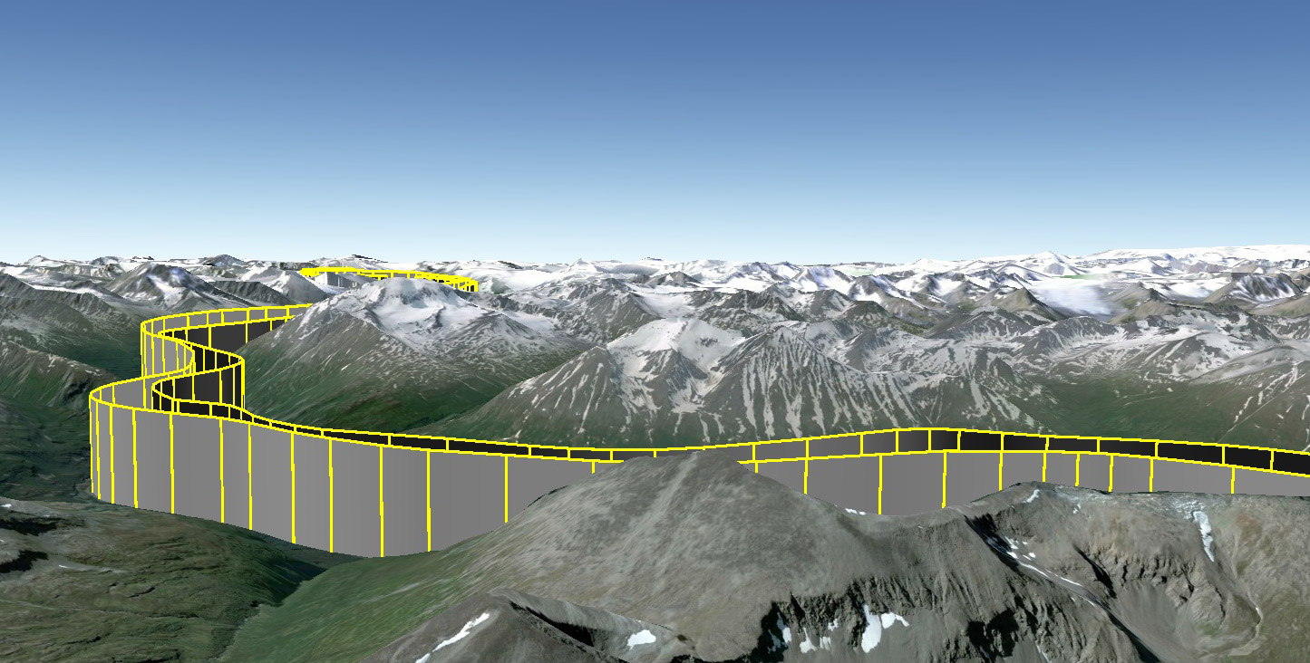
Earlier this month we got a few contracts from the Alaska Department of Transportation, following up on the success of our Dalton Highway project, this time not to help with disaster mitigation but with normal engineering and construction purposes. It costs a lot of money to send a survey crew out to figure out exactly where the roads are and plan for extensions, road work, redesigns, etc, plus it puts people right in the path of what I find the scariest thing on the planet — a human being behind the wheel of a car. So the general idea is that by using our super-accurate orthomosaics and DEMs, DOT can ‘virtually’ survey the roads at about the same accuracy without having to leave the office. These projects are the first shake-down tests of that process.
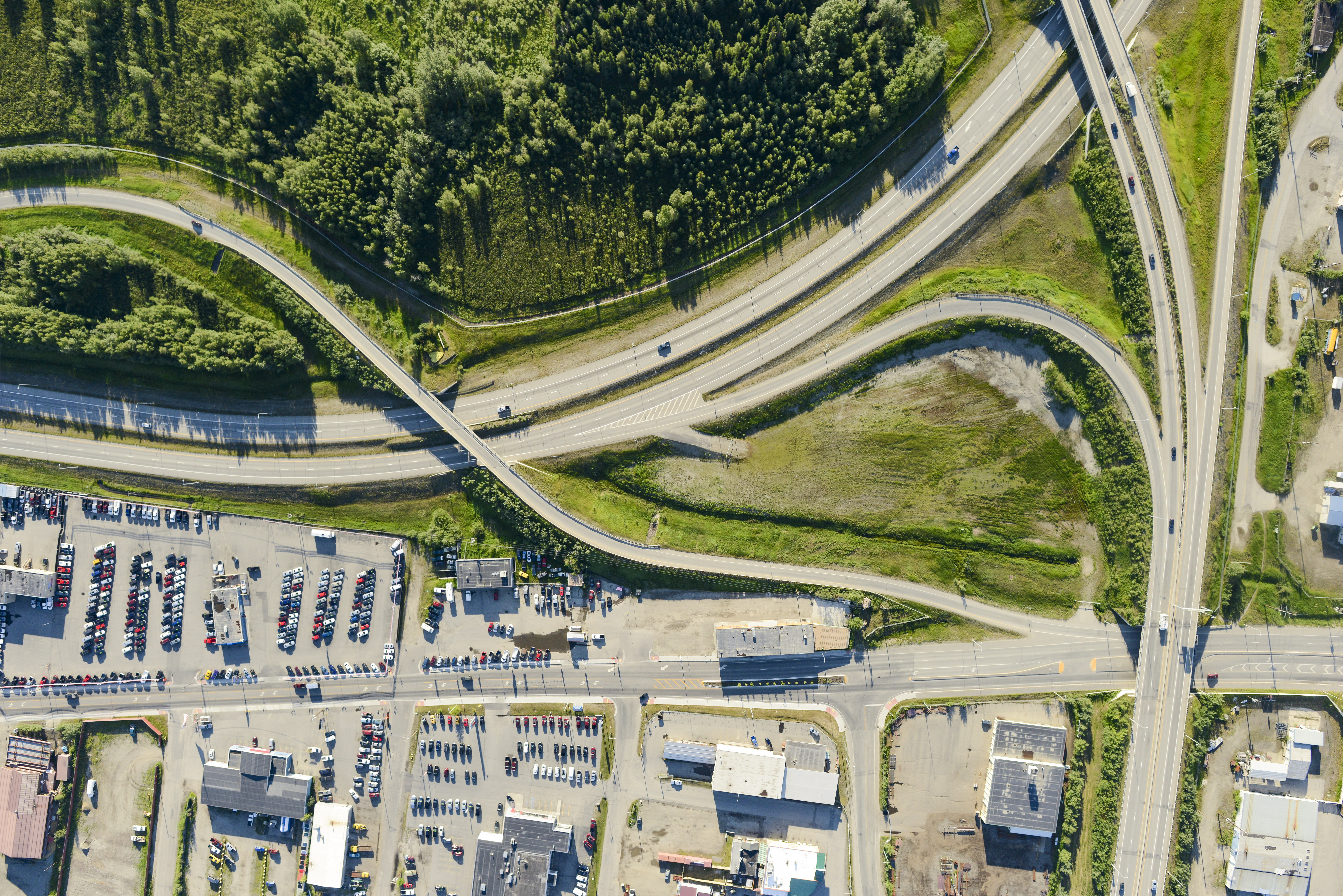
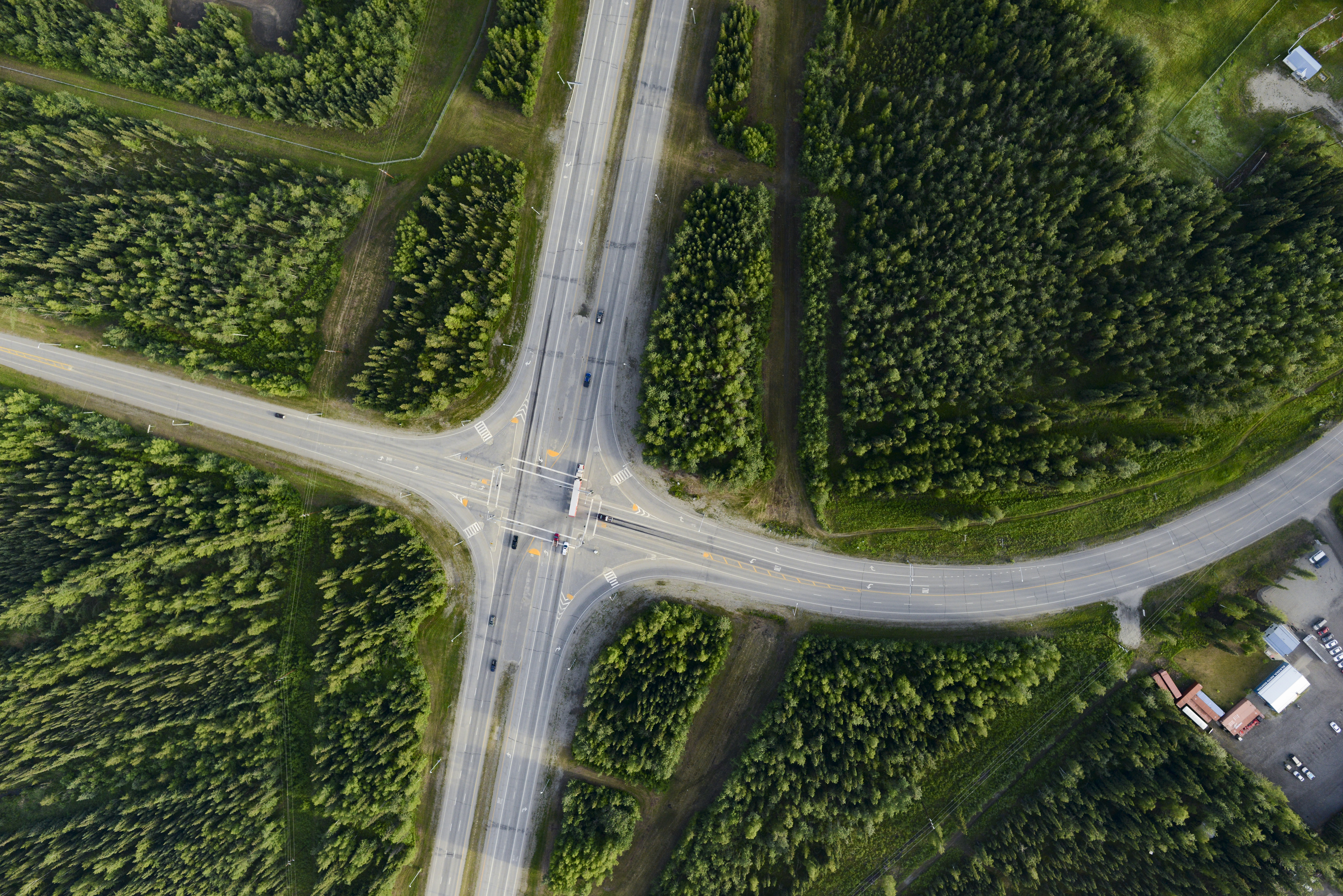
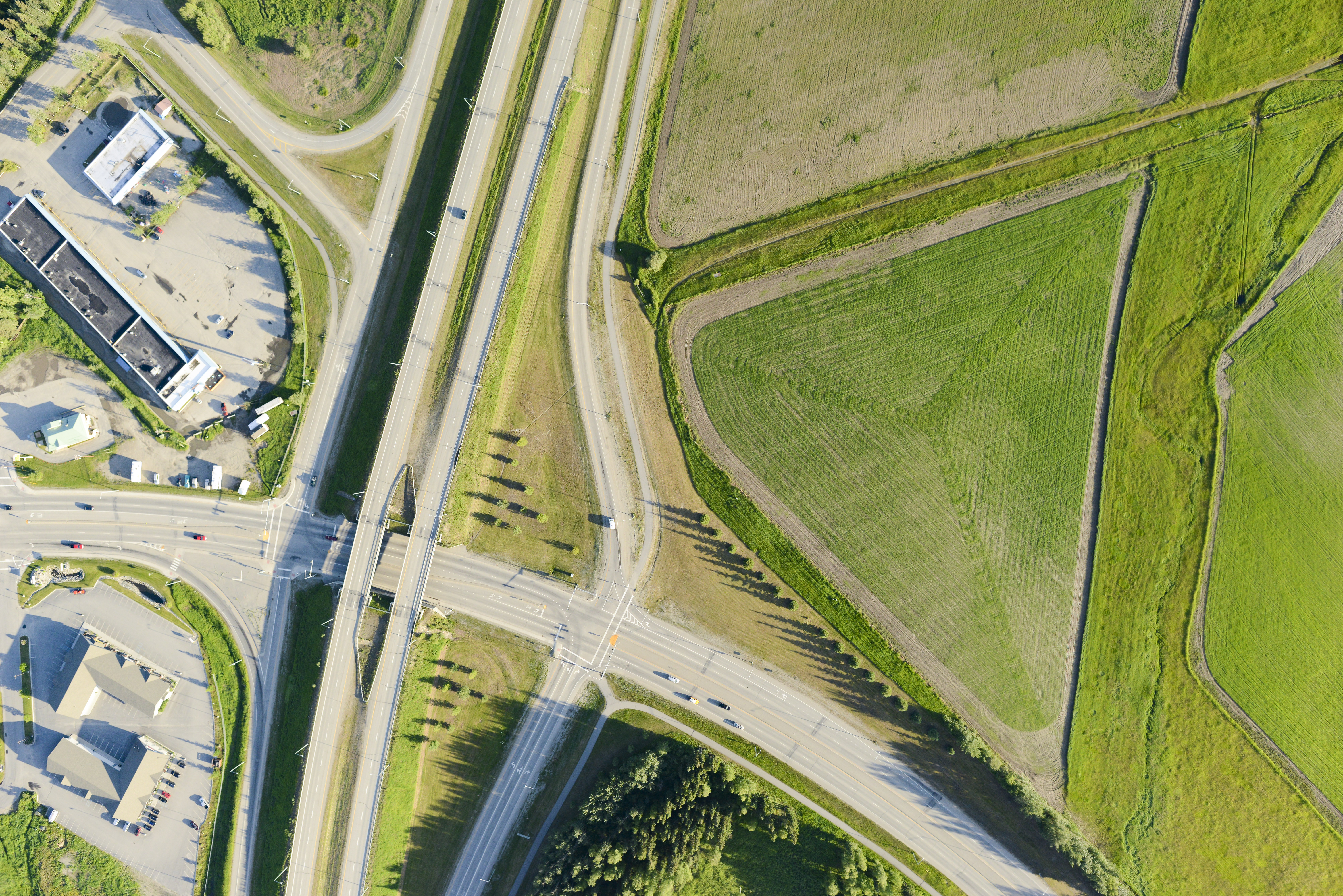
One contract was for a bunch of road work in the Fairbanks area. One of the challenges here was that several of these roads were adjacent to Fairbanks International Airport’s final approach paths, so air traffic and air traffic controllers were not going to be happy about me flying back and forth right there at pattern altitude. I mitigated the problem by working at 6AM when traffic was low, and when winds are calm all landings and take-off occur in the other direction so as not to wake up the neighbors. Fortunately all worked well and there were no conflicts, except with a cloud layer that formed by 7AM and prevented me from getting the last site a bit further from town. But the data look great with resolution in the 6-10 cm range, and I’m excited to see how they will get used.
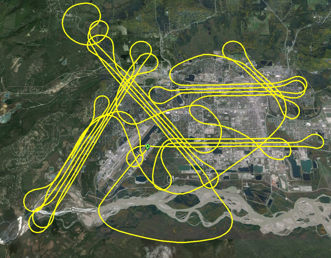
The Fairbanks road projects put me in the flight paths or patterns for four different popular airports in Fairbanks. Definitely not a job for drones…
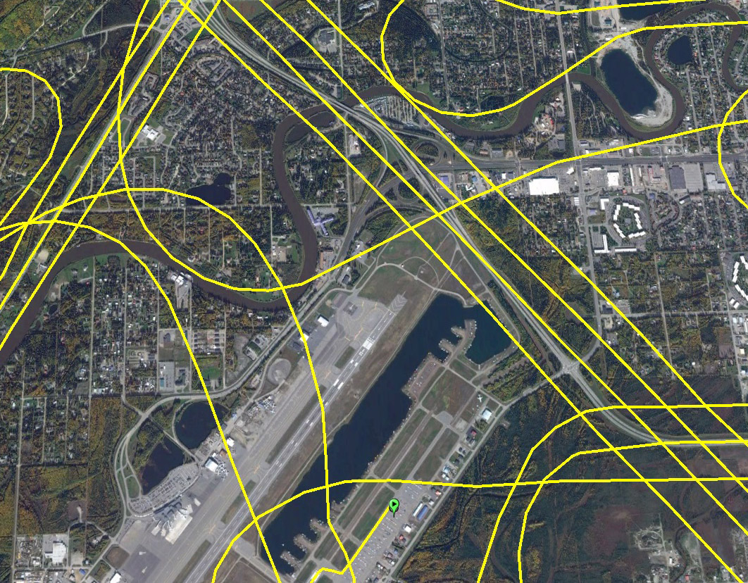
The Mitchell Expressway runs right past the north end of Fairbanks International and is a popular navigational aid when landing. Fortunately early in the morning if winds are calm and traffic is light, landings and take-offs occur in the other direction.
Chena Marina. I landed there afterwards and cleaned my plugs.
The second contract was for about 30 miles of road that is about 300 miles away, near Valdez. I’d never flown to Valdez before, though I had often thought of it to see (or lose in) their annual STOL competition. Here the major challenge is not really distance, but needing perfect weather across two mountain ranges and three climatic zone. Fortunately the good weather that allowed me to finish up the Denali project on Wednesday held out for yesterday too, so once again at 5:30 AM I was heading south, though southeast rather than southwest this time.
There was not a cloud in the sky the entire day. Winds were light, turbulence nil. Well, almost nil. As fate would have it, the military was having a giant exercise this week and clamping down on the huge areas of military airspace so they could have drone wars etc and this road goes straight through all that, and I can speak from experience that flying through the wake of a KC-135 is not a pleasant experience. In any case, they apparently dont wake up until 9AM and then they take a 2 hour lunch break at 1PM, so I timed my flight to try to sneak there and back in those windows, which mostly worked.
Getting up close and personal with the other side of the Alaska Range today.
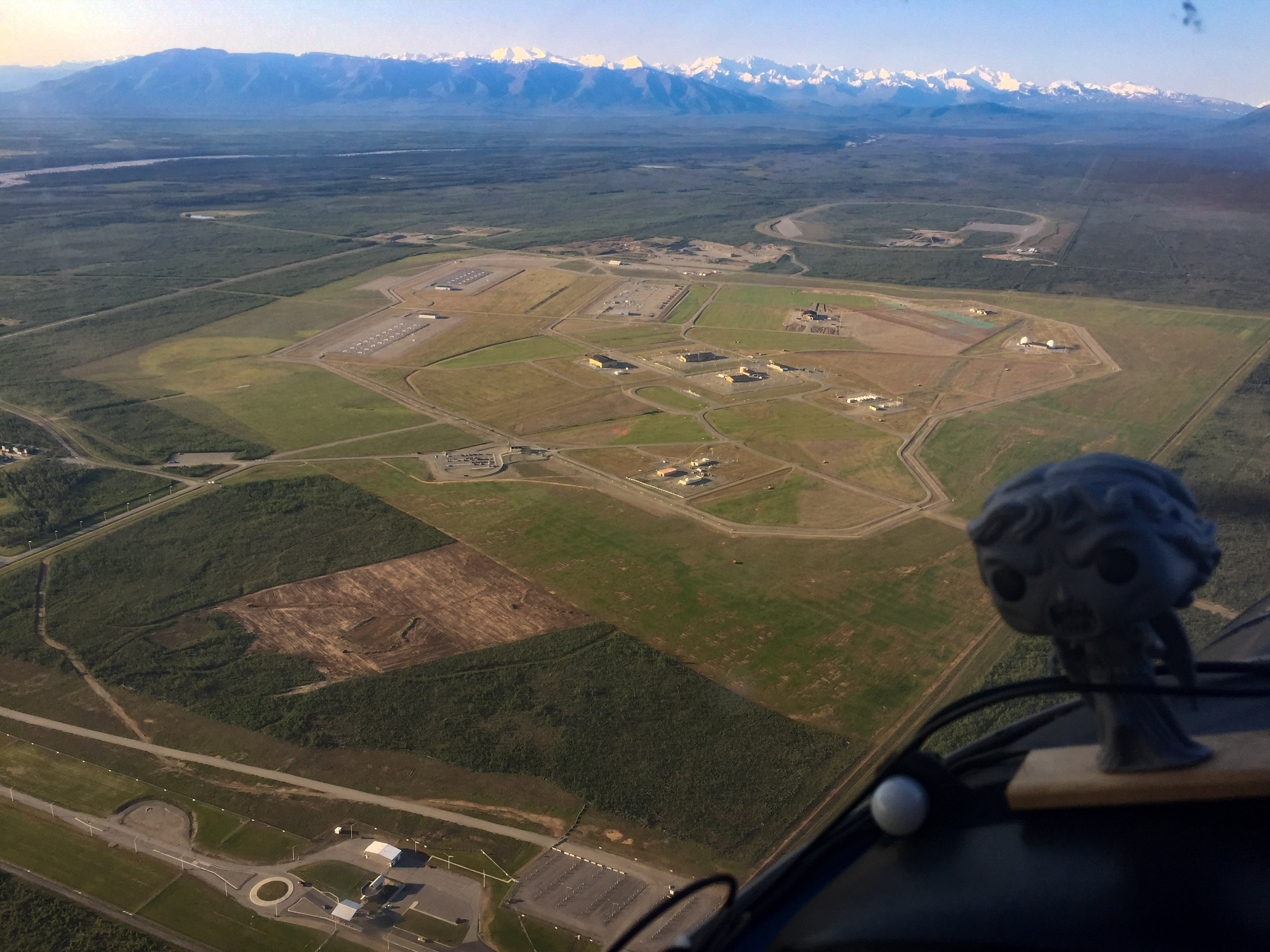
Underground missile silos near Delta. Weeping Angel advised not mapping them.
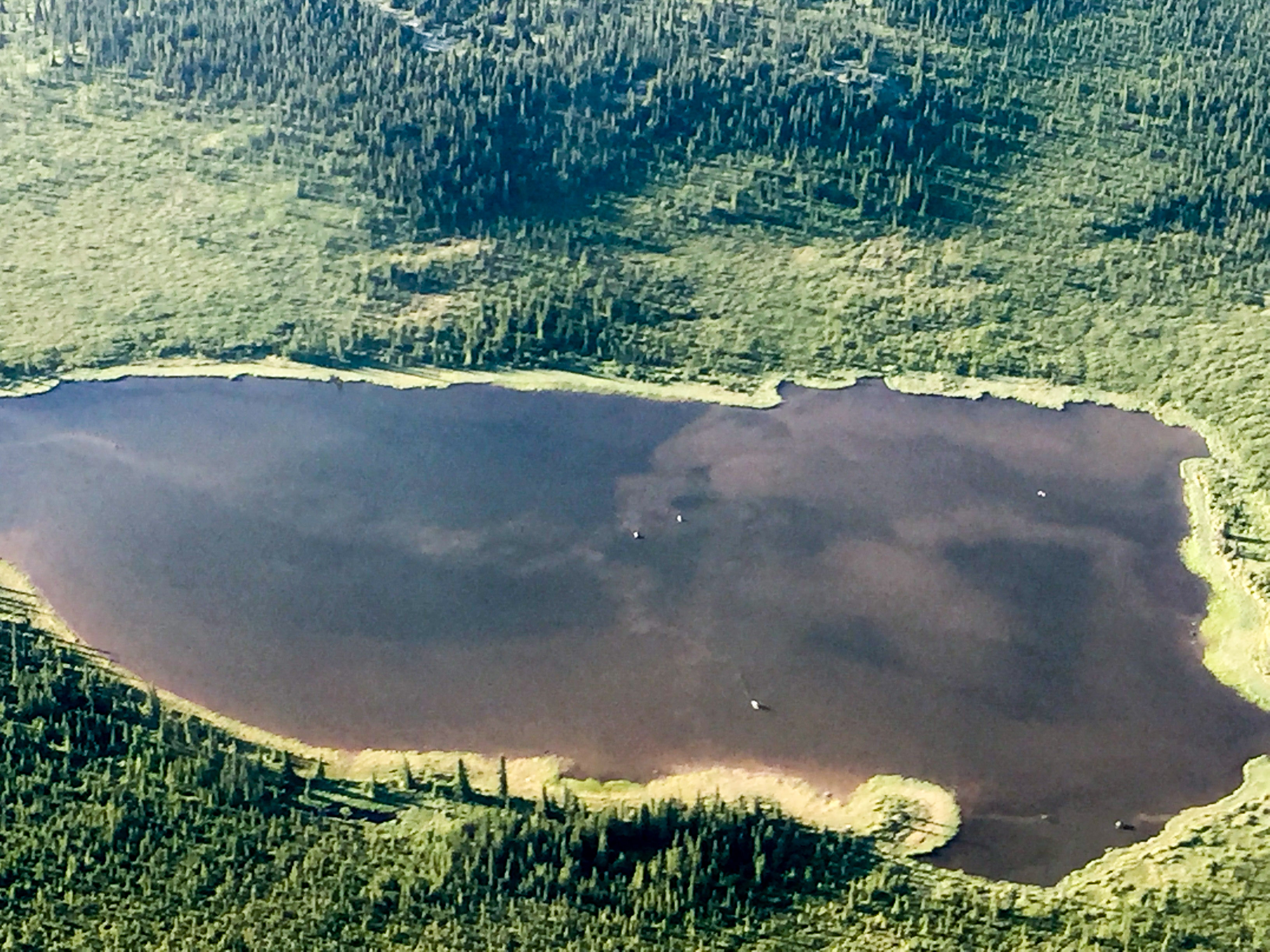
Moose, avoiding mosquitos. You can see their trails of turbulence in the water.
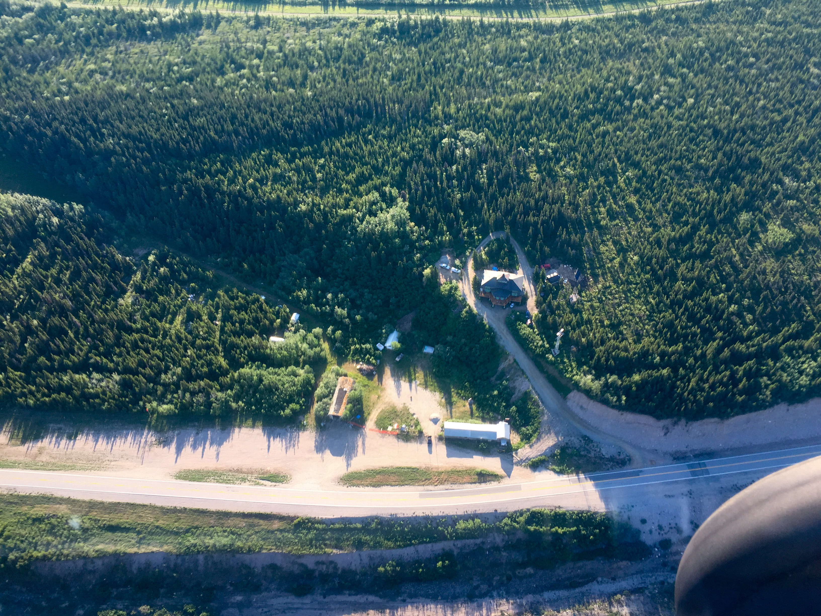
The Lodge at Black Rapids and its runway. I spent a lot of time on that runway, and was minutes away from buying the place once, just before the current owners did.
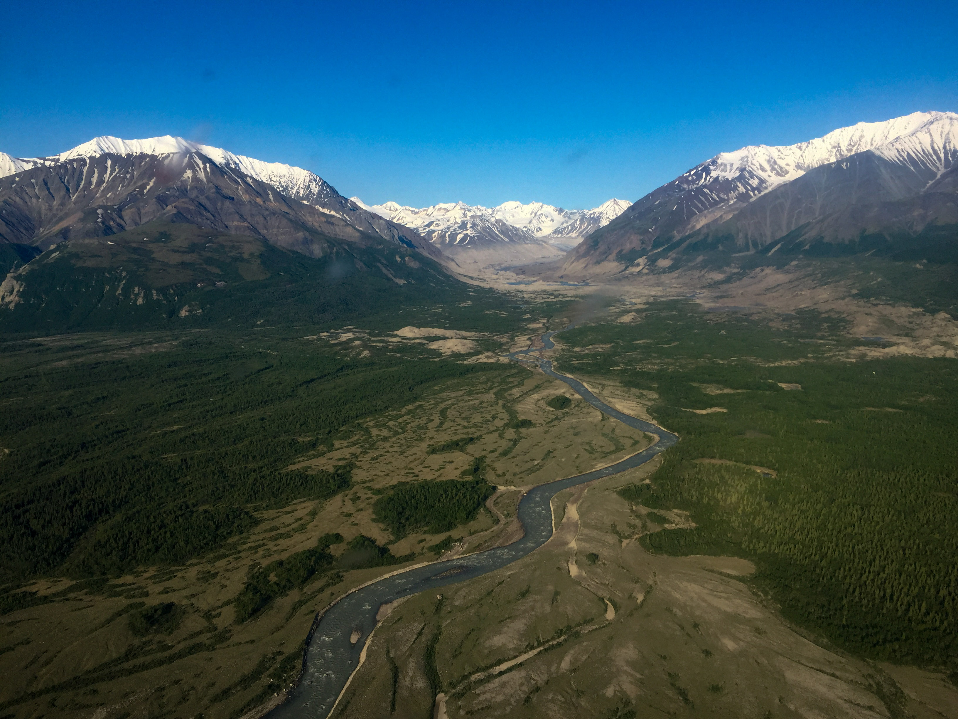
I spent months and months and months of my youth living way up inside that valley.
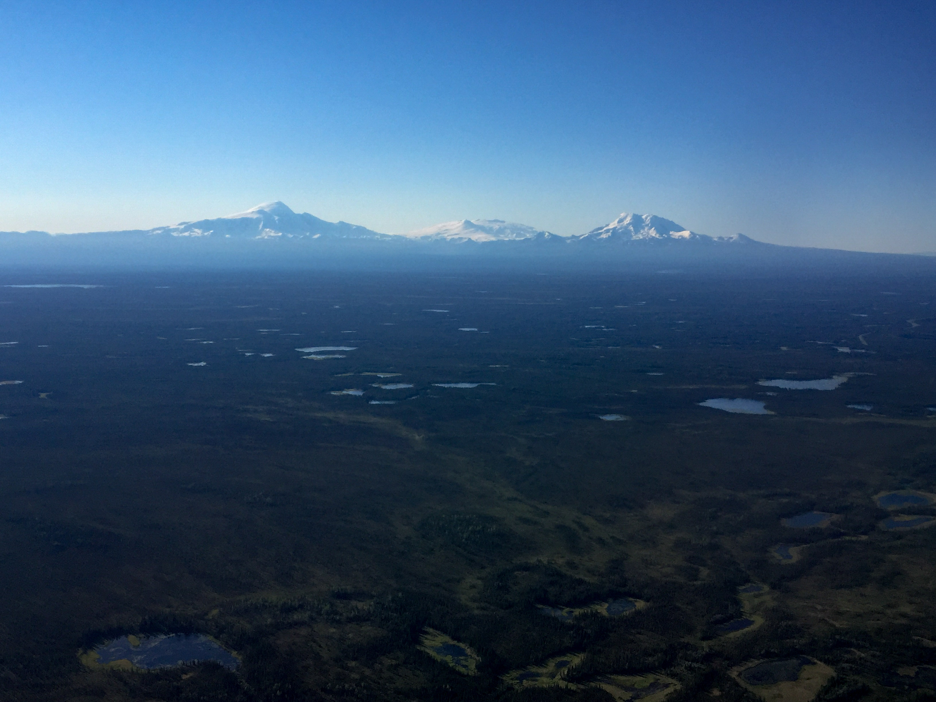
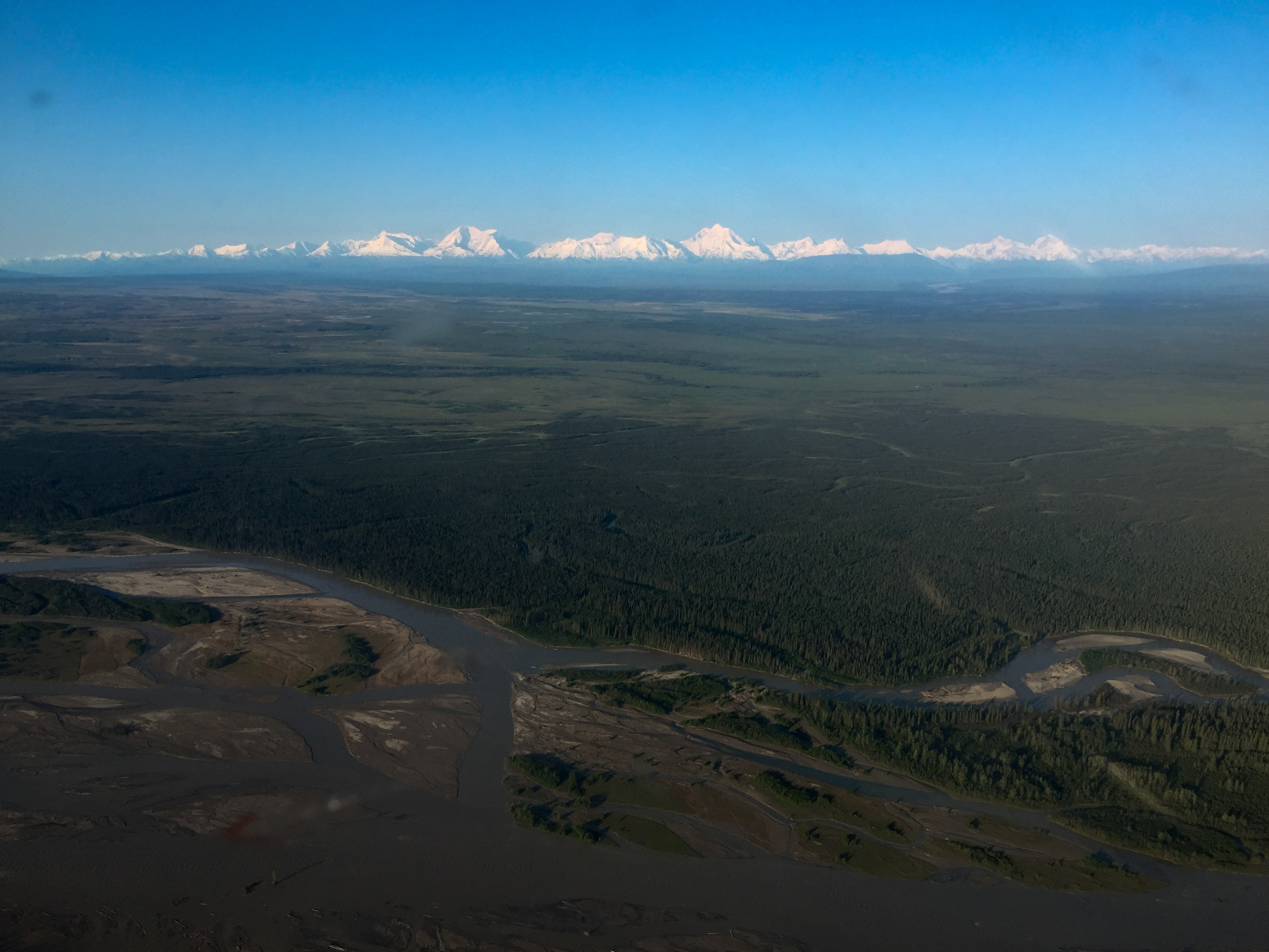
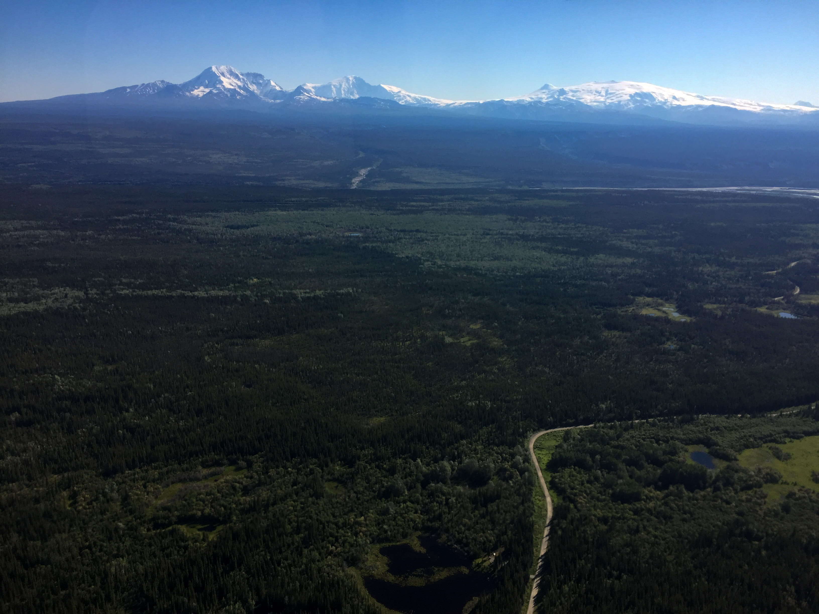
Once through the Alaska Range, I was treated to brilliant views of the volcanoes in the St Elias range.
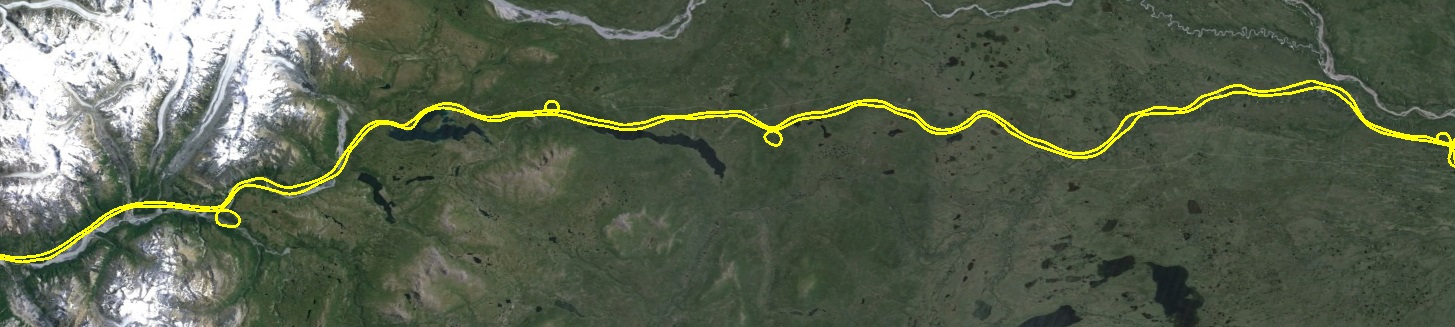
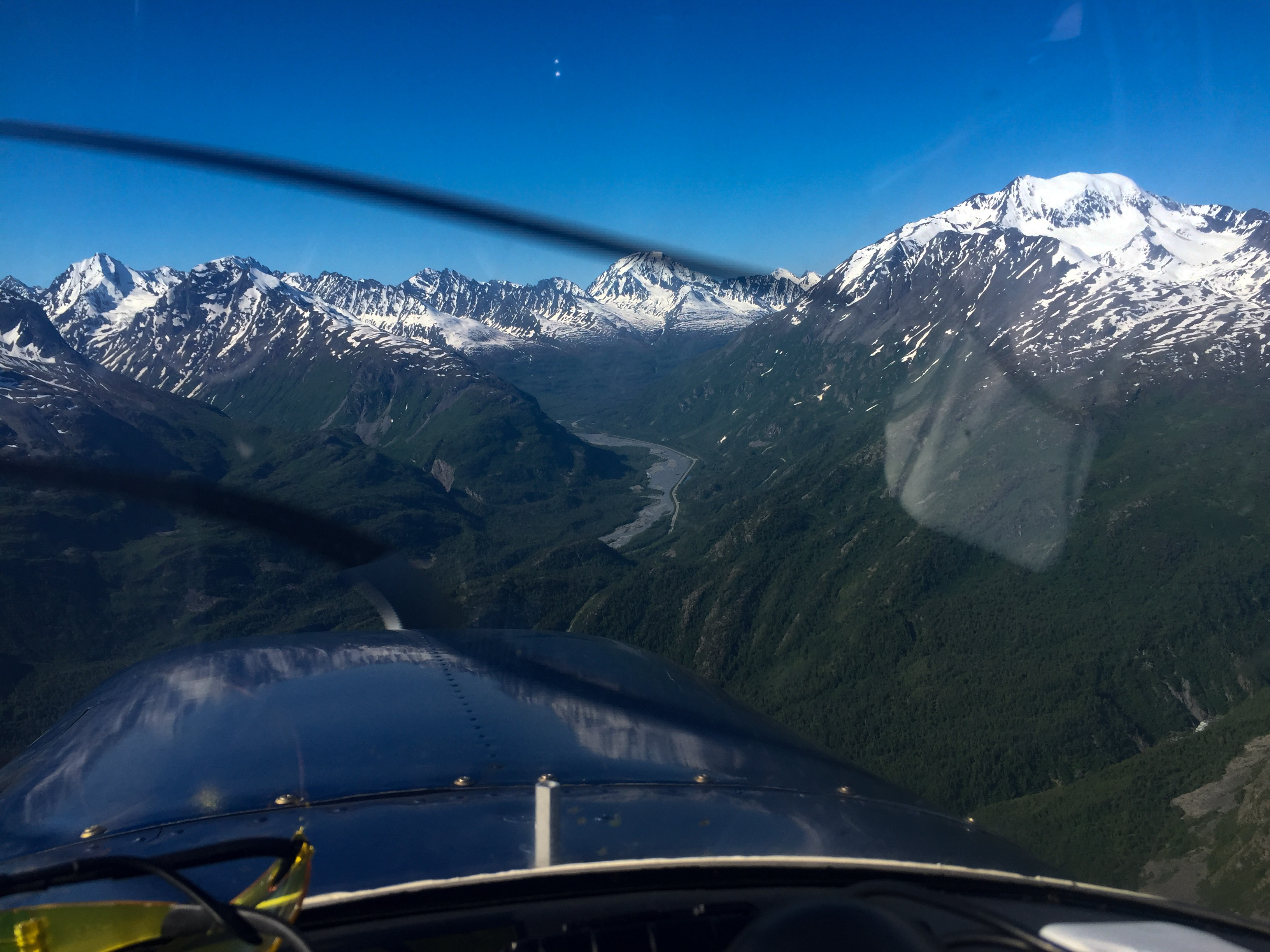
Another complication was that there was a second small area I was supposed to map that was added informally as an afterthought, but I couldnt remember where along the road it was. So I decided to map the whole thing. As fate would have it, to get through all this military airspace without getting runover they create a corridor that follows the road and extends up to 1500′ above it, so since I was there anyway I decided to map the entire road so as not to miss that site. I had often thought of doing this anyway, as I have the idea that I can use fodar to measure deformation caused by plate tectonics. There is a huge fault that runs across this road in the mountains that slipped 4 meters or so about 15 years ago, and that strain is building up about 5 cm a year I think. So if I were to map this road again in a few years, I should not only see road decay but also a bend occurring from the fault out to the far field interior of the plates. So we’ll have to see. In any case, I flew the 350 miles to Valdez about 1000 feet above the road, looking up at some of the most impressive mountains in North America, again.
The result will be a map of the entire Richardson Highway (well, at least from Eilson (where they wouldnt let me fly due to maneuvres) to Thompson Pass) at 6-10 cm resolution, suitable for engineering and change detection purposes. I dont know much about the state of road corridor mapping yet, but I doubt anyone has done anything like this before along a road this large in Alaska, so probably another first for Fairbanks Fodar.
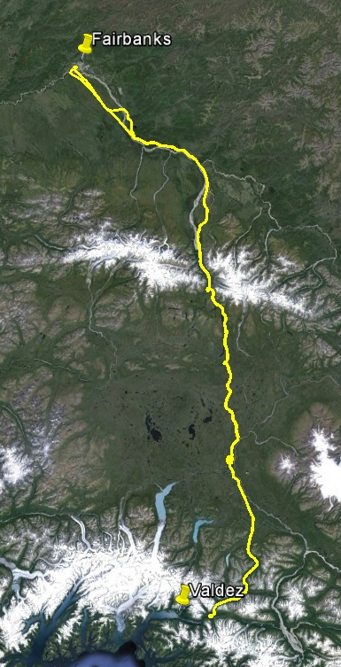
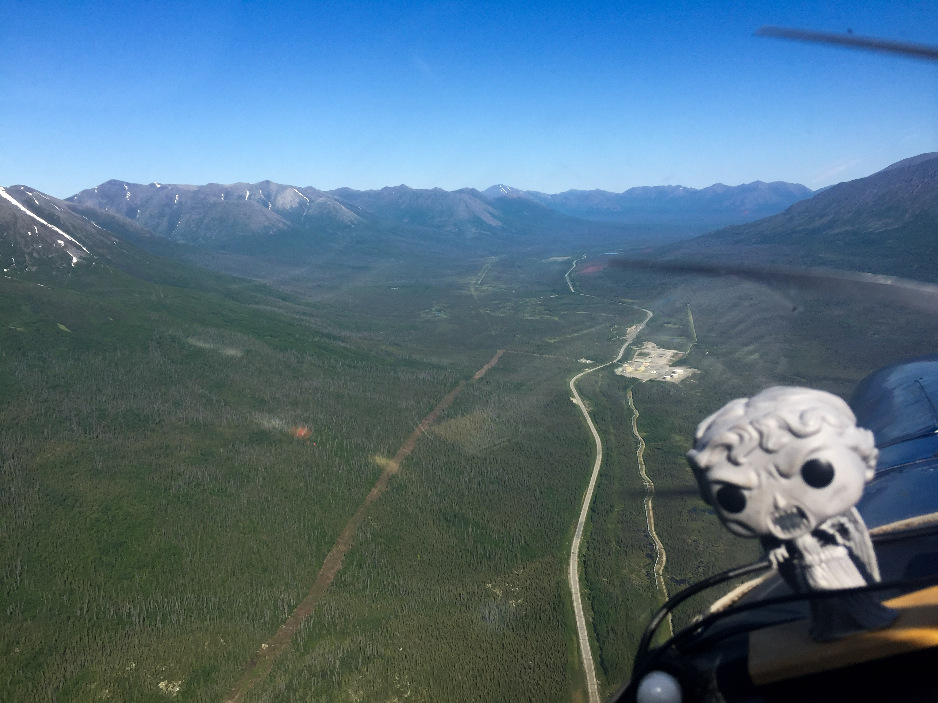
About 350 miles of road between Fairbanks and Valdez.
Mapping it is more like driving than flying, just at 100 mph and without as many idiots trying to kill me.
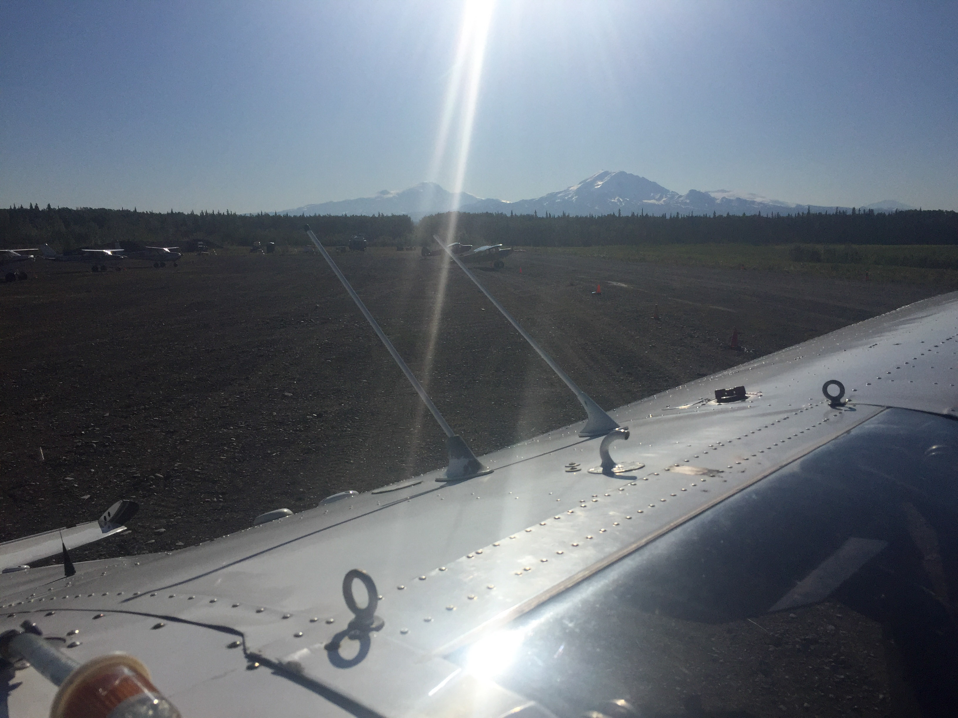
I stopped in Gulkana to refuel. As fate would have it, their fuel pump broke that morning so they had none to offer. But I come prepared…
Gulkana Airport sits at base of the volcanoes. I landed there three times– twice for fuel and once because I closed the door on the strap of my ipad after fueling and couldnt free it in the air.
The other side of the volcanoes — I was a long way from home…
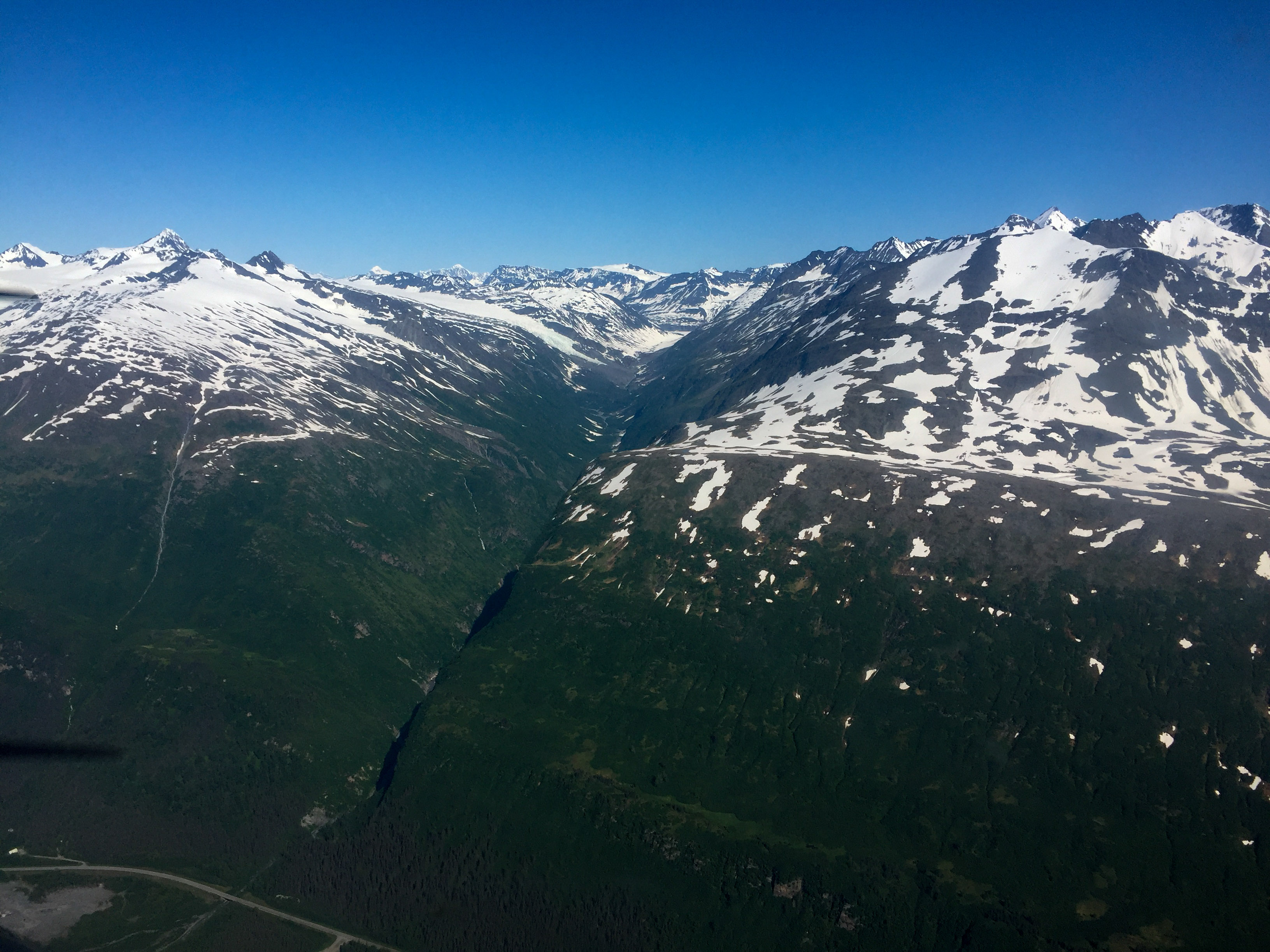
The actual study area is inside this narrow valley, with the steepest mountains, leading to the most energetic storm area of the State. Even though it was dead calm and forecast to stay that way, it was still intimidating.
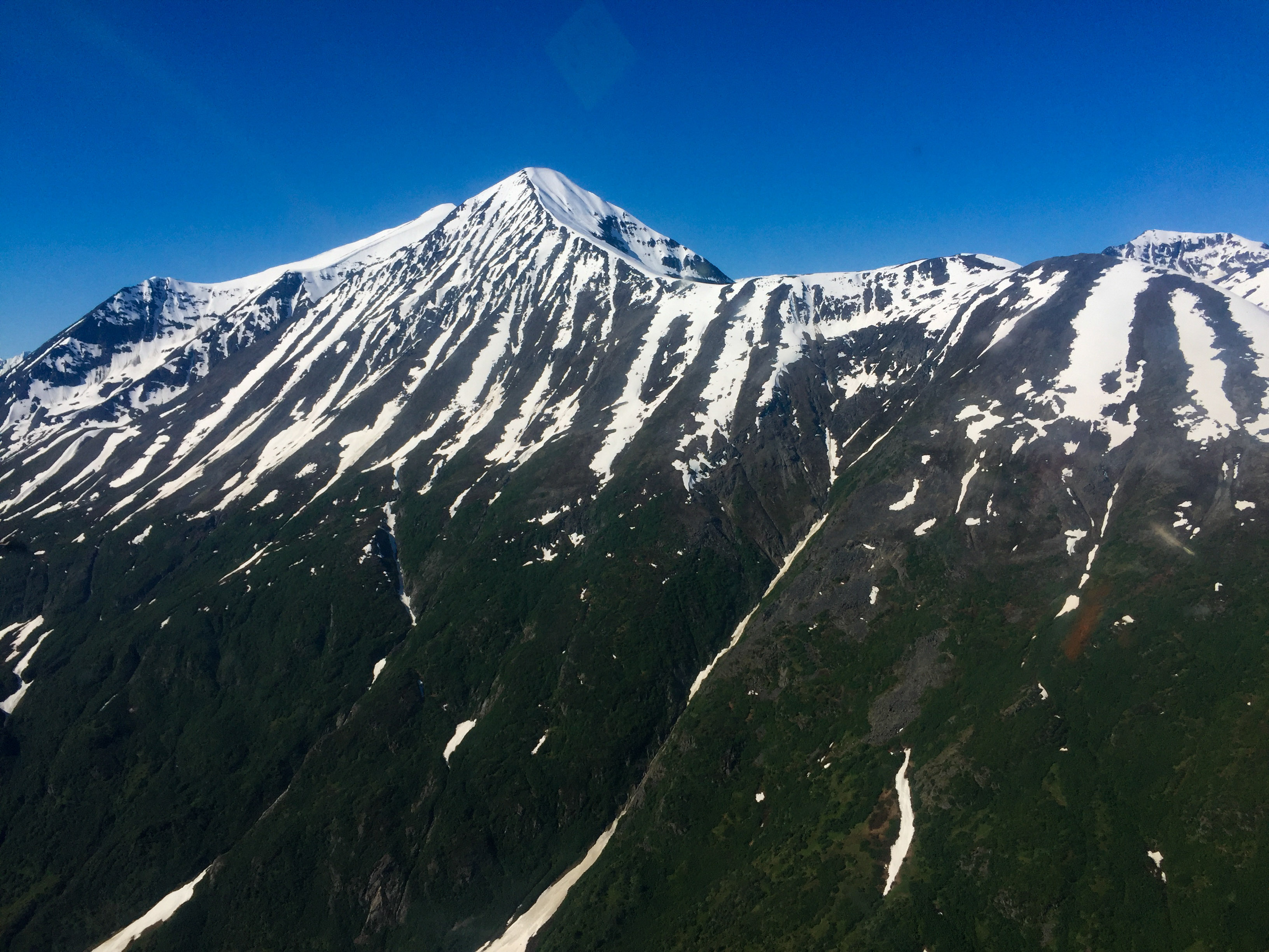
I prefer to look down on mountains, not up. But I’m getting used to it this month…
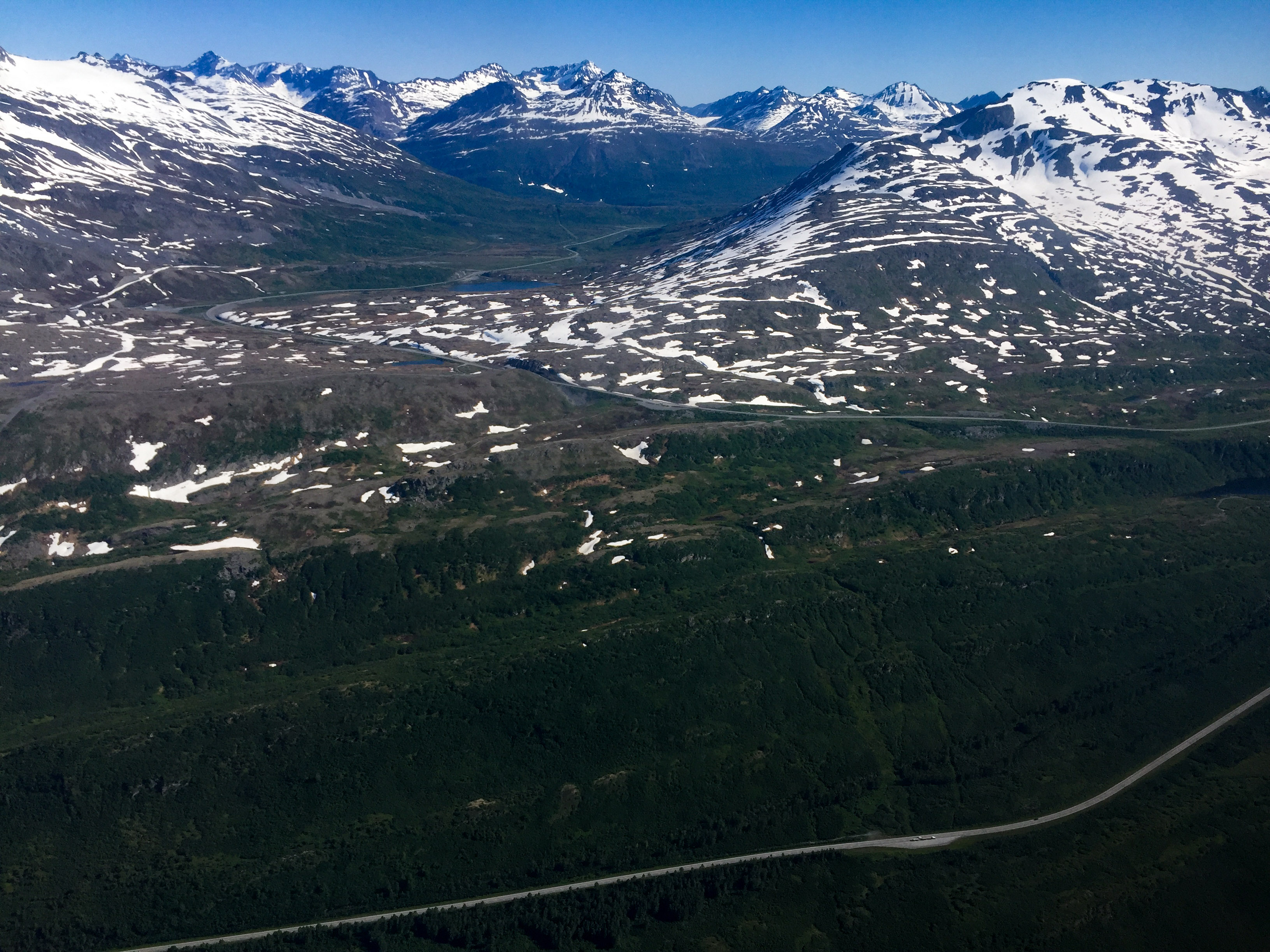
Through Thompson Pass and looking down towards Valdez. Given the fuel situation at Gulkana, I didnt go down there, not being sure whether they had fuel either.
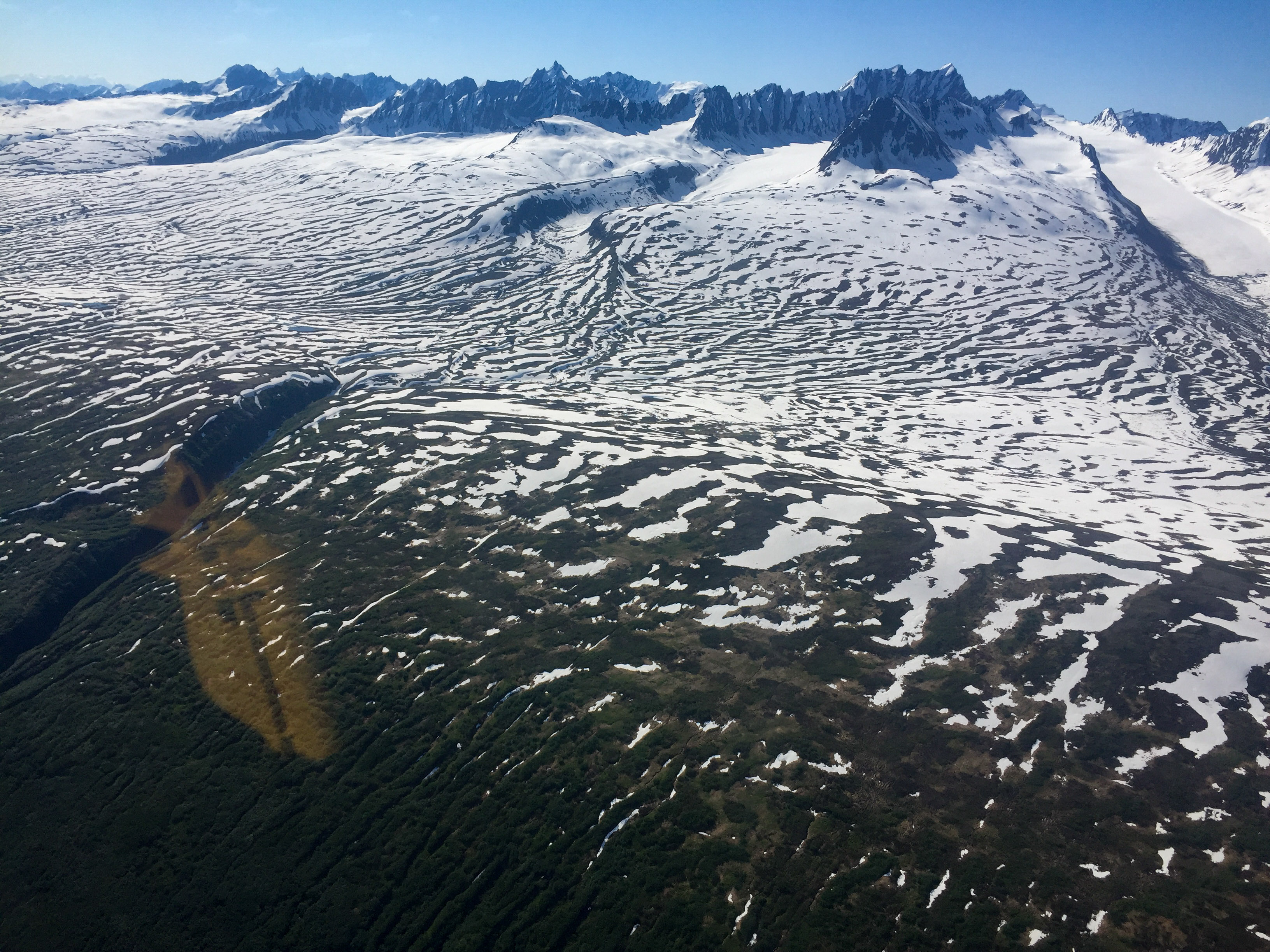
The other side of the valley towards Valdez. Lots of snow and ice.
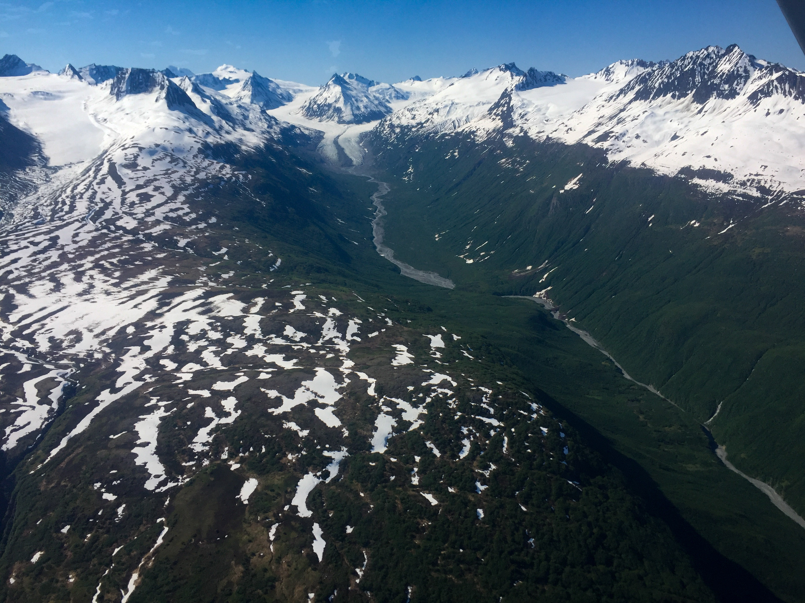
Looking back on Thompson Pass and the road I just mapped. The road then switch-backs down a steep valley wall to the coast.
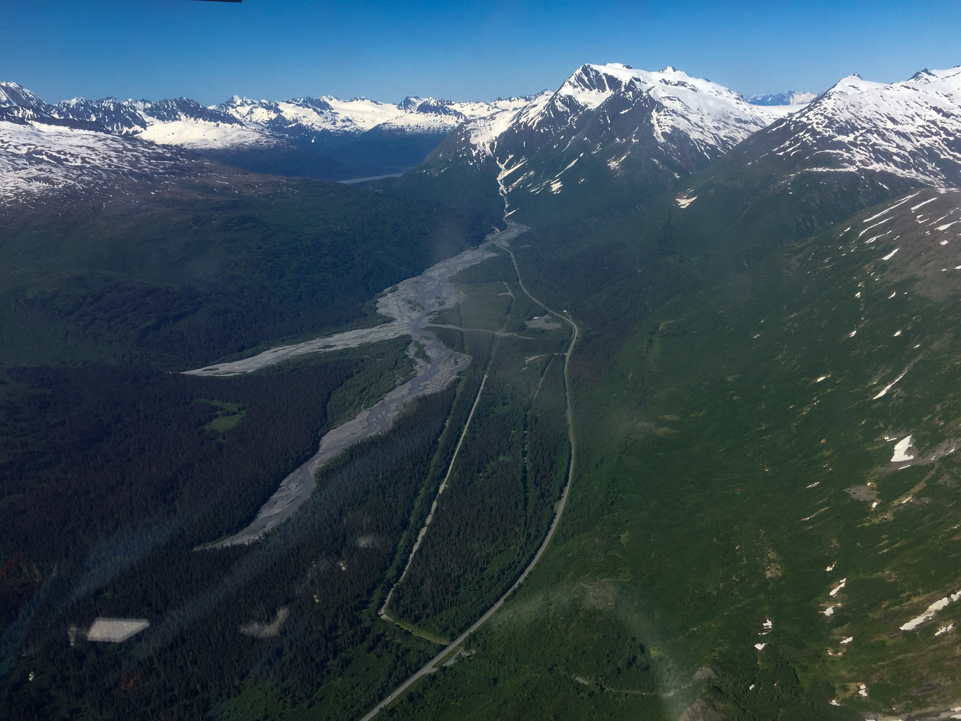
Another notch in the valley wall, with the road at bottom.
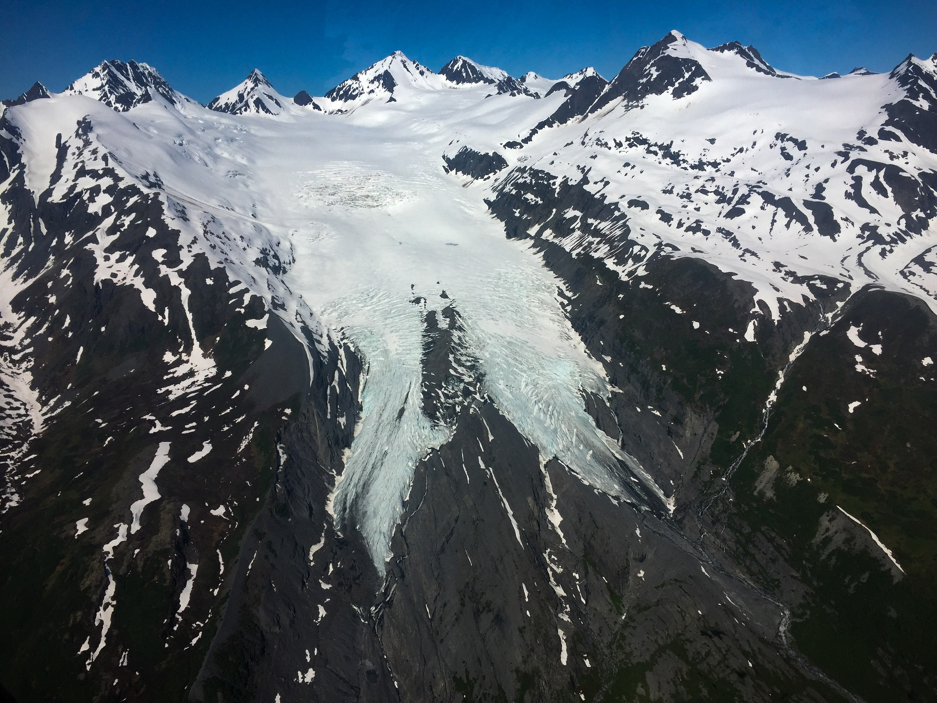
Worthington Glacier, and his dog spot.
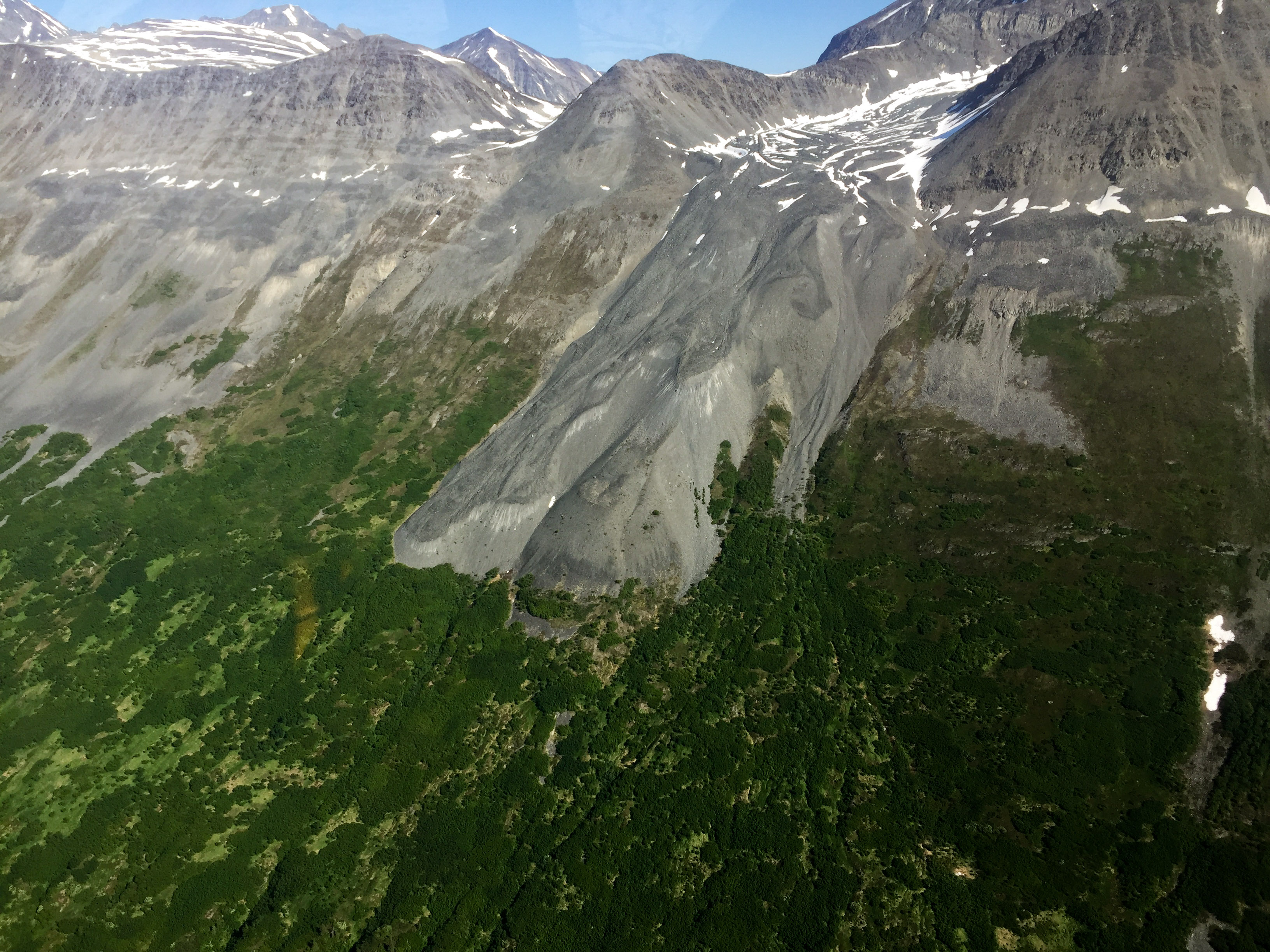
Random rock glacierish thingy. Trust me, I’m a scientist.
I was relieved to get out of the tight pass into this, much like I was relieved flying home from Bethel once when I broke out into a 1000′ overcast…
 It felt a lot lower than this looks, but I’m a chicken in the air…
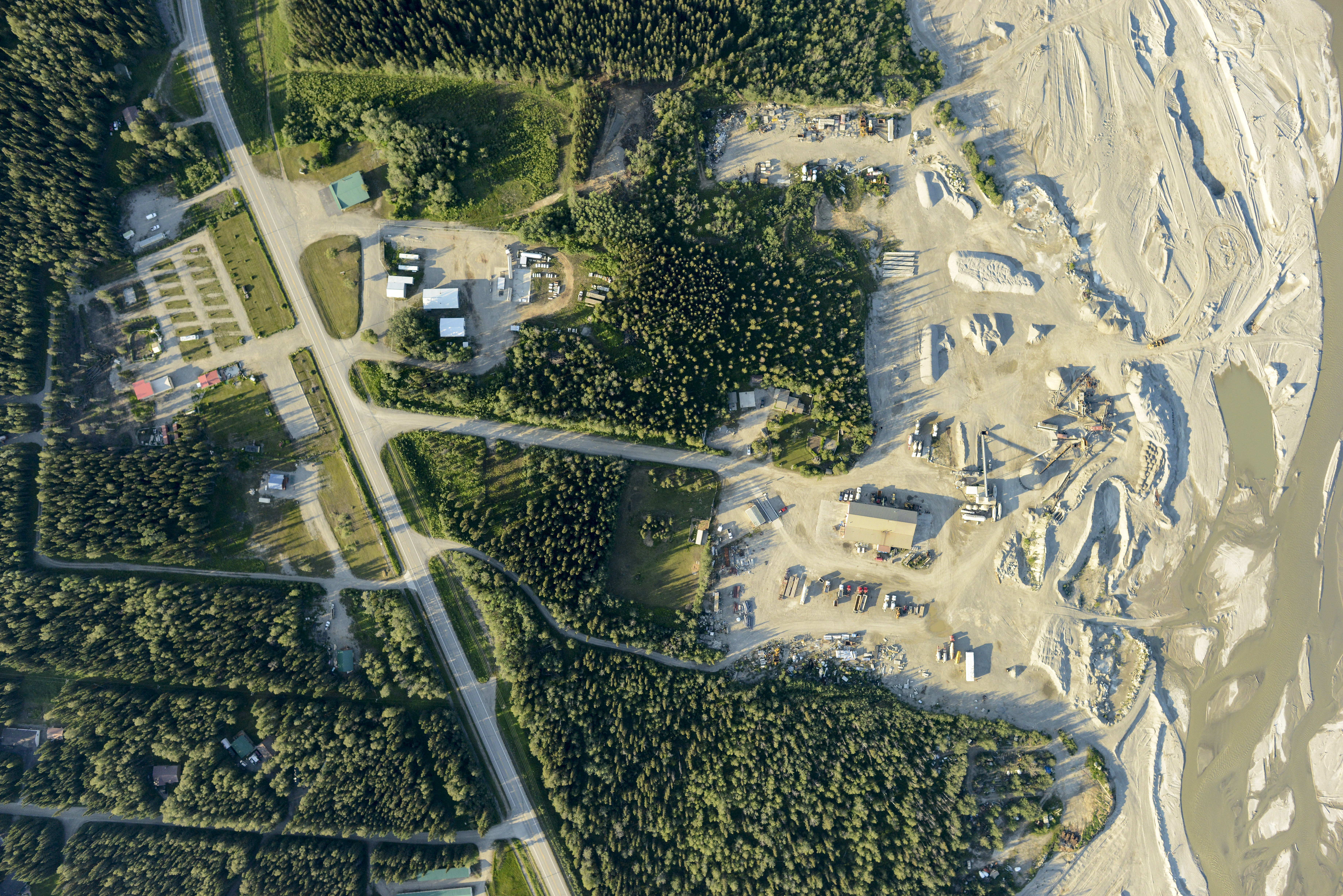
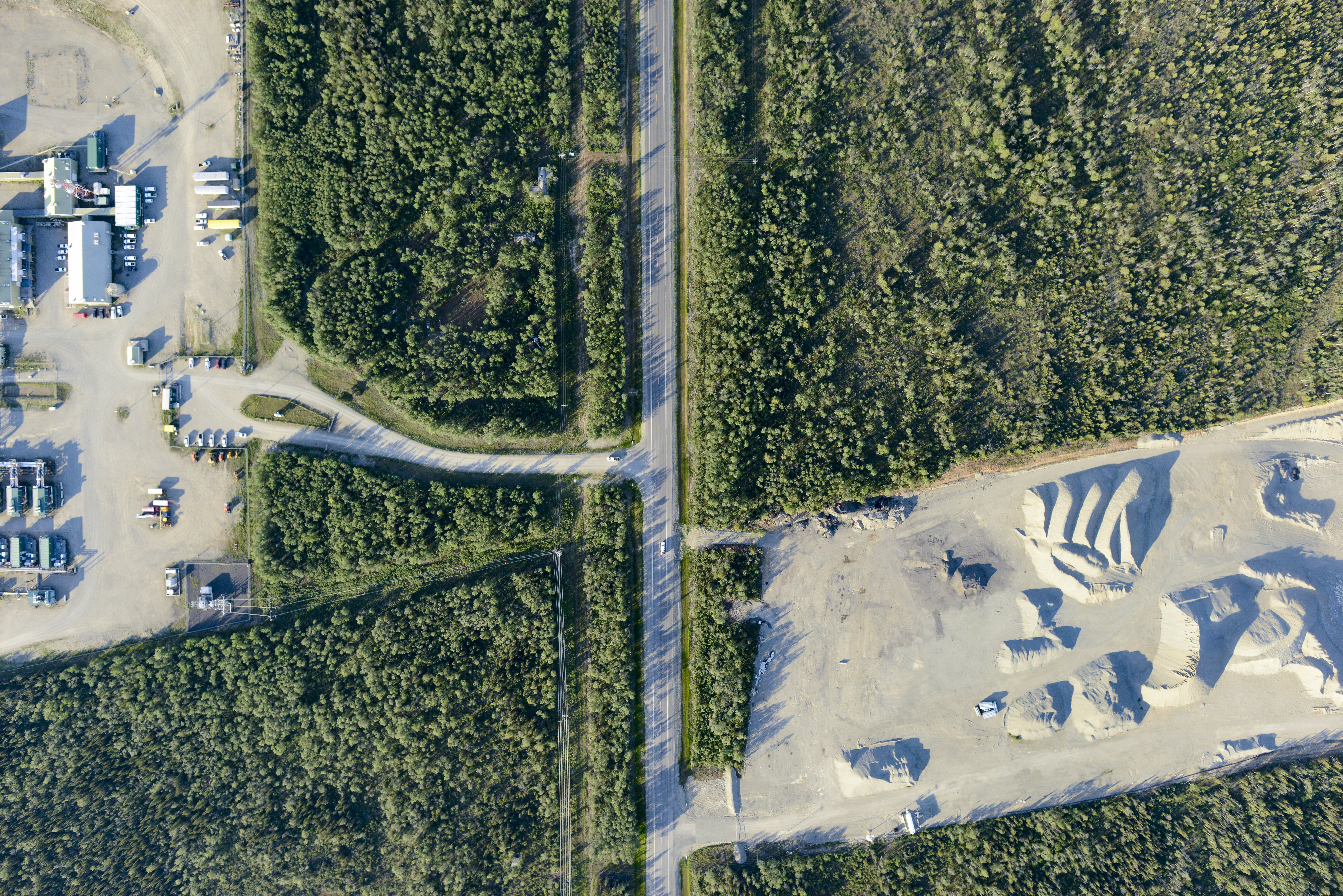
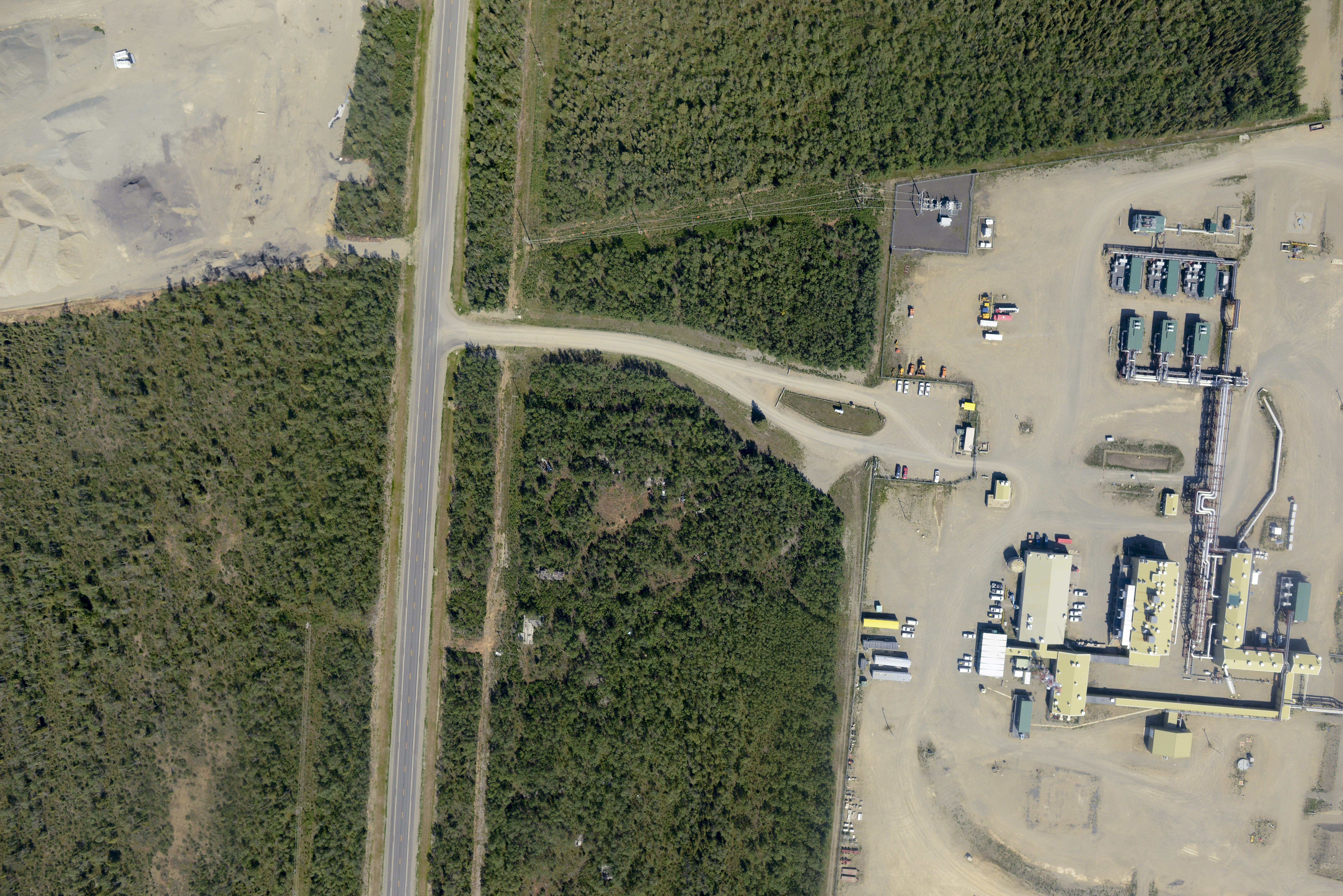
It takes a lot of materials and equipment to keep civilization on track, yards like these were everywhere.
Gravel stockpile volumes are easy for fodar to measure, more accurately than probably any other method.
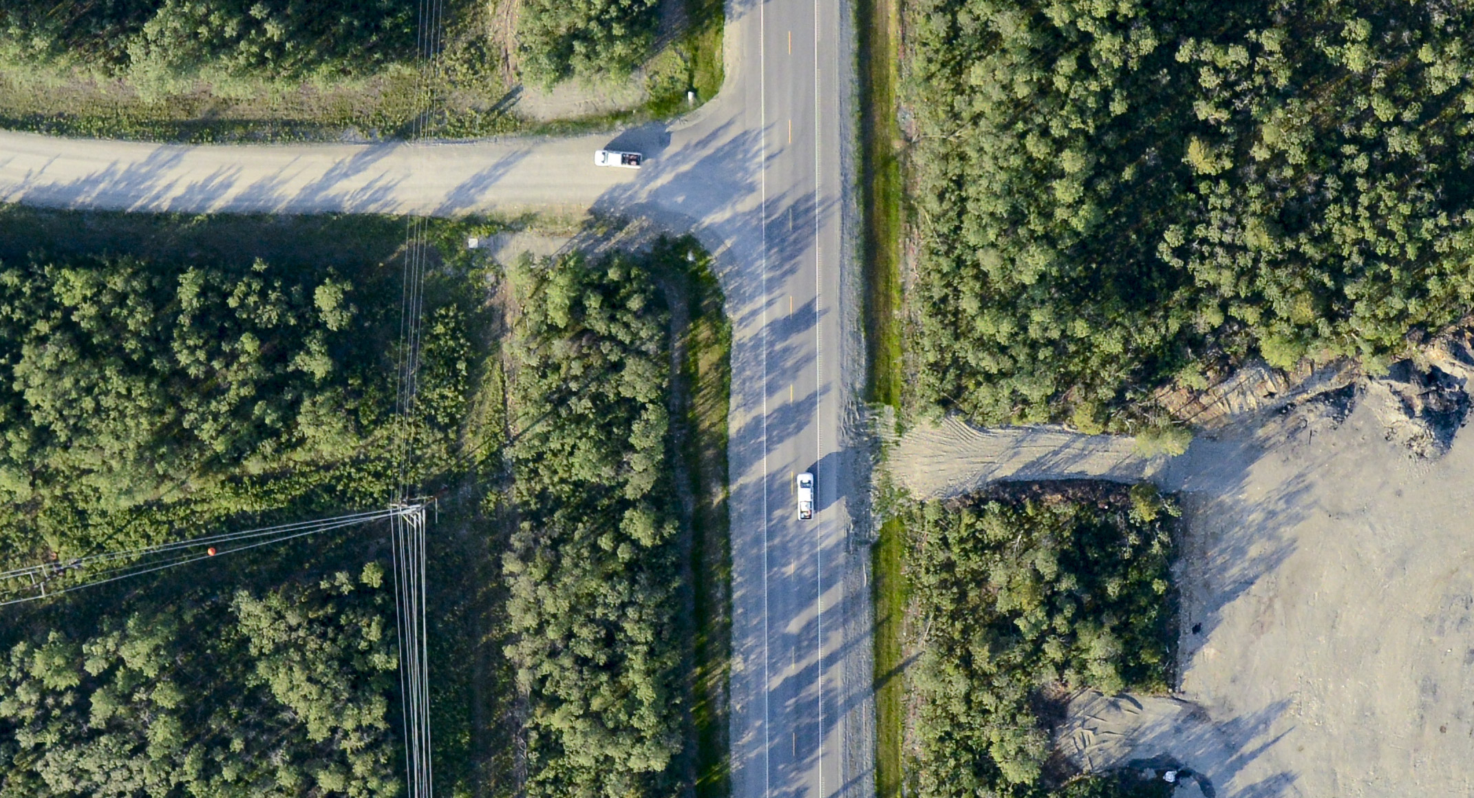
Here’s a 100% crop of the previous image. Note that even powerlines can be mapped. You can click on it to see it larger sized (though unfortunately not by much in this blog system).

Shrubbery growing in the floodplain, all kinds of science related to that.
There is a small strip at the top of the pass. I’d have to be pretty desperate to land there, but its nice to know its there.
The road, the pipeline and a river share the same narrow valley.
Lots of side streams to deal with everywhere.
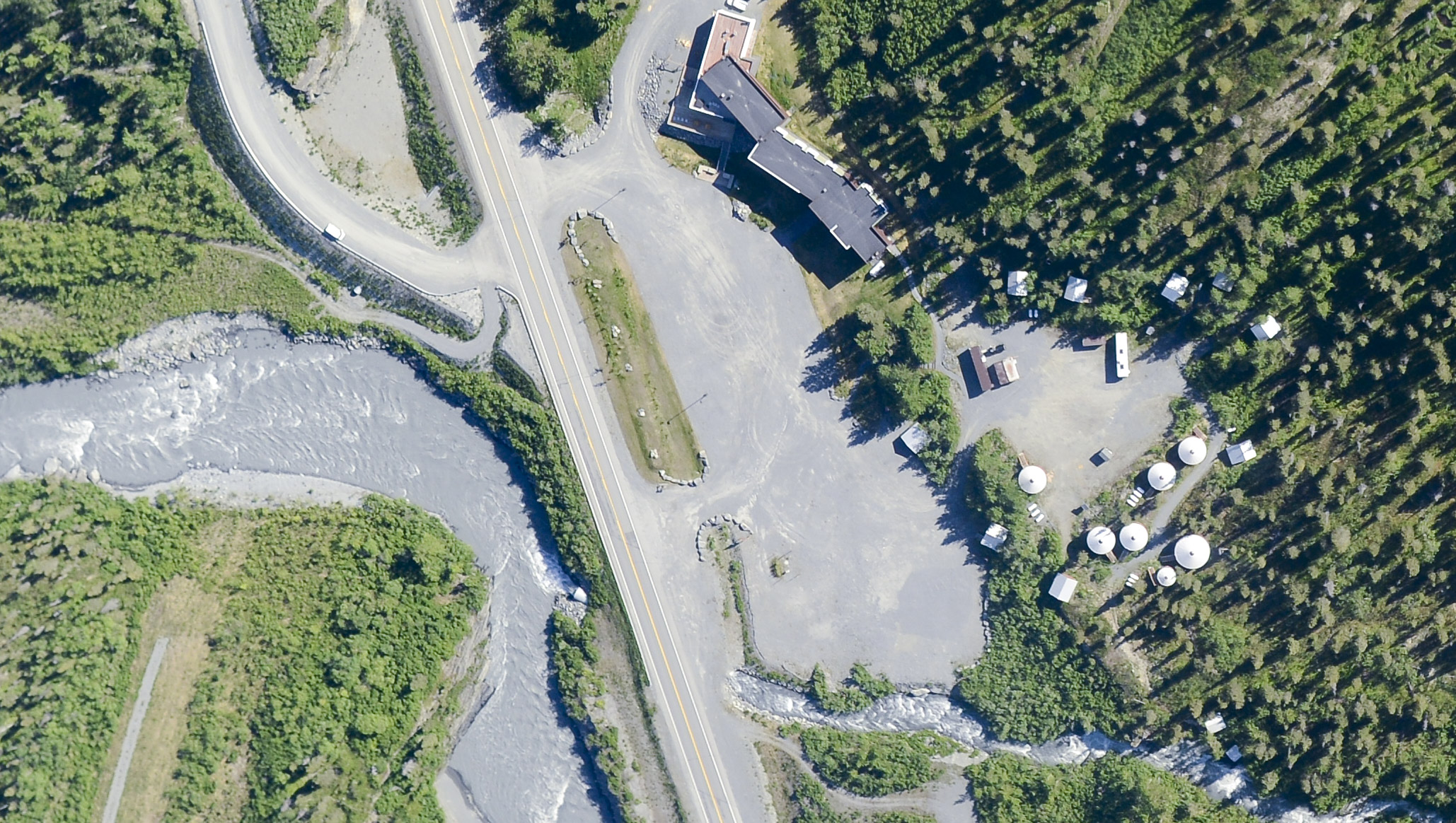
A crop of a little yurt village.
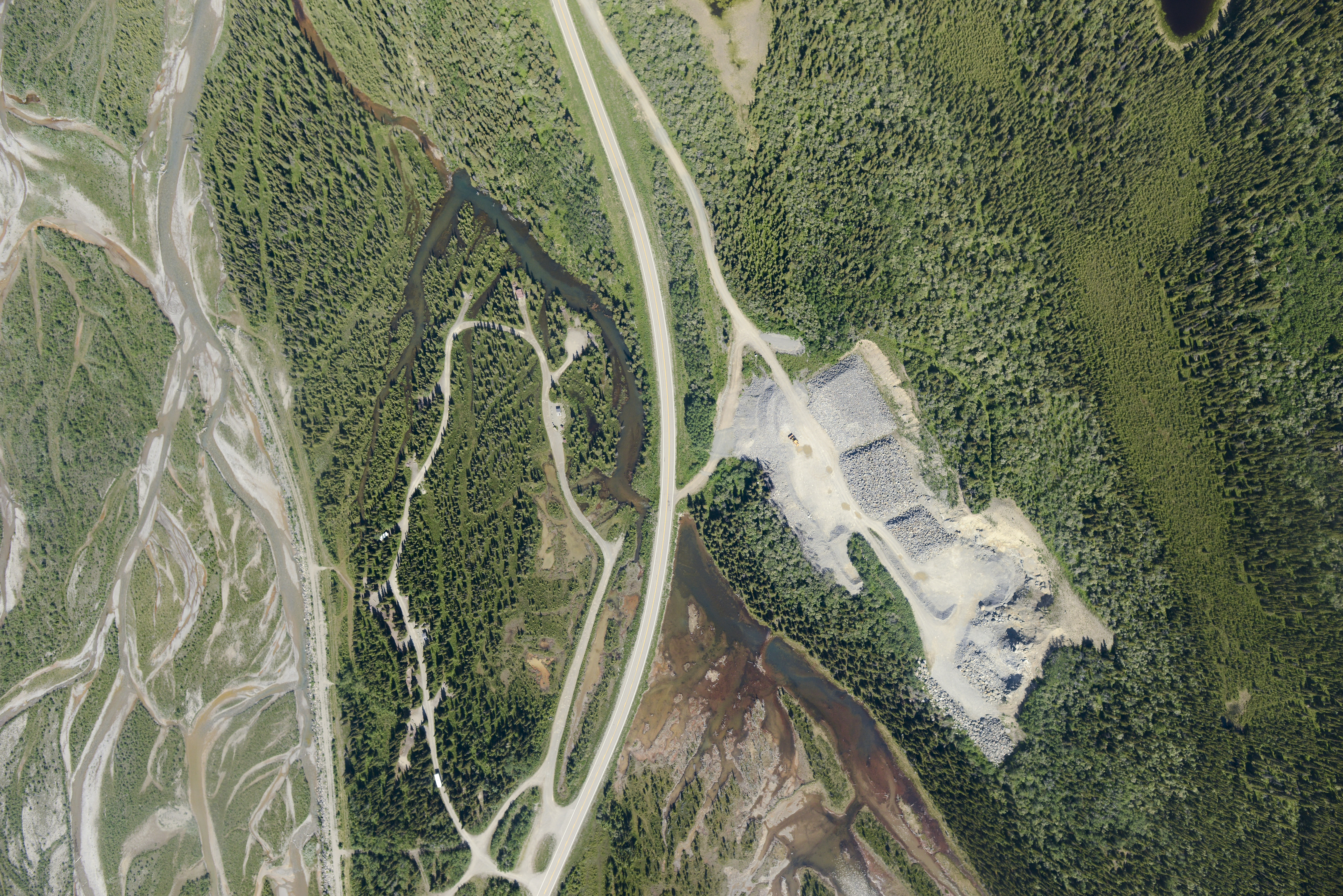
Gravel and rock stockpiles everywhere.
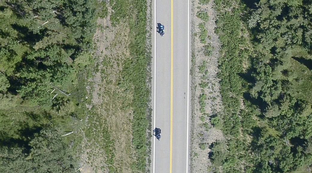
A crop, part of a motorcycle caravan.
Between my north slope sites and this project, I’ve now flown the entire pipeline and seen all the pump stations en route.
Valdez is actually closer to Fairbanks than my north slope sites, but it felt further as it was new to me. It also wasnt in a straight line, following the twists and turns of 350 miles of road. Twice. And home in time for lunch. I could map the entire pipeline corridor in an easy two day project with the right weather.