Denali Done!
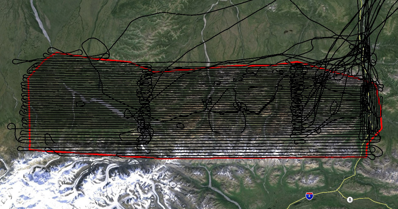
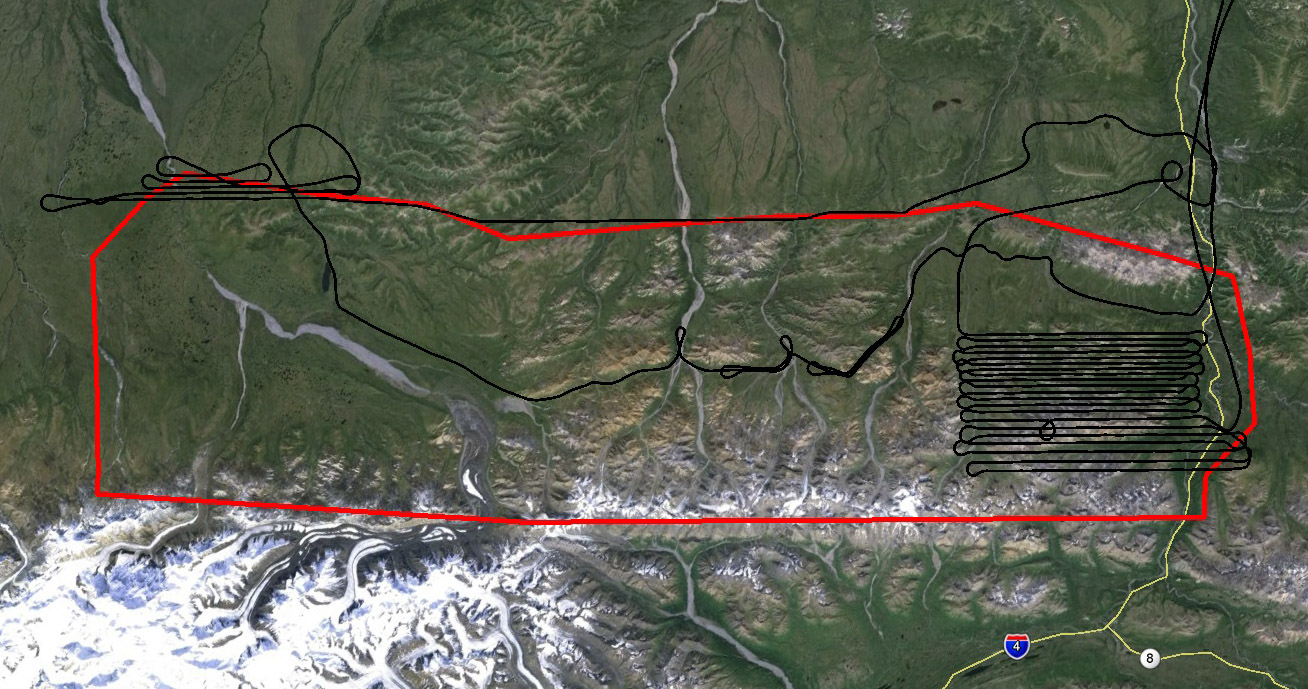
Today we completed acquisitions for the massive 5000 square kilometer Denali National Park project, and completed a bonus survey of the park road at higher resolution. You can catch up on the complete saga here.
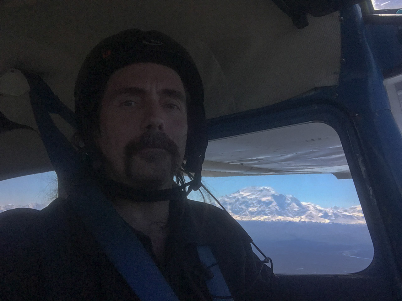
I woke up at 4AM to find nearly the entire interior in clear skies and reasonably calm winds — it looked like today could be the day! Seconds after launching at 5:30AM, it was a good omen to see The Big One shining brightly in the early morning sun along the extended centerline of the runway. The trip the park was smooth and soon I was at nearly 10,000′ mapping the last of the high lines, in the eastern block. The winds were light and from the north, so while there were some bumps, they were below the threshold where I get afraid to eat hard candy…
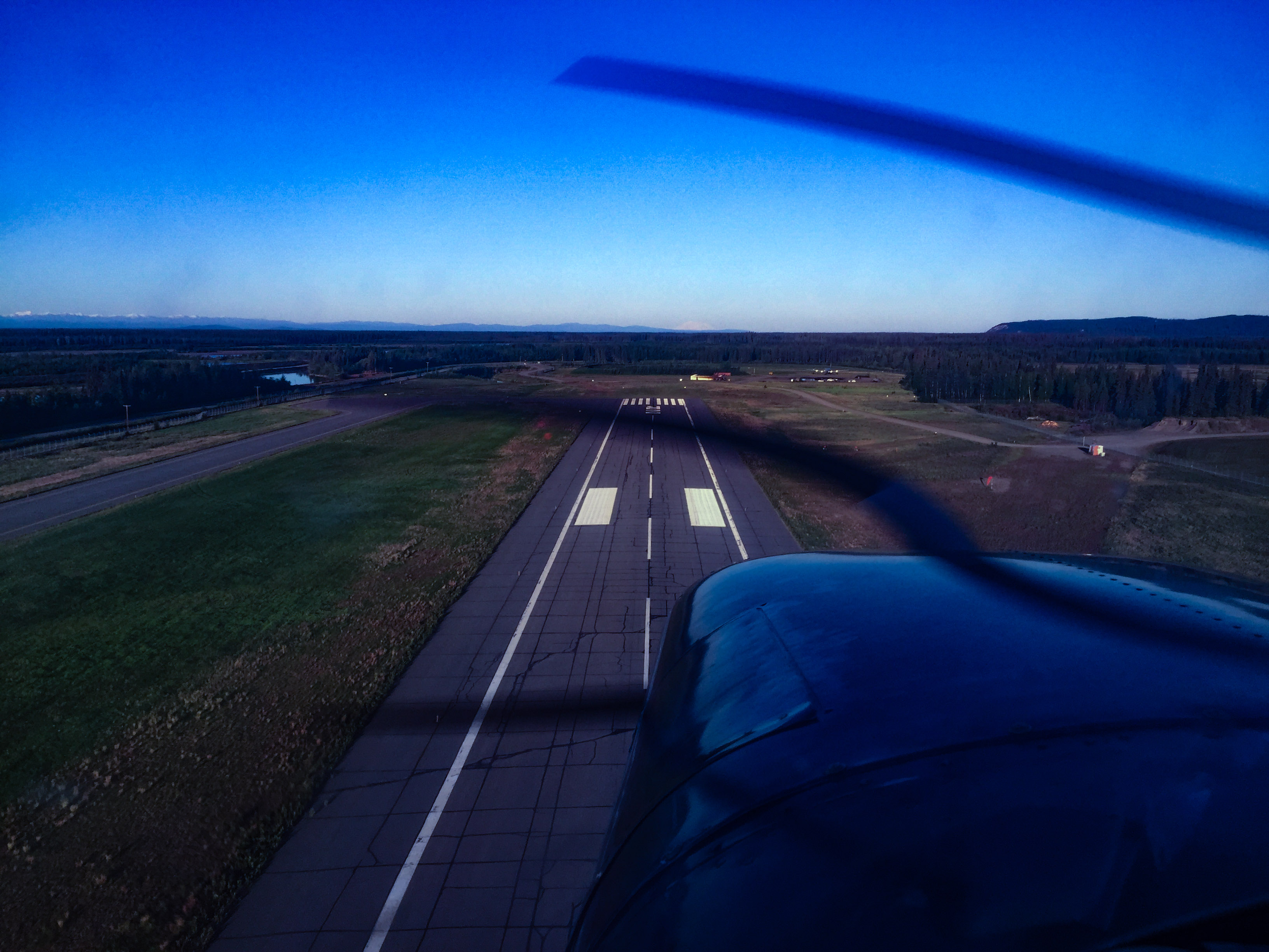
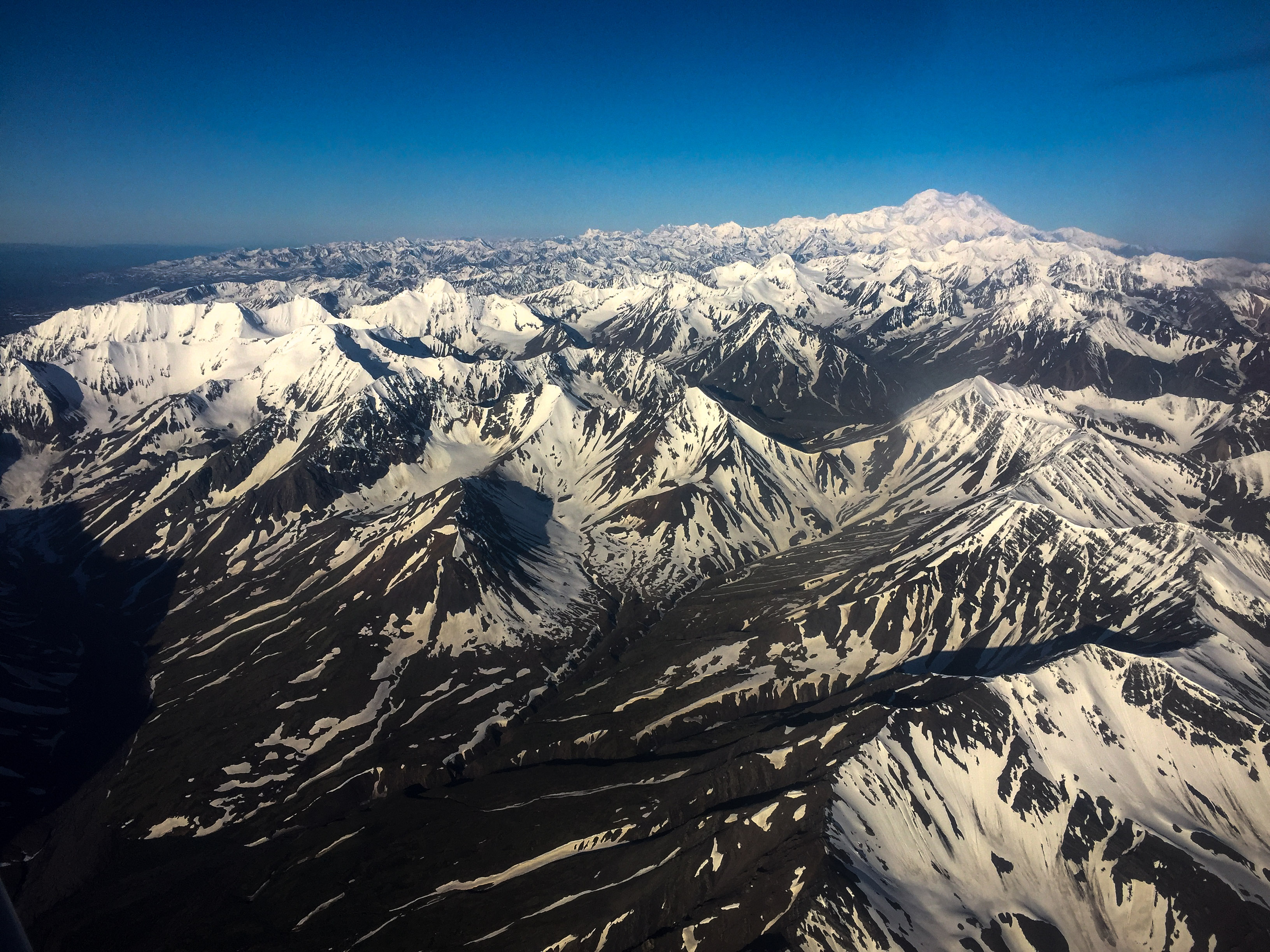
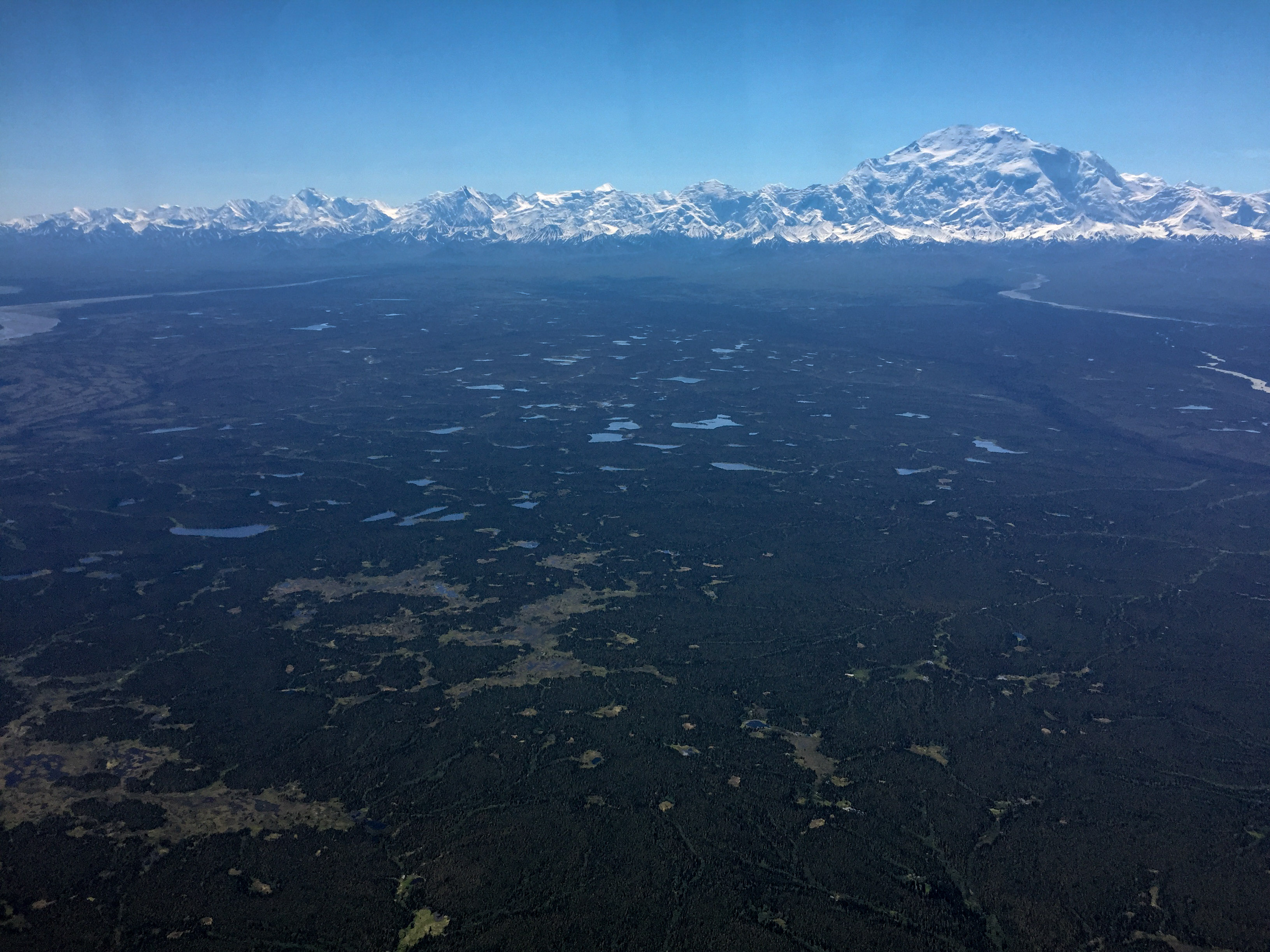
Just after lifting off, Denali jumped into view, though this highly tortured photo doesnt do it justice (It’s the white blip on the horizon just to the right of centerline).
Shand, Hayes, Hess, Deborah — Fairbanks icons.
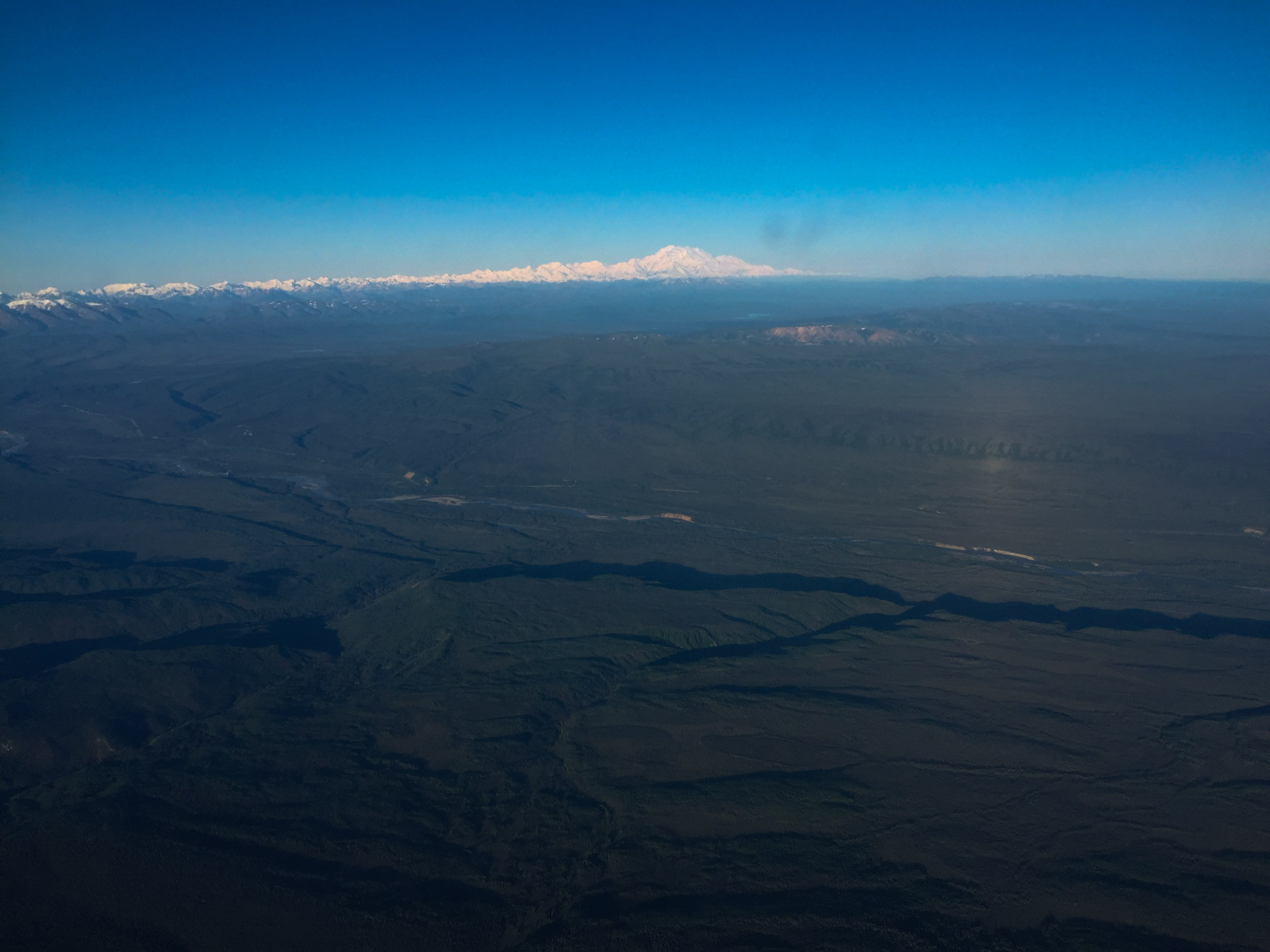
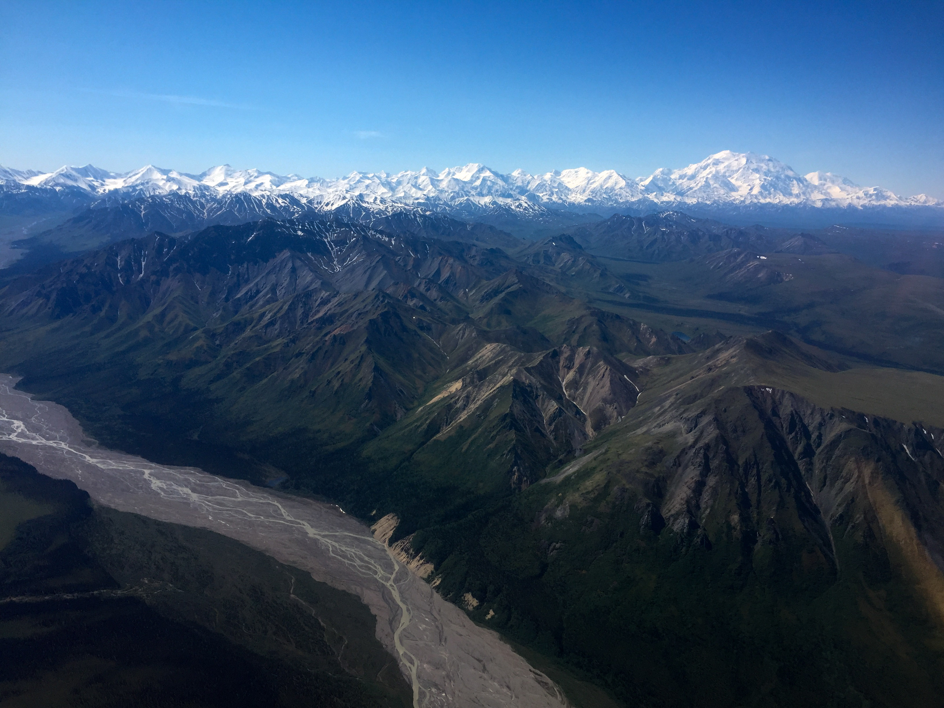
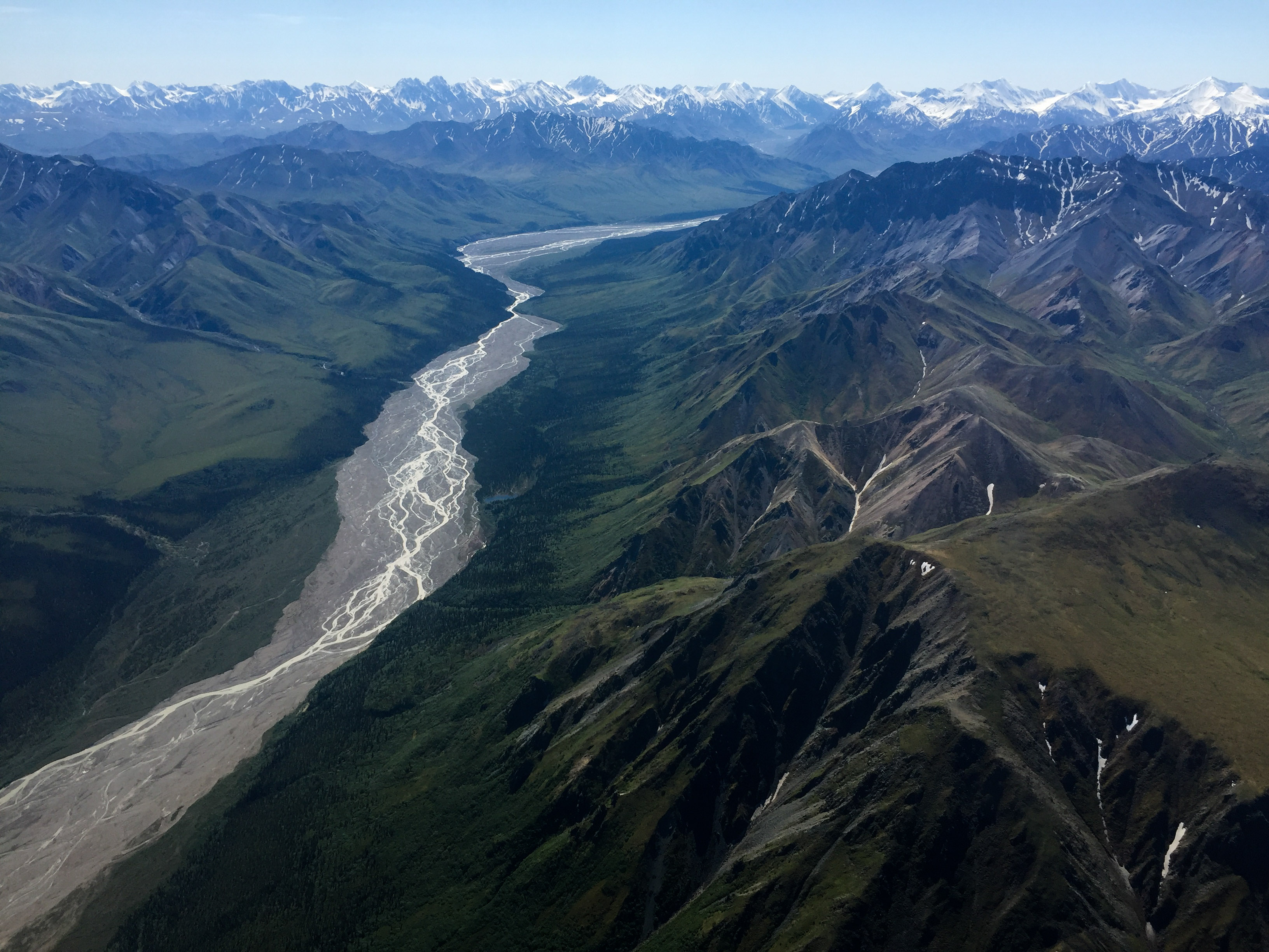
It was so clear, I think I was seeing Mt St Elias in the distance, but I’m not sure that’s possible.
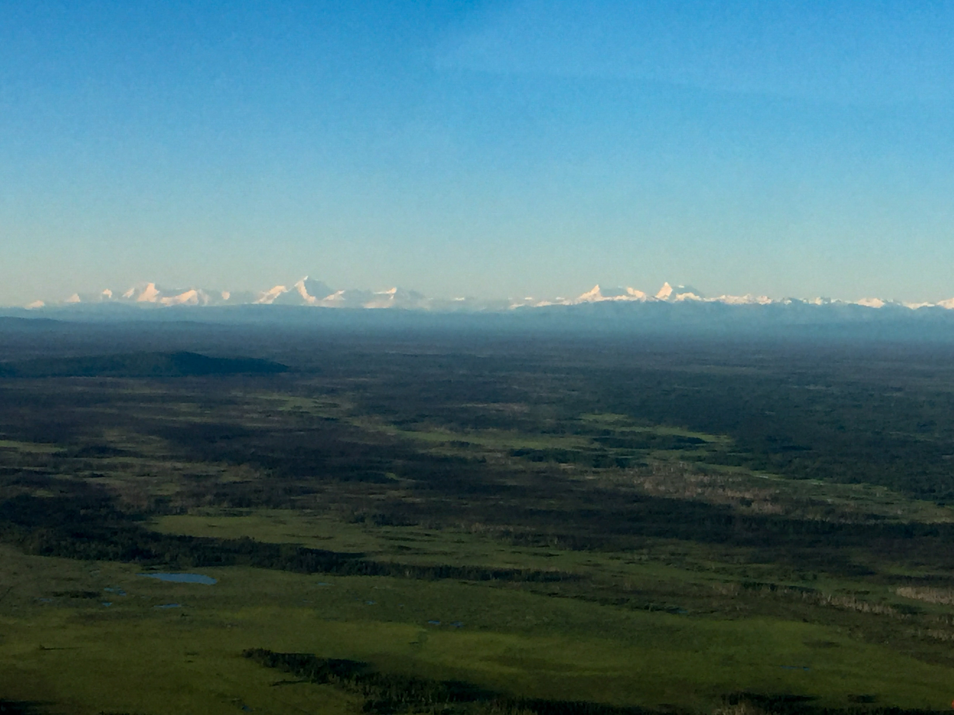
I was a bit concerned that by 8AM I was already seeing some puffballs develop, as on some days these can turn enormous in minutes. But apparently the air was dry and the pressure high, and not a single real cloud developed during the day.
By the time I finished the high lines, the flightseers had woken up and were treating tourists to the awesome sight. My lines today put me right in their normal flight path and had the added complication of crossing a radi0 frequency boundary, so there was a lot to juggle but by now they were mostly bored of me as I was easy to miss, flying in straight lines at constant altitude. I finished the lower lines by about 10:30 AM and headed to Healy to refuel.
The upper Sancturary River. You can see a few puffballs forming just below the horizon left of center. They look so harmless at this stage, like a baby lion…
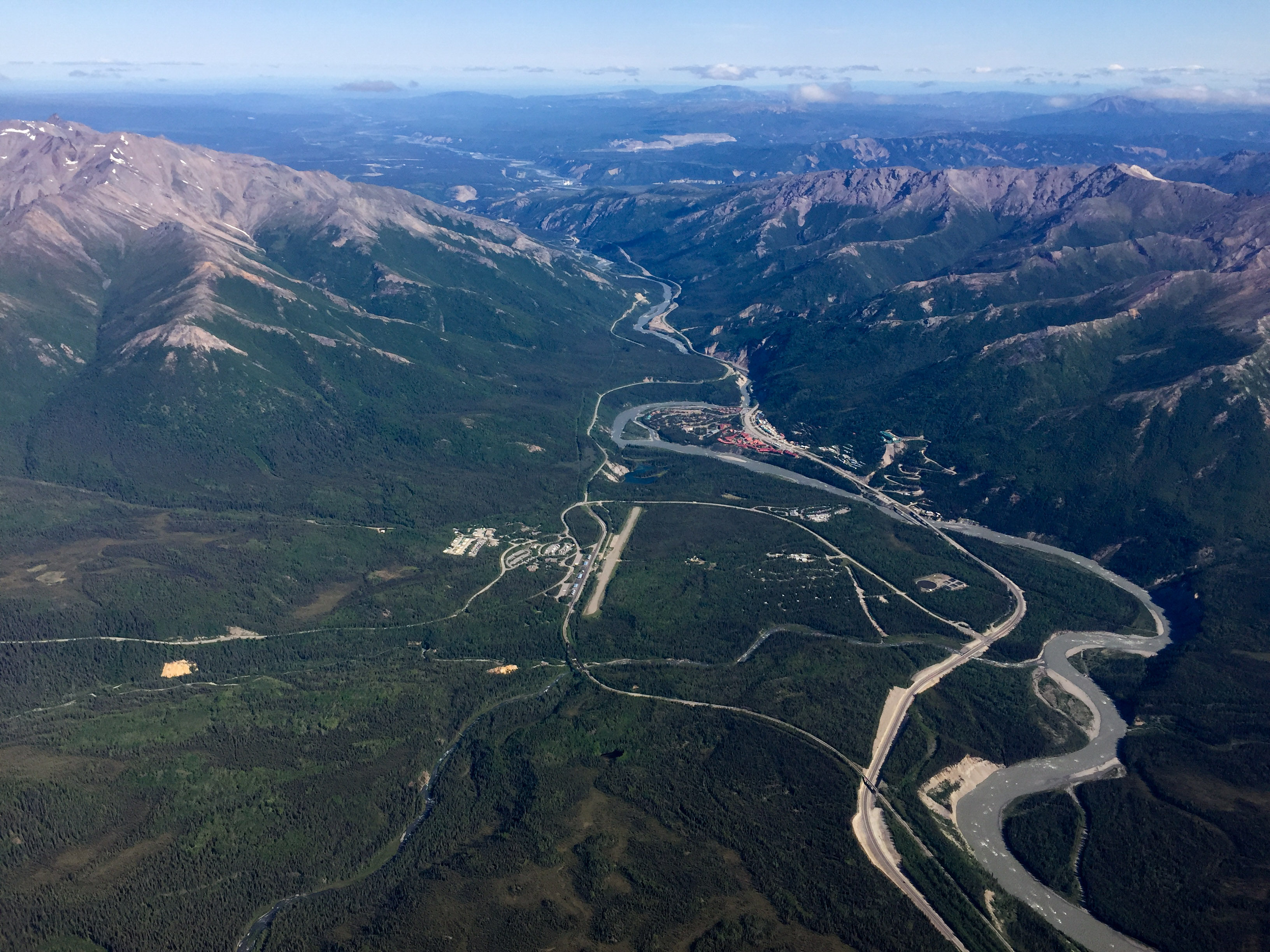
PAIN and the park entrance, where the road starts.
Normally I’m cursing the clouds while refueling. Today I had to find something else to curse at.
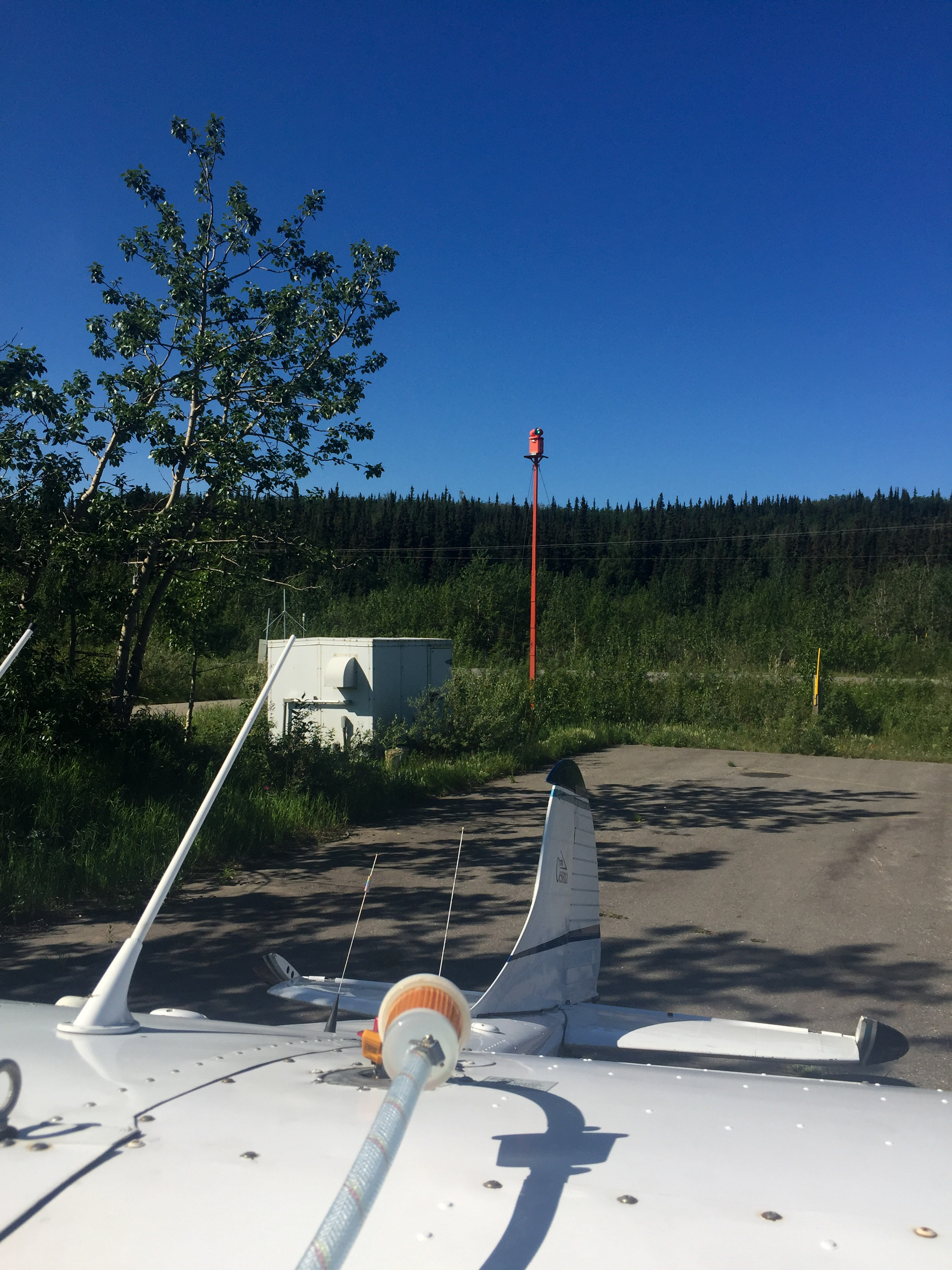
Normally this is the time of day where I sigh and think “if only these damn clouds werent in my way I could finish this project today”. But there were no clouds. So I tankered up fully hoping that I could get a truly full day of flying in, borrowing a ladder from the good folks at Air Denali so I could fill my tip tanks too. The winds were from the north, so I thankfully could take off in that direction, as the other way you have to immediately begin worrying about terrain. Though I did learn that moose arent very observant but once they see a plane heading towards them they depart the runway quickly.
The goal now was to finish the cleanup on the northwest corner and complete the project! The cleanup went well enough and I was glad to turn off the camera for the last time on this project, but there was still plenty of daylight, no clouds, and fuel in my tanks so I decided to go for some extra credit and map the road.
I had mapped the entire road just for fun almost exactly a year ago. Those data, in part, were what led to this big project as well as two more road maps. The big block was planned for a resolution of 25 cm. The road was planned at 10 cm. From conversations with the Park staff, it seems the road data has been put to good use, as there a number of trouble spots, such that a time-series of such maps will not only measure the known problem areas but potentially help discover the currently unknown ones before they become emergency issues. So I dropped down over Kantishna and headed east over the road.
Mapping like this is probably unusual. Or at least I dont know if anyone but me does things like this. With my tiny, slow flying plane I’m able to essentially ‘drive’ the road by flying directly above it and making ridiculously uncoordinated turns that keep the wings level so that the camera stays pointed straight down. The other challenge is to maintain a constant distance above the road, even though the road is going up and over mountains and valleys. So I follow the road by eye and maintain my height by eye. I’ve done this a bunch now and it seems to work fine, but I suppose it is an acquired skill. In any case, soon enough I was at the end of the road and headed for home.
So that’s that. In all it was 9 days of mapping spread over 19 days from start to finish, traveling 7000 miles, and acquiring almost 40,000 images to map about 5000 square kilometers. In the battle of 21C vs The Big One, I counted up 8 lines that I wasnt able to complete once started, though nearly every day ended shorter than I would have liked. So maybe in the end it was a draw, but the important point is the data are now acquired and the real fun can begin.
Cant complain about weather like this. Too bad about the view though…
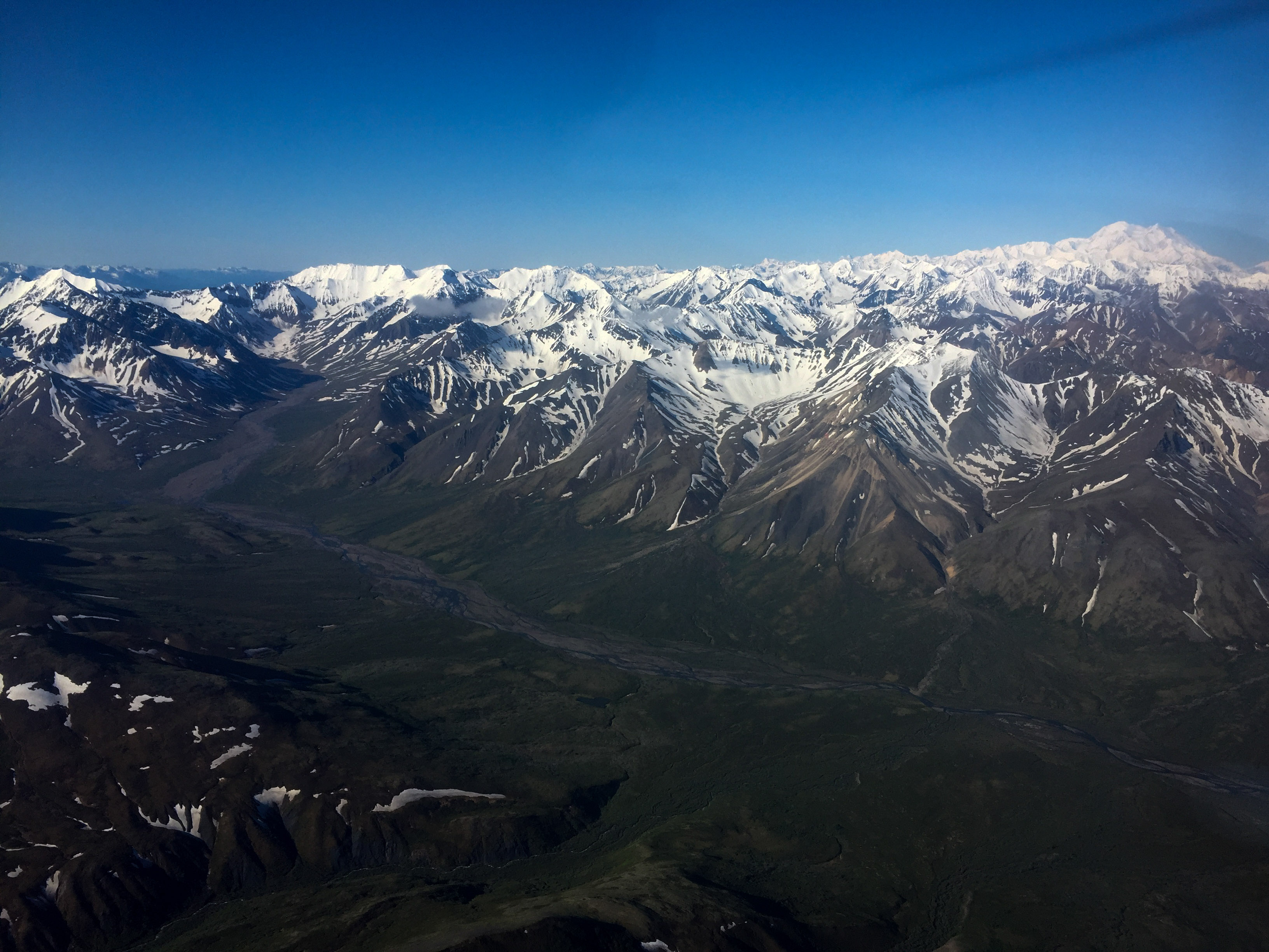
Soon I’ll know the exact elevation of everything in view here.
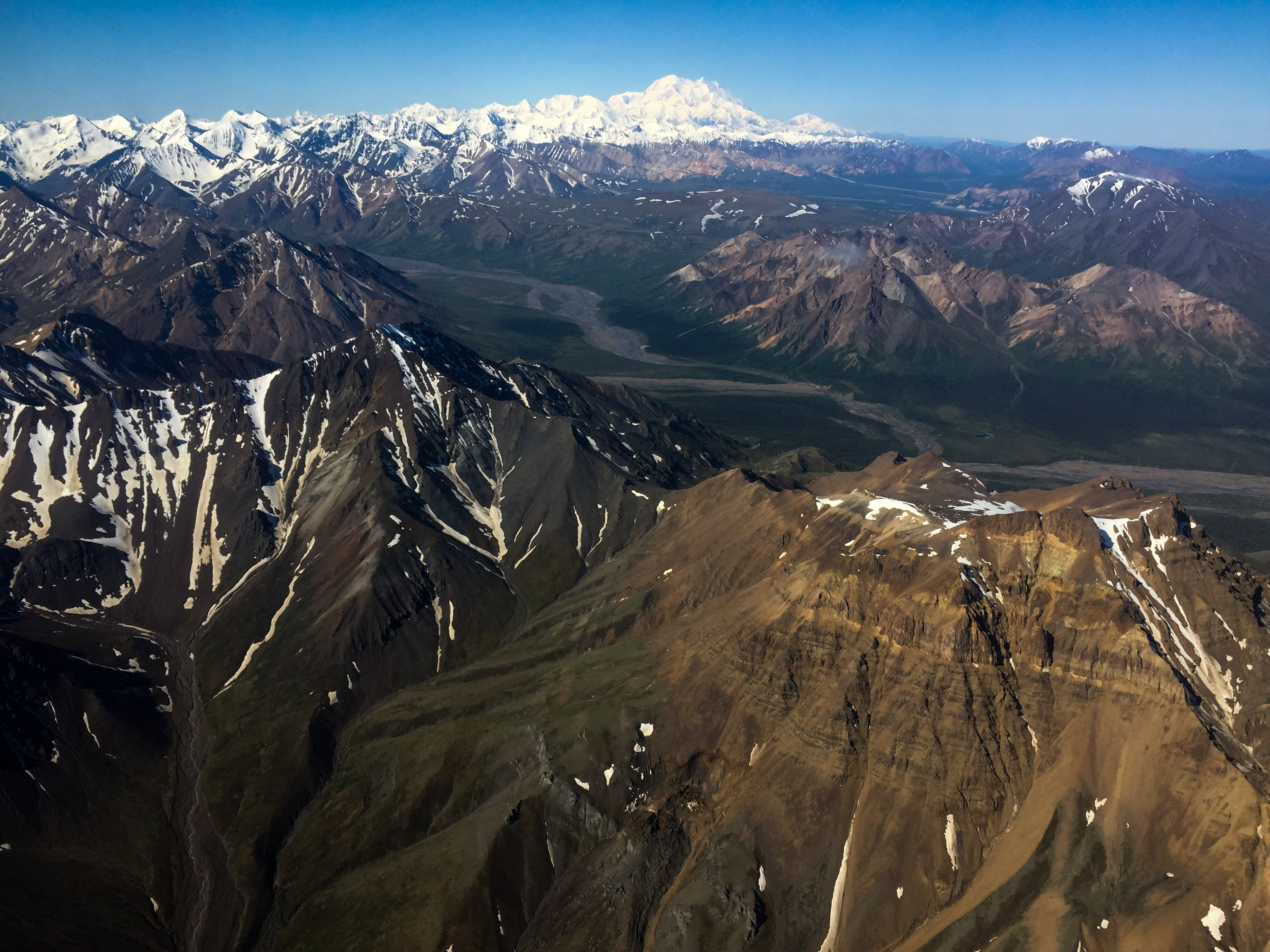
I like it better from a distance.
The road, and its half million travellers per year, all trying to see this. I’m glad I wont have to for a while…
I lost a lot of battles, but seem to have one the war.
A long but productive day — the last of everything!