Geomorphology
Fodar can detect subtle, natural changes in the earth’s surface. River geomorphology is just one application.

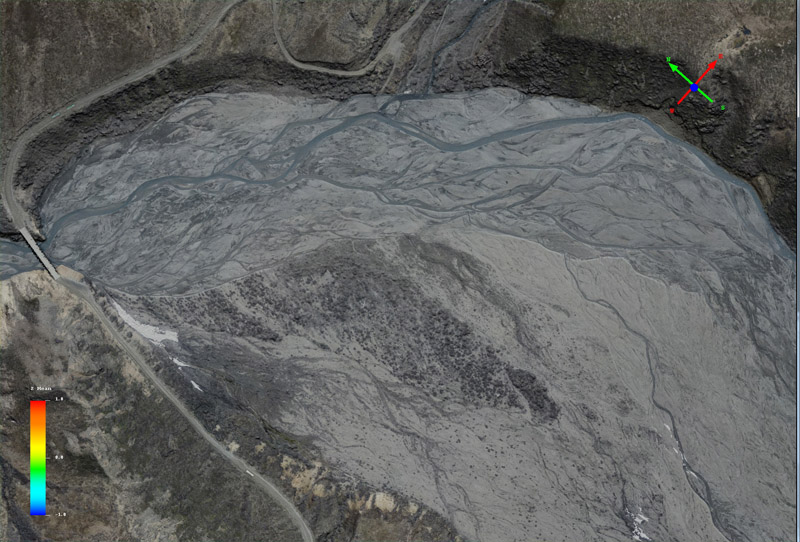
Here is a section of the Toklat River in Denali National Park in early June. Mouse-over to see the same area in late August. Note that the position of the river and its braids has changed considerably.

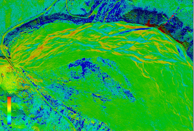
Here is the same area, this time as a difference image of elevations. These are direct measurements of change in topography caused by stream channel migration, deposition, and erosion. Note that fodar does not measure the height of water accurately, so some care is needed to distinguish apparent elevation change corresponding to the water bodies themselves, and much of the change seen here is over either old or new water channels, as seen in the mouse-over. Most of the dark blue is shrub growth.


