There are a lot of remote, beautiful places in Alaska that we would like to map to assist a variety of useful public purposes, as Alaska is not mapped nearly as well as all of the other States. My favorite purpose is my hope that our maps will give people who are unable to travel here the ability to explore these places virtually, in resolution far beyond what you can find in Google Earth, to expose them to the value of protecting these places. Exactly how valuable the public may find this 3D experience is what we are exploring with the crowd-funding effort we are announcing here. But we also hope some will find value in continuing to make maps of Denali for the purposes of studying changes to glaciers, to improving climbing safety by assessing changes to climbing routes, and to potentially assisting with searching for missing climbers in near-realtime.
We are therefore seeking support directly from the public to share this map publicly and to continue to make more such maps as a public service. It’s the first time we’ve tried this, so it is an experiment for us and your feedback will determine it’s success!
This video gives a two minute overview of the best map ever made of Denali.
To learn more about the acquisition of these data, click here.
To learn more about the science of making this map and determining its accuracy, click here.
To contribute to making more maps of Denali and sharing them publicly, click here.
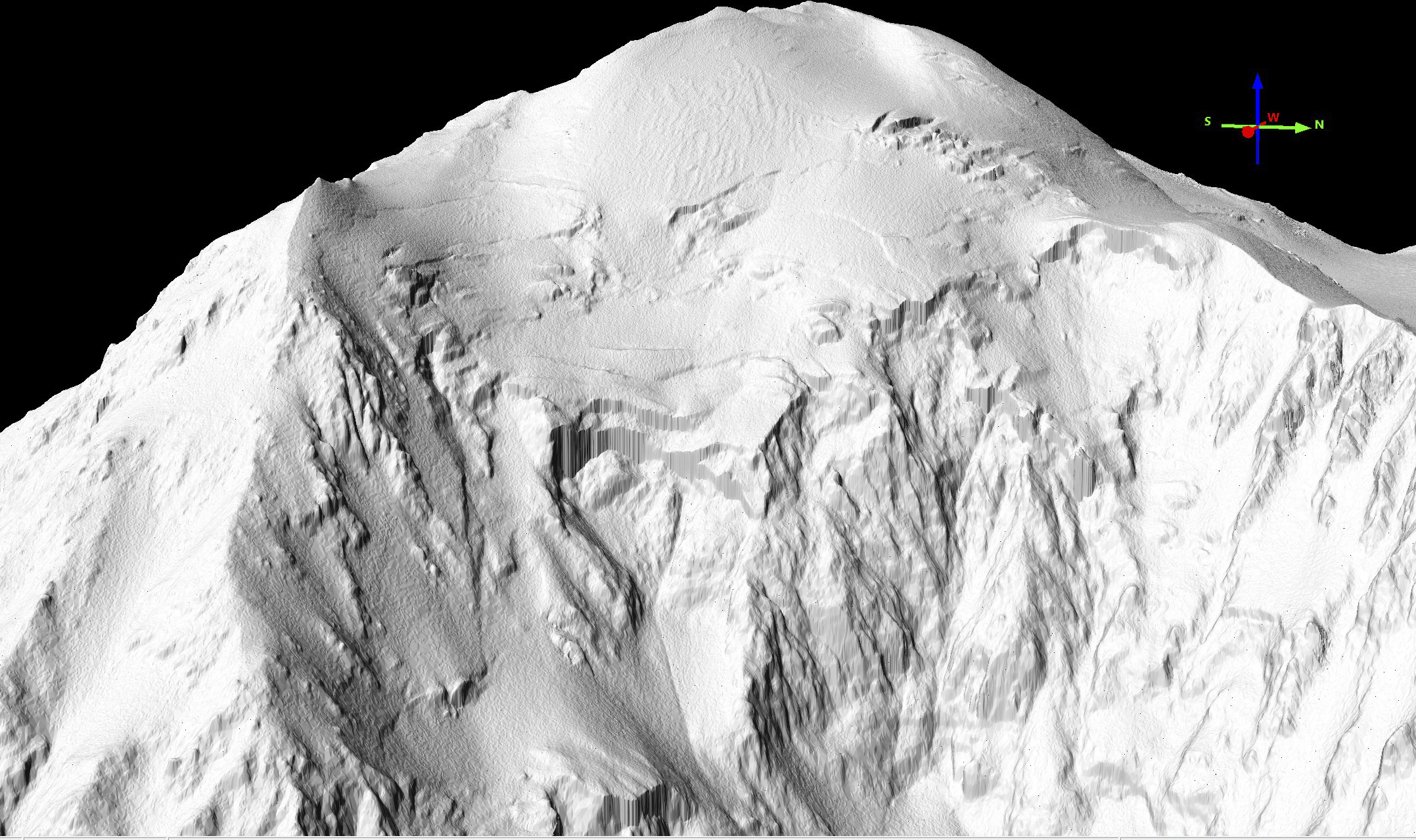
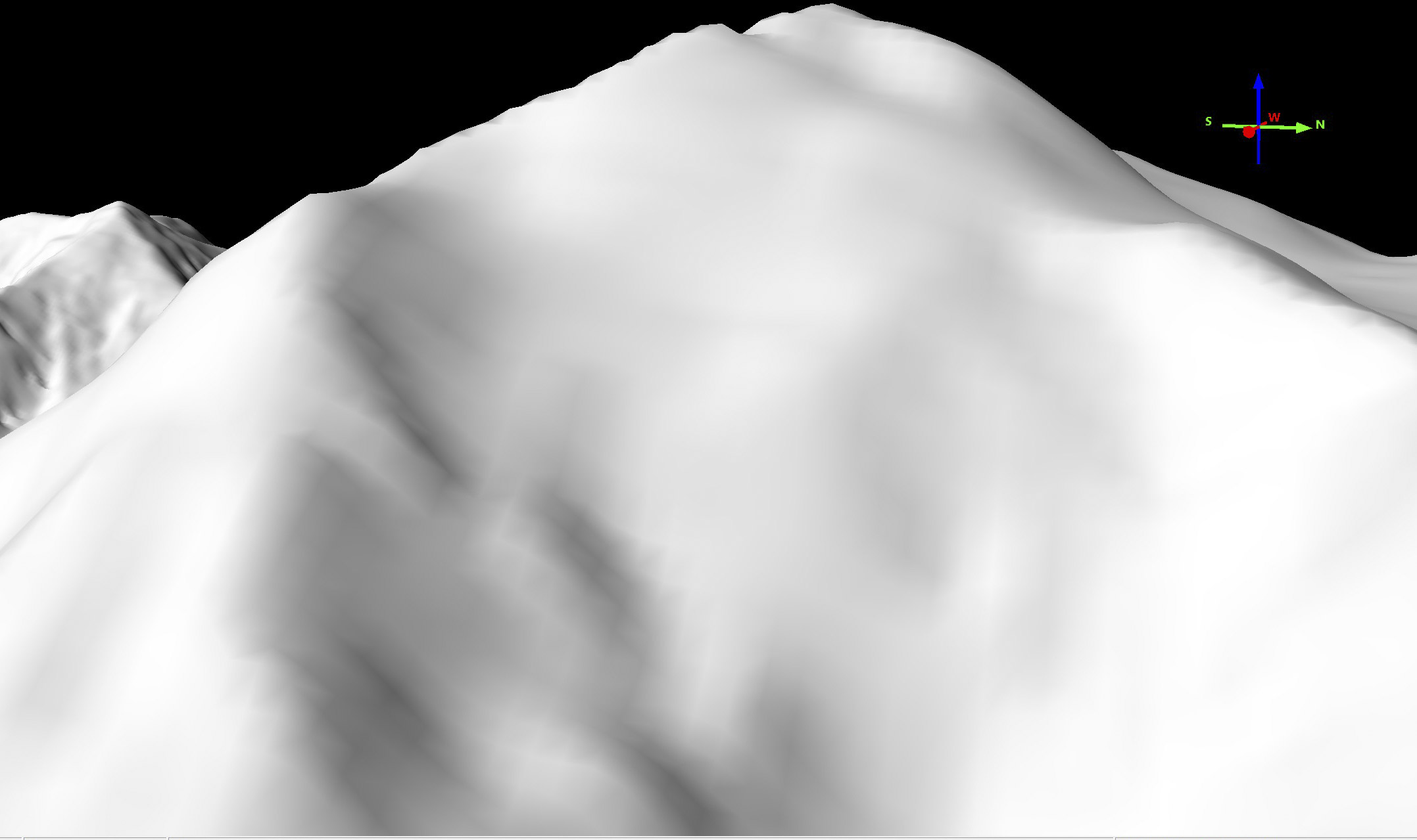
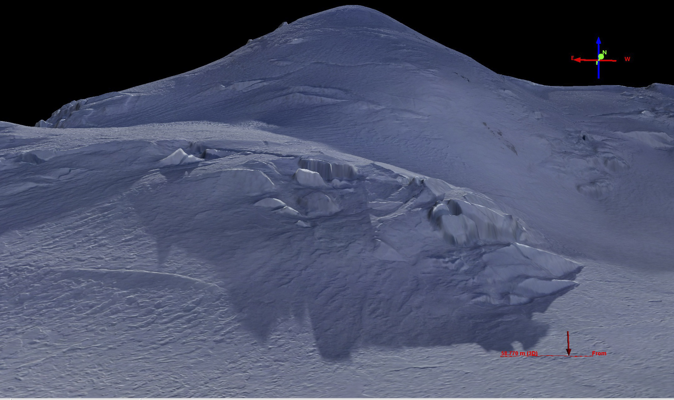
Not only can we measure changes to Denali’s large glaciers, we can measure changes to its smallest snow drifts. Notice the transect at right, running over a small snow drift. Our measurements clearly resolve it’s size and shape, as shown in the elevation profile below. It is only as high as your knee, but is clearly resolved in topography, along with variations within it. Now consider that this is one of probably millions of snow drifts on that mountain that were measured with that precision and you have a good idea of how awesome this new fodar map of Denali is. That is, we didn’t just measure the peak elevation of Denali, we measured it’s topography down to the point of measuring the shape of each individual snow drift — had there been any climbing teams on the mountain, their tents and even their bodies would have become part of this map.
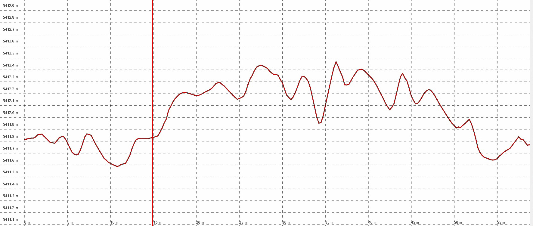
Here is an elevation profile of the snow drift in the previous image. The horizontal ticks are spaced 10 cm apart, the vertical ones 5 m apart. That is, the height of those wiggles is about the size your head.
Here you can fly around on the data at nearly full resolution. If you dont have a mouse with a scroll wheel (for panning and tilting and zooming), you can use the icons in the upper right corner to fly yourself around. Hosting the data online like this is not cheap either, so your contributions help us to share the data with you in this way. Once we release the data publicly, scientists, land managers, and the public will also be able to use the raw data for analysis and study, not just for visualizations like this.
Shouldn’t the government pay for this?
Well, maybe they should, but we didn’t ask anyone in government to pay for it before we made the map. And even if we did ask, few probably would have believed that we could accomplish something so awesome. But even those that did believe us would struggle to find the money needed for a government contract, and times are only getting tighter. If you’d still rather the government buy this map, feel free to write to your favorite politicians or land managers and ask them to become TopoHeros! If either funding the map directly or with your taxes sounds reasonable to you, there’s a lot of beautiful places in Alaska that need to be mapped! Become a TopoHero today!