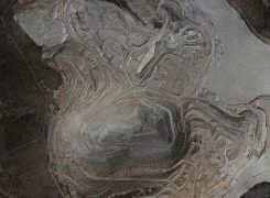
Mining operations actively change the shape of the earth on a regular basis. Fodar maps can measure cut and fill volumes, form base maps for planning, document reclamation, detect uncontrolled mass movements before they occur, monitor dam integrity, track assets, and any other use where the shape of the land (or anything on it) is … Continue reading Mining
