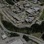
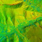
Wildlife
Anything on the earth’s surface is topography to fodar, including caribou and their footprints.
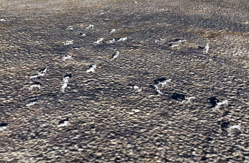
Here are some caribou grazing on the tundra, as seen in a point cloud (rather than the DEMs in previous images). Mouse-over to see them isolated from the terrain for numerical analyses. Note that you can see their antlers. During winter, we can track where animals have been by their footprints in snow, and take good guesses at their numbers and activities.