
Success in Unalakleet, again!
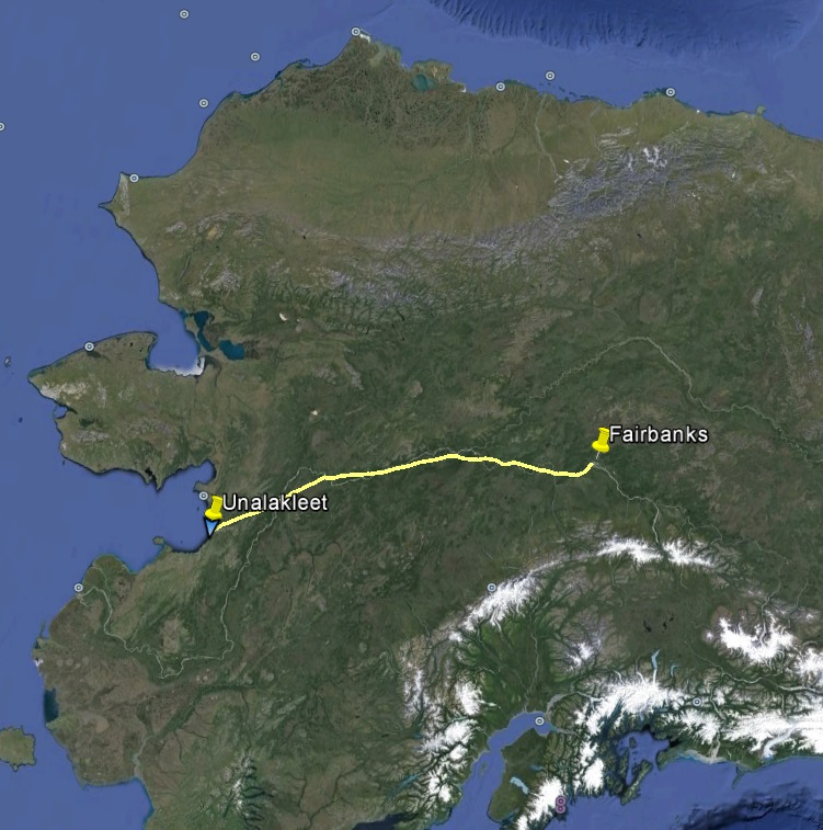
In less than a week from signing a contract with the State to map the entire coastline from Wales to Bethel, we have already made our first map here. Or rather our second, since I made one here in September 2014 — see fairbanksfodar.com/success-in-unalakleet and fairbanksfodar.com/unalakleet-data-delivered
Planning for this project was an enormous job, involving several all nighters and a lot of overnight shipping. Besides the 30 or so separate villages to plan, there was the crenulated coast stretching over a thousand miles. I needed to develop new techniques both for planning and executing a project of this magnitude and complication. Given that the project was intended to begin in early June and it is now essentially early August, the plan also had to be efficient. When starting in June, a few days of downtime for aircraft maintenance or weather is just simply downtime, but now it is time lost from being able to accomplish the project. So a lot of the preparations were about making sure I had spares and spares for more spares of just about everything, to minimized that downtime.
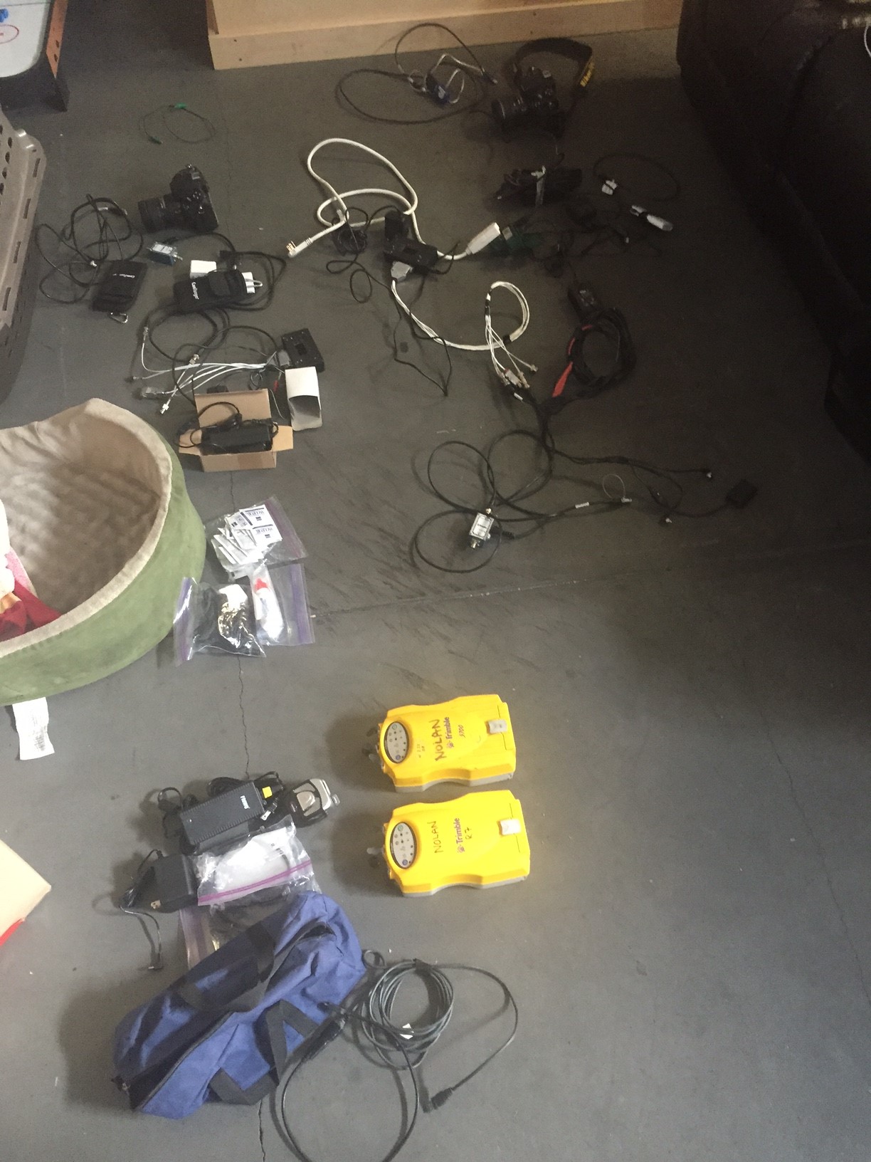
Making sure I have duplicates of everything with me, and spares back at home ready to ship…
The weather in Fairbanks had been pretty cruddy the past week, though it improved enough this morning to let me sneak out. Between there and Tanana I flew over smoke, under clouds, and around rain squalls, but I had blue skies mostly after that. After refueling in Galena and saying hi to friends, I continued on to Unalakleet. When I left Fairbanks, the weather in Unalakleet was calling only 300′ ceilings, not good enough for landing let alone mapping. But my hope was by the time I got there it would improve, which it did. I tried mapping on arrival, but ceilings were only about 1000′, which was good enough for landing but not for mapping. After refueling and sorting out a place to sleep, the clouds broke up around town, so I launched off to make my first map of this project.
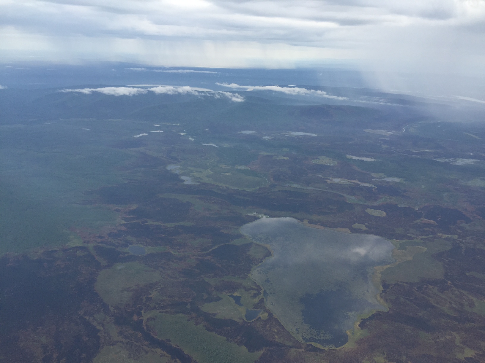
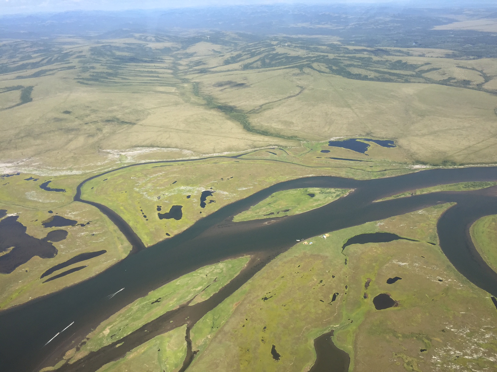
The weather was pretty marginal on the way out, but opened up along the route. Here you can see both sources of our bad weather this summer — burned ground and scuzzy rain.
Unalakleet. On that other ocean. The one to the south of the one I usually visit.
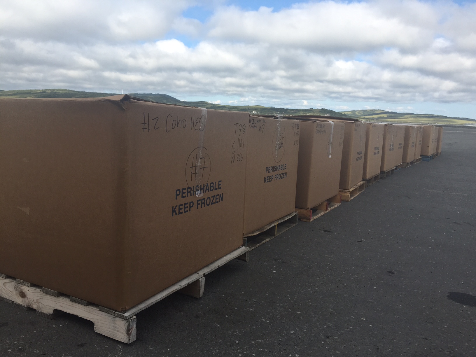
On the hot tarmac at Unalakleet where these boxes, which clearly say Keep Frozen. As a glaciologist who has shipped lots of ice, images like this give me nightmares.
That’s Maggie, heading up river to her cabins. Having never met before and just showing up on her doorstep, she gave me the key to the hotel and said she settle up with me next week some time.
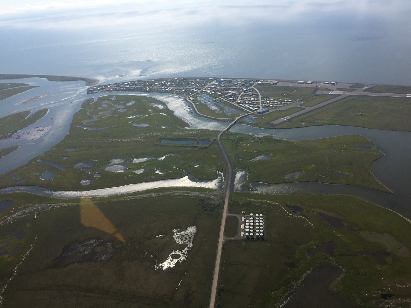
Downtown Unalakleet. Er, well, all of Unalakleet.
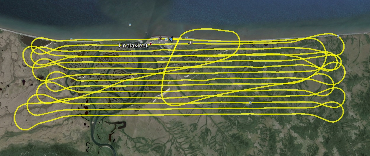
The acquisition went well, but the weather window lasted only about an hour. On my last two lines, the blue skies had been replaced by a solid overcast that was steadily getting lower, pushing me closer to the ground. Fortunately I was able to finish up before it lowered further, but it was a firsthand demonstration of how tricky this project is going to be. Between the remote logistics, coastal weather, and tidal planning, the planets are likely not going align as often as I would like. But it was a good start to the project nonetheless.
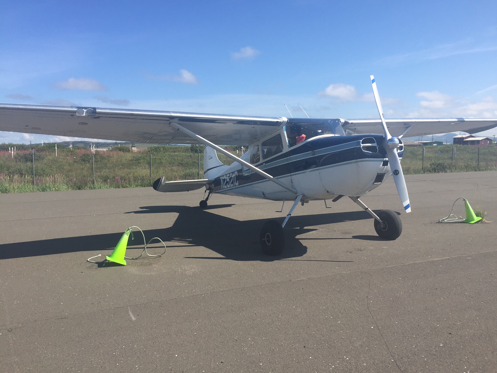 I launched when it looked like this.
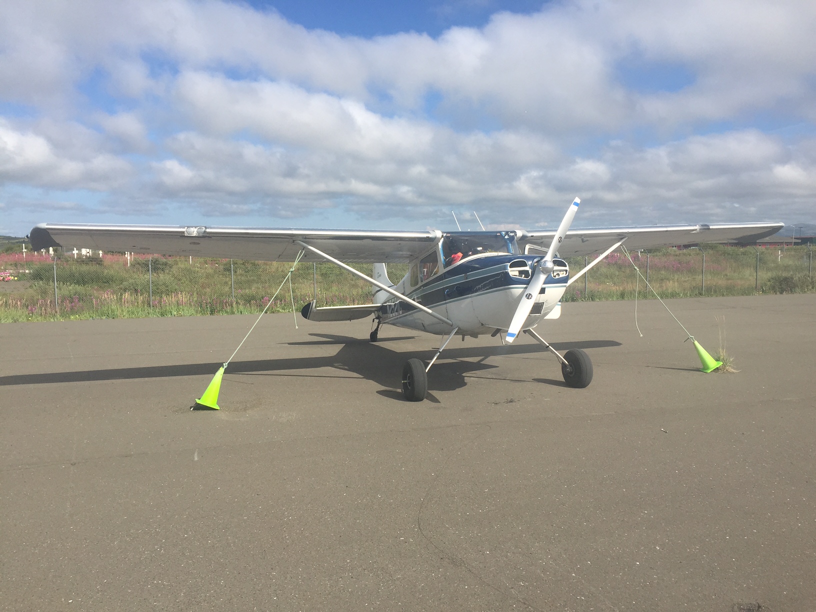
When I landed an hour later, it looked like this.
Initial checks on data quality look good, and after a delicious pizza from Peace on Earth, I’m ready for a nap and dreams of good weather.