
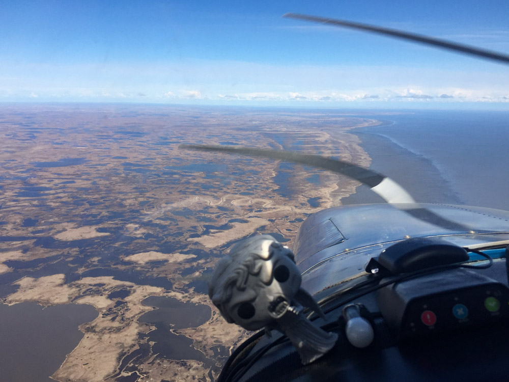
Eek!
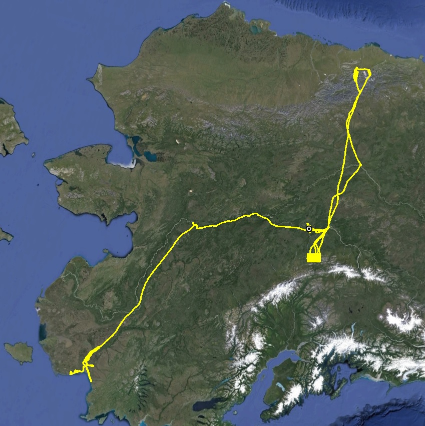
Phase two of the DNR project mapping coastlines and villages in western Alaska began today by mapping the village of Eek, and by day’s end included the villages of Kongiginak and Kwigillingok, a mile-wide swath of about 65 new miles of coastline and about 50 miles of coast repeated from last year to look for change.
This project began in July 2015 when DNR funded us to map a mile-wide swath of coast from Wales to Bethel, along with 29 coastal villages, for the purposes of assessing coastal vulnerability to storm surge, tsunamis and sea level rise. That’s the equivalent length of Seattle to San Diego. You can learn more about that effort here, here, and here, as well as a dozen other blogs from last fall. Despite the odds, I was able to map over 85% of our goals then, so now I’m here to finish it up. And apparently last year’s results were acceptable enough that they increased our contract to include 6 more villages (Bethel, Eek, Quinhagak, Goodnews Bay, Kong, and Kwig) and another 150 miles of coast line from Bethel to Platinum. So in total, I’m now here to map the equivalent of the east coast of Florida.
The day began with a 6AM weather check, when they update the prog charts. (Actually it began about 3AM because my neighbors were carrying on somewhat too loudly…) Weather reporting here is better than in the Arctic, but its still not great. In any case, all of the villages in the directions I wanted to go were showing 600 foot ceilings. But I was here and awake, so I figured I may as well check it out. Fortunately it was a beautiful day inland and it was just the outer coast under the clouds. I decided to head for Goodnews Bay and Platinum, as the tides there were good this week but worse next week, and was able to make it as far as Quin before the clouds merged together beneath me. There was enough room underneath to keep mapping, but this doubles my flight time and quadruples my processing time, and I wasnt feeling that desperate yet, especially since it was clear across the river at Kong and Kwig.
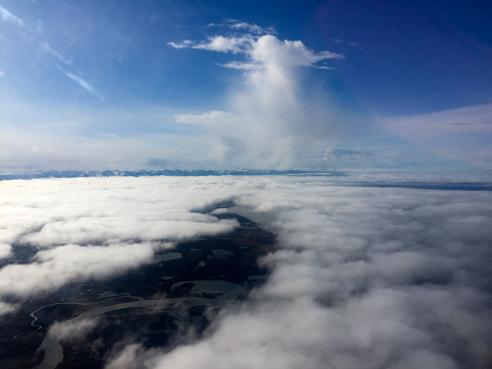
My first pass down to Quin stopped here. What kind of clouds start letting loose at 10AM?
Second pass was even less promising. Were the clouds a mile further down river, I would have mapped four villages today instead of three.
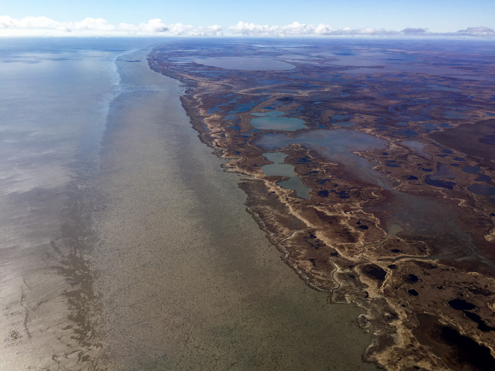
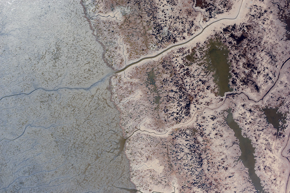
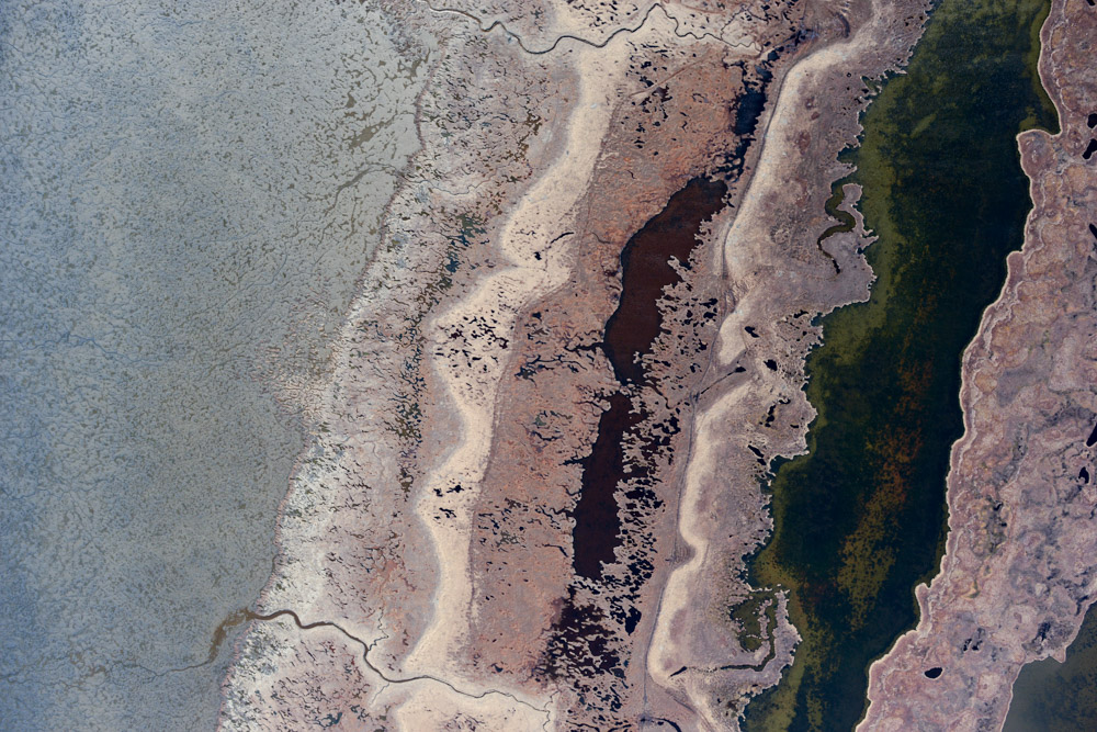
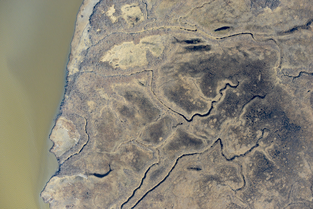
Once I had done as much as I could on the east side of the river, I landed in Bethel to splash in a little fuel and then continued on down the west side. The buildups were growing in the distance, but for the most part it was clear and calm down to Kong and Kwig. Being Sunday air traffic was pretty sparse. Just because I could, I mapped the coastline down and back to see if we might detect any change from last year. The tide was super low, so the mud flats were exposed. I’m not sure what it is about them, but I could spend hours flying over them and checking them out.

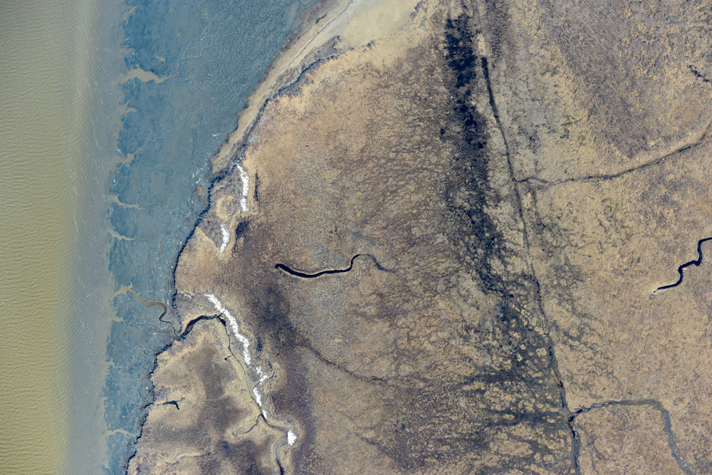
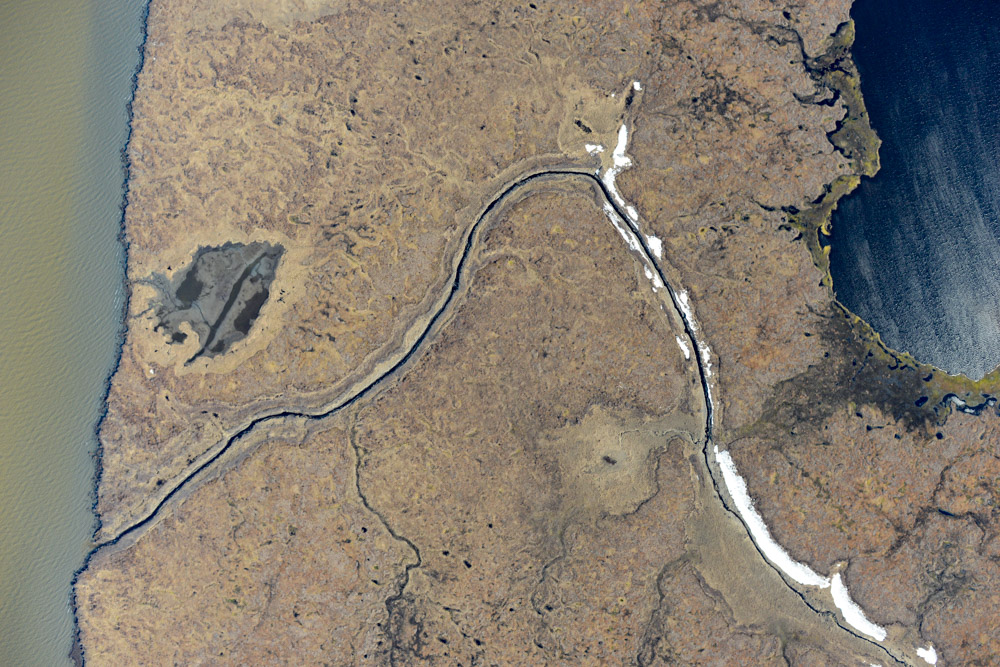
Kong. Not much between it and the ocean really.
Got the tides right!
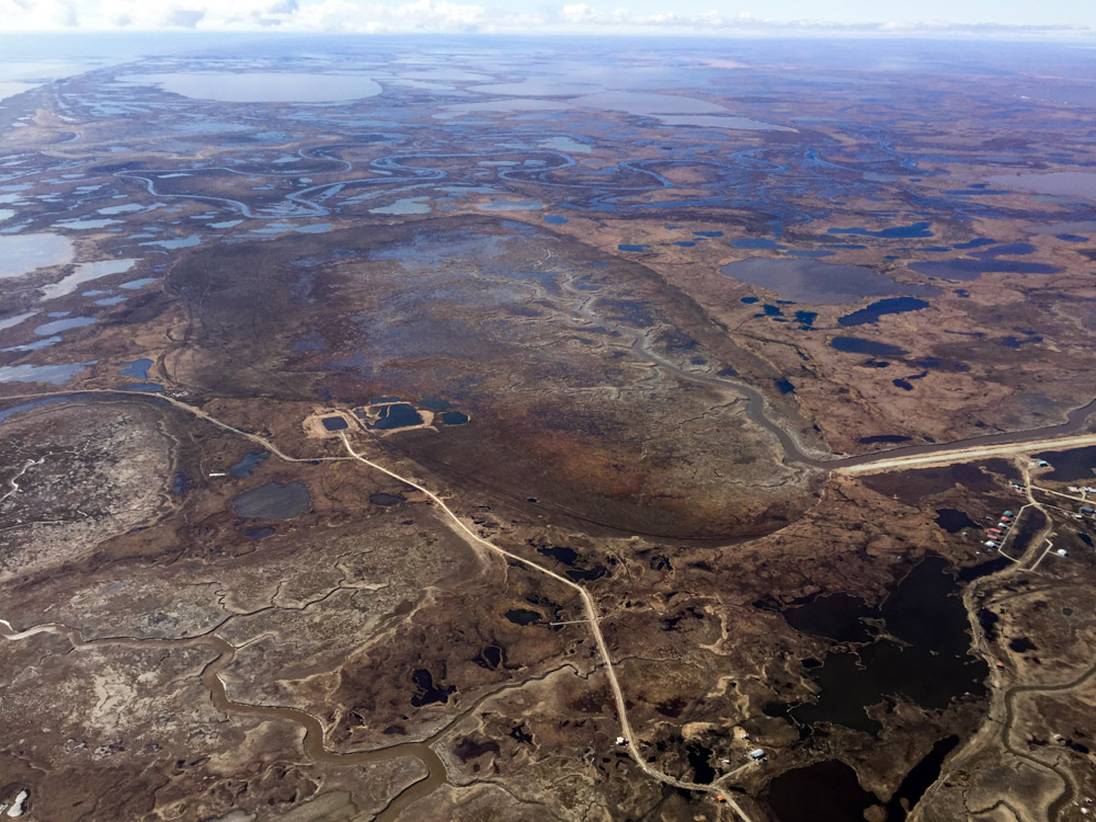
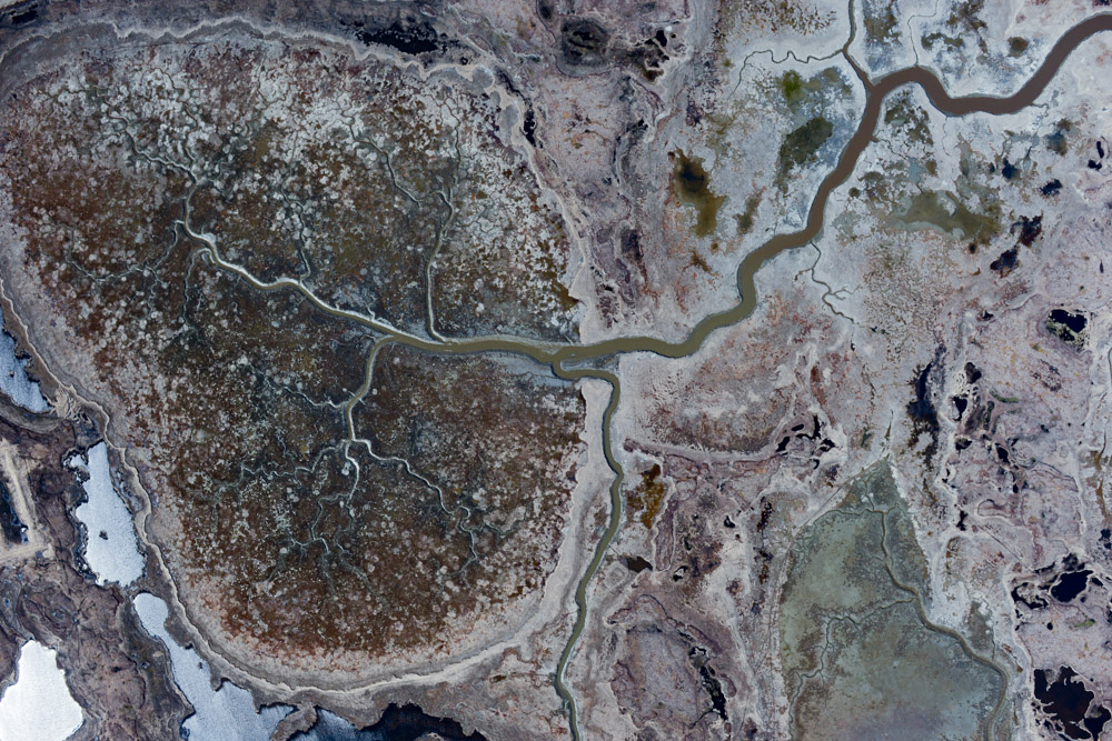
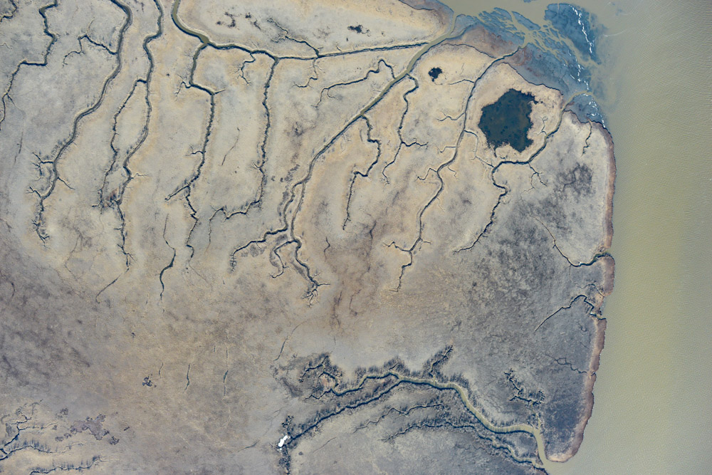
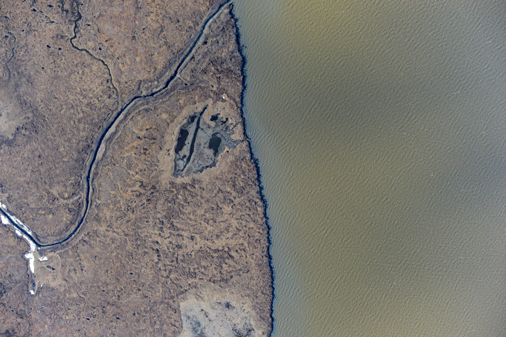
I really like this drained lake near Kwig. I spent a lot of time over the winter looking at the DEM I made of it last year.
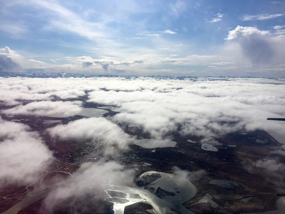
Looking across the inlet to Quin and Goodnews, ceilings were higher but it was looking pretty rough. Time to go home.
By the time I finished, it was late afternoon and Bethel was surrounded by a towering wall of thunderheads. Fortunately the airport itself was still in the clear, but the winds were coming from every which way and gusty, so “Eek!” wasnt the only thing that came to mind when trying to land, but I was glad to have gotten in 8 hours or so of productive flying on the first day. The forecast isnt all that great, so I suspect the next few days will be spent doing a lot more hunting for open stretches, but it would only take a few 12 hour days to finish this up and move on to the next mission.
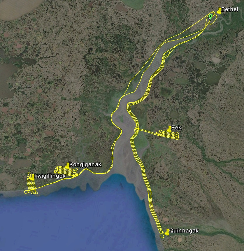
Today’s tracks, about 800 miles and 7000 photos.
Mudflats are cool.
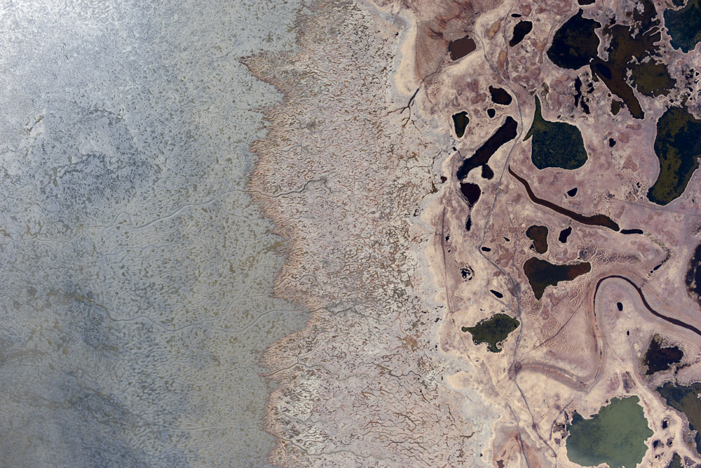
Drained lakes are cool too.
Beaches staring back at me are definitely not cool.
It’s been a long week…